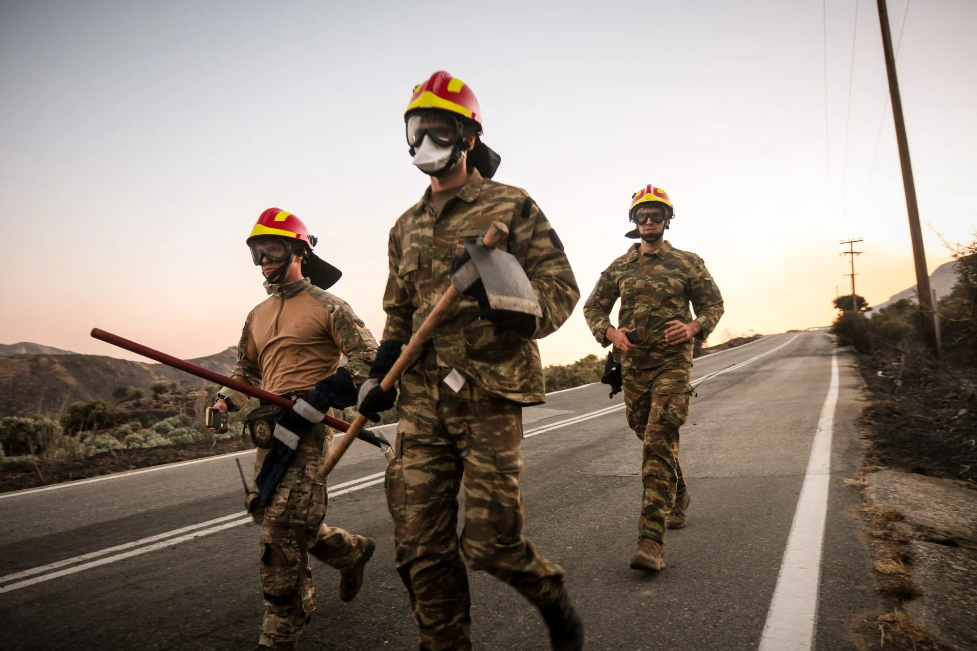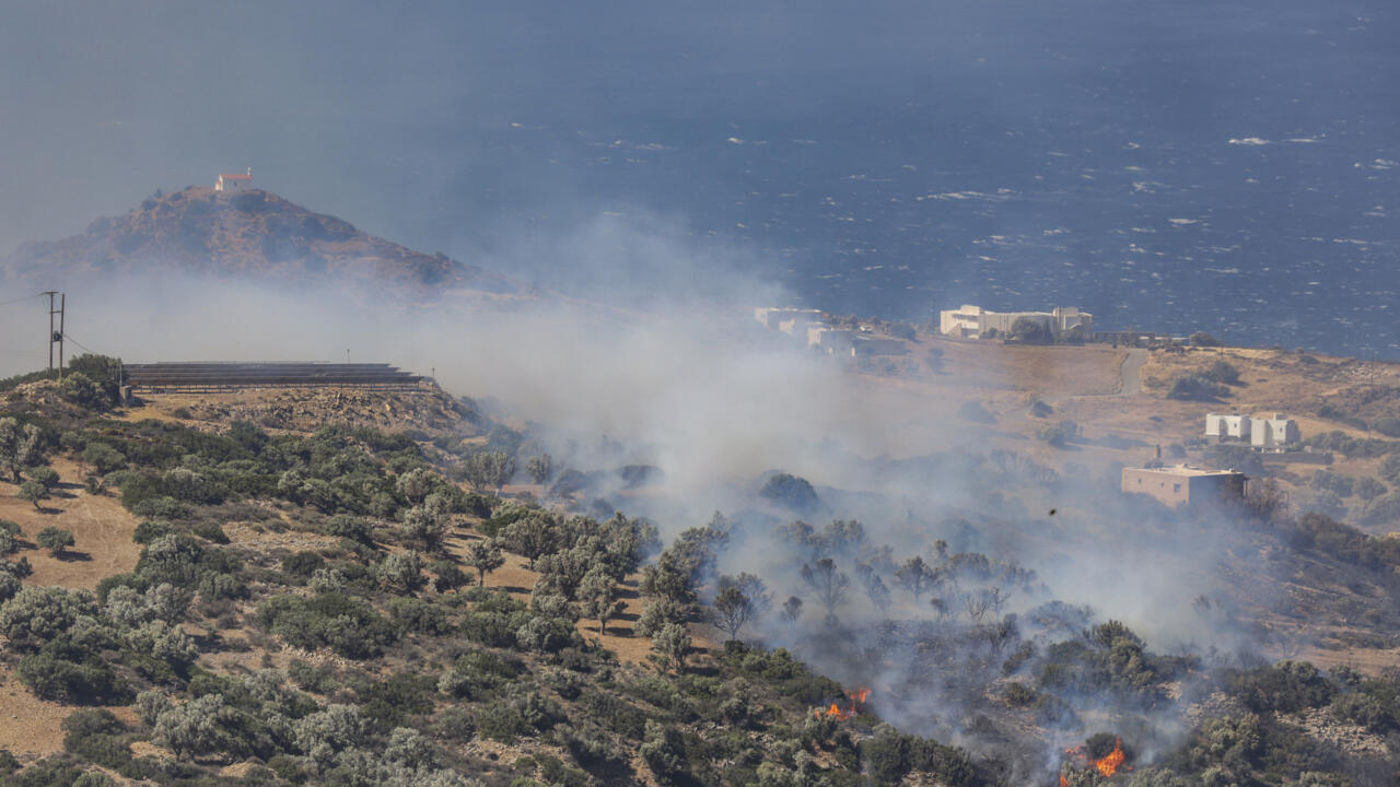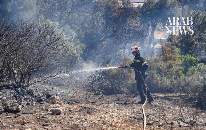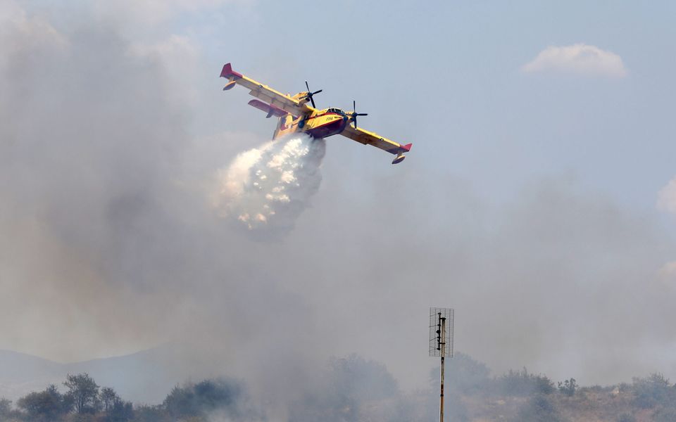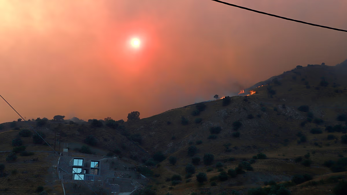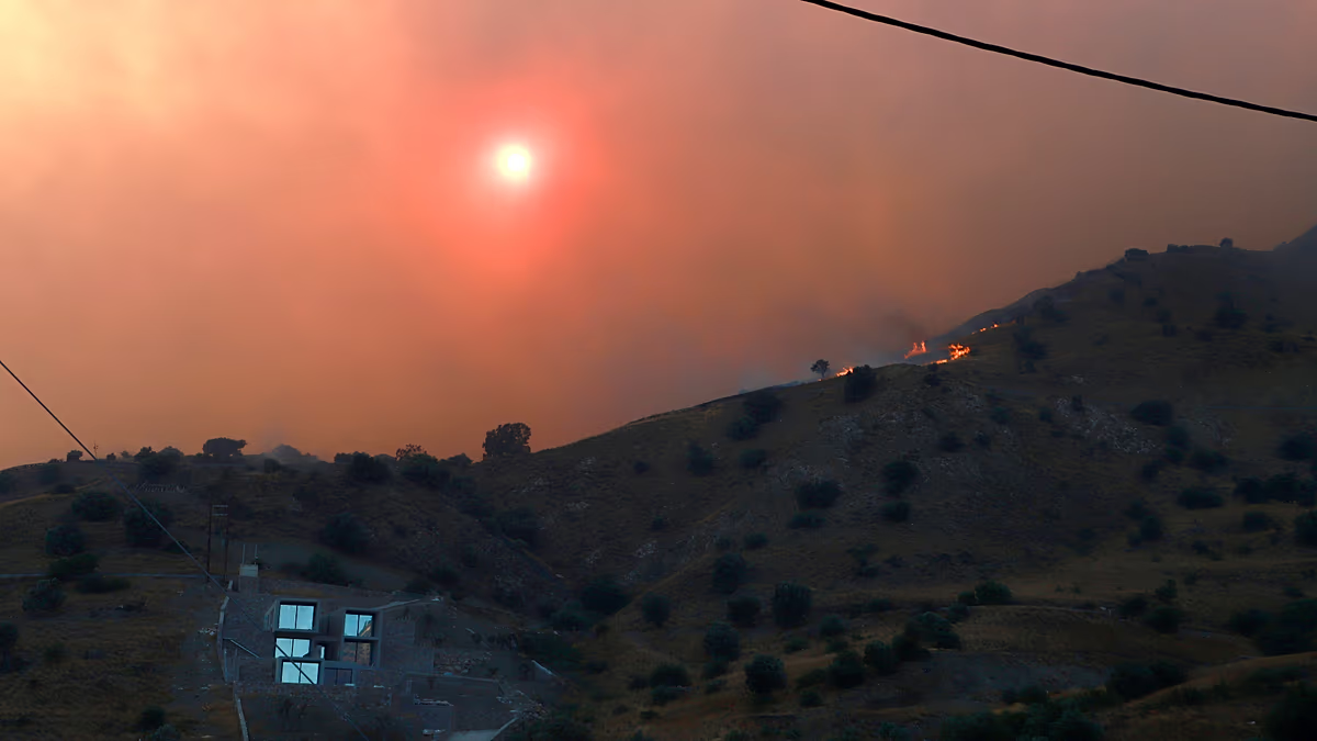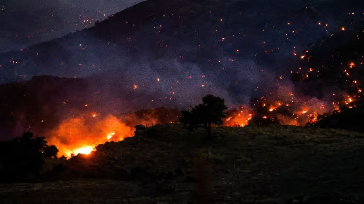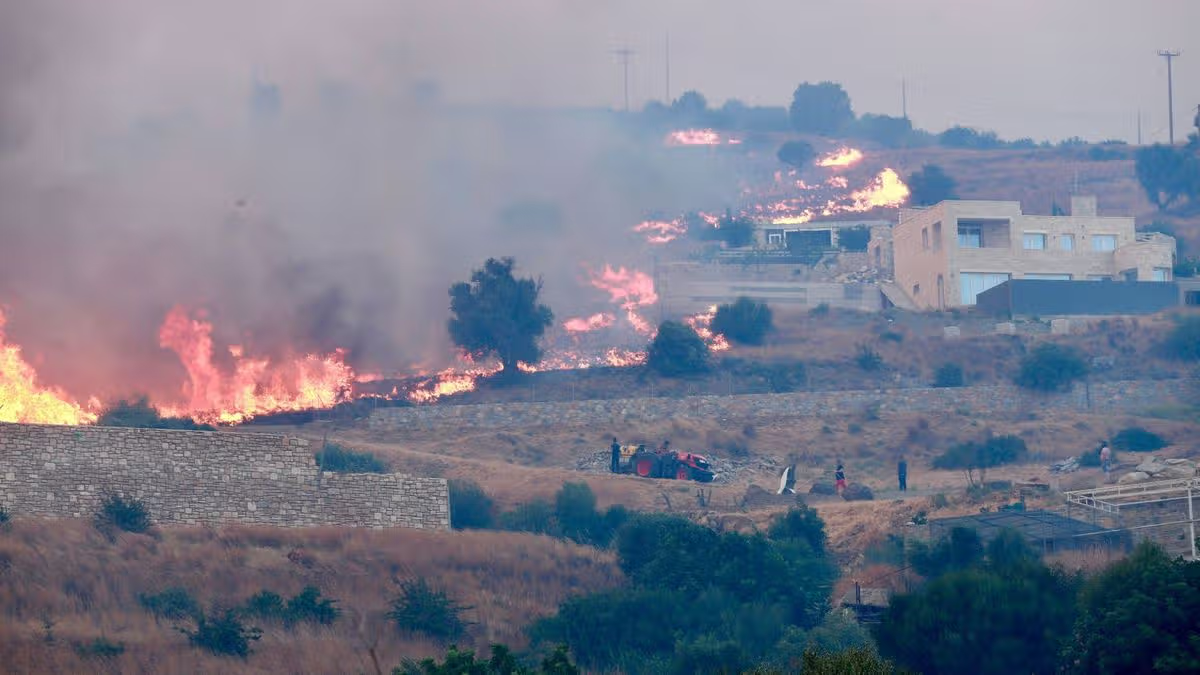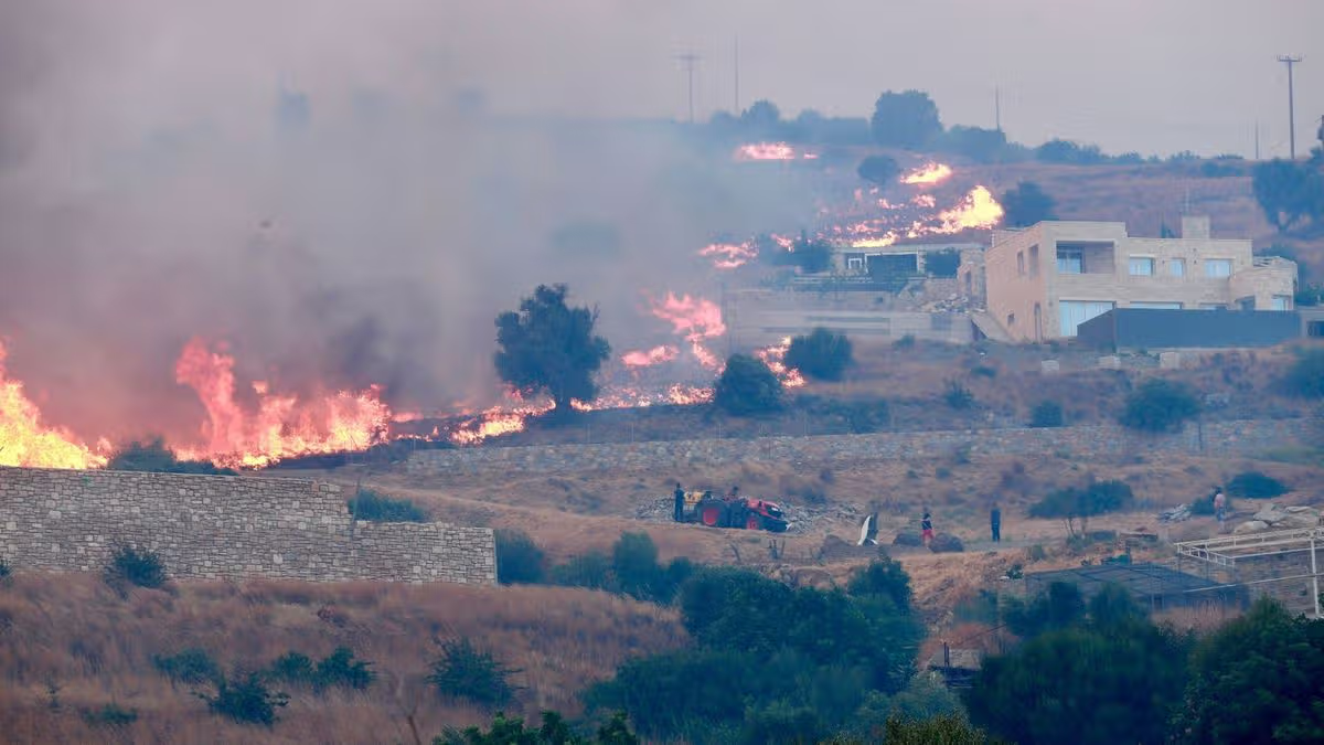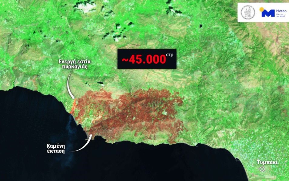
At least 4,500 hectares (11,250 acres) of land have been burnt over the past two days by the fierce wildfires blazing through the southern island of Crete, according to satellite data made public Thursday.
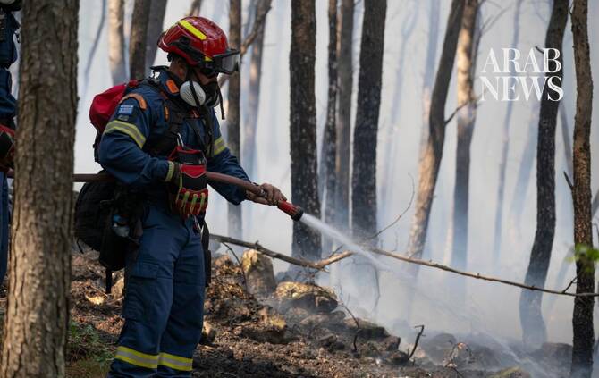
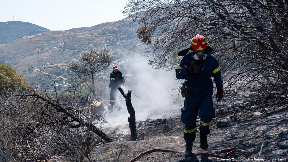
The calculation was made by the National Observatory of Athens, based on imagery provided by the Sentinel-2 satellite from the blazes afflicting the island’s Rethymno region, where two firefighters were killed trying to tame the flames Wednesday.
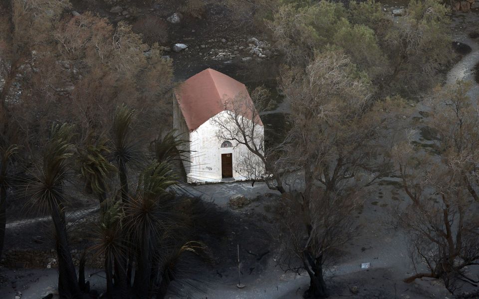
Meanwhile, officials said the Preveli area faced a particularly severe threat from the fires, amid very strong winds that largely prevented water-dropping aircraft from joining in the firefighting effort.
The Coast Guard said 51 people were safely evacuated by sea from beaches near Preveli Thursday to the port of Aghia Galini in patrol vessels and private boats, despite gale-force winds.