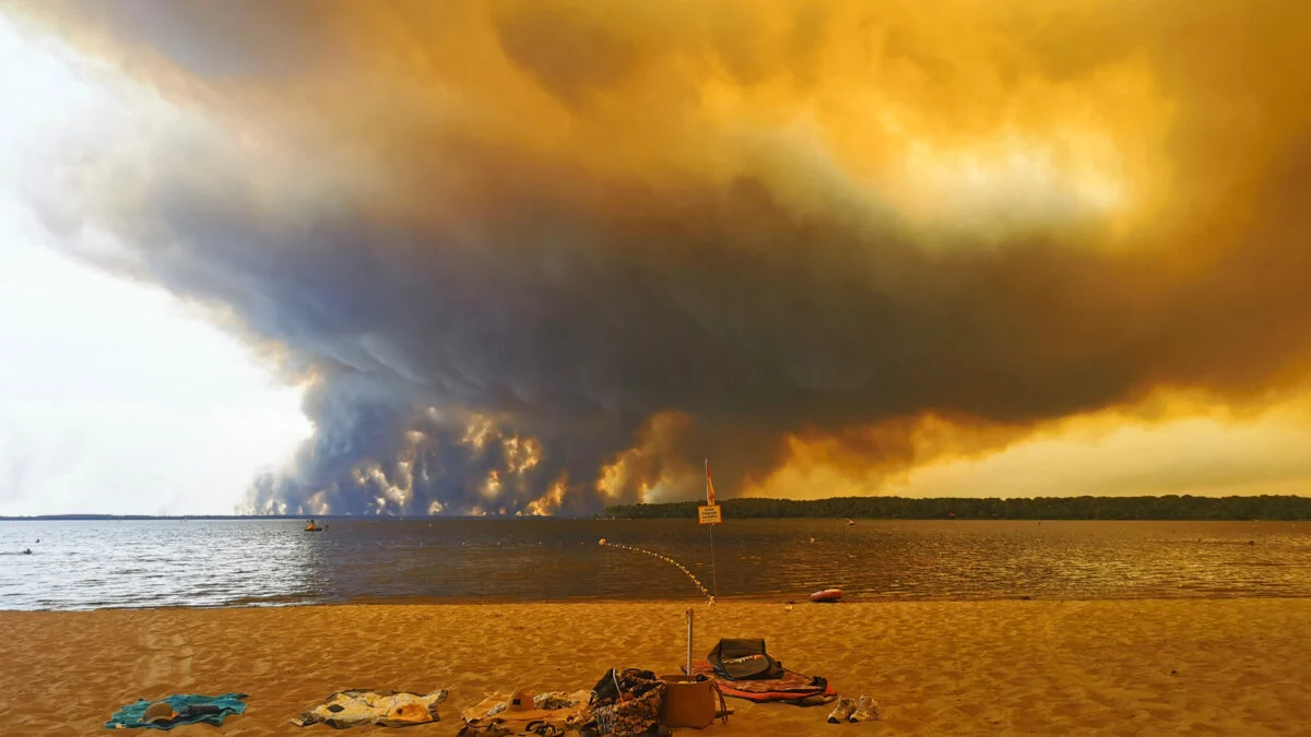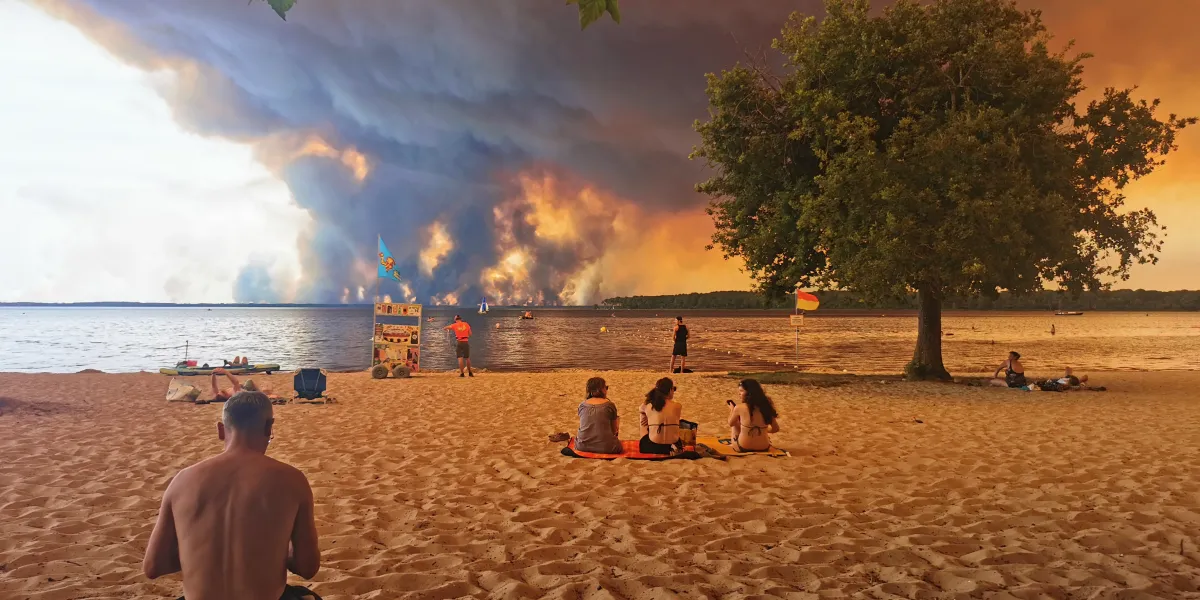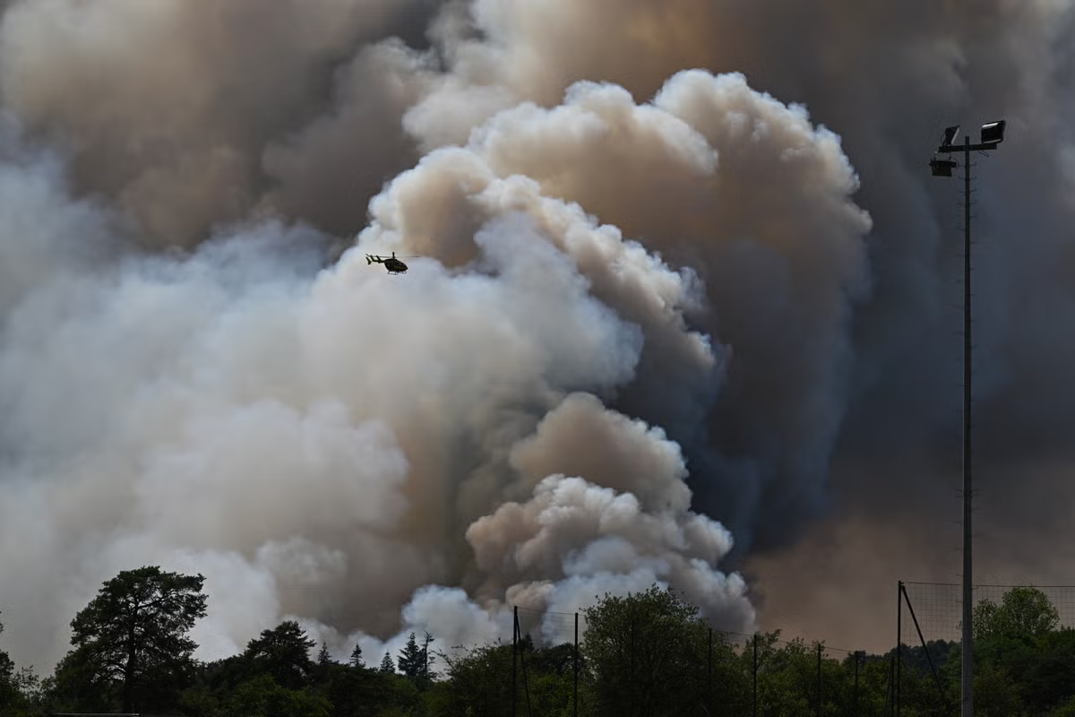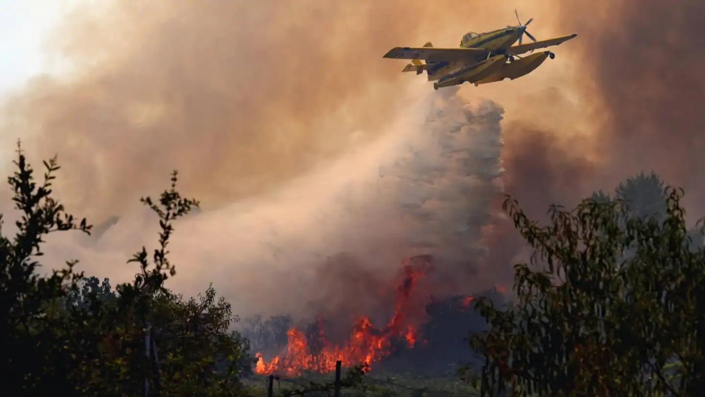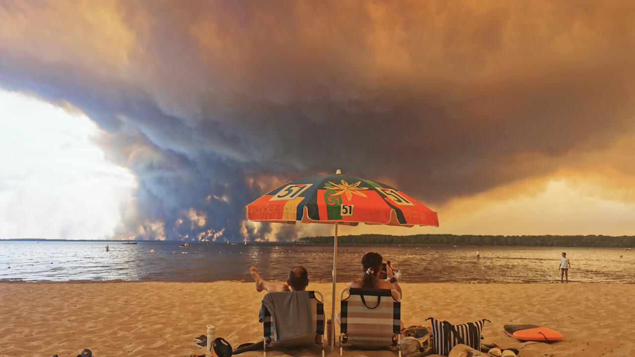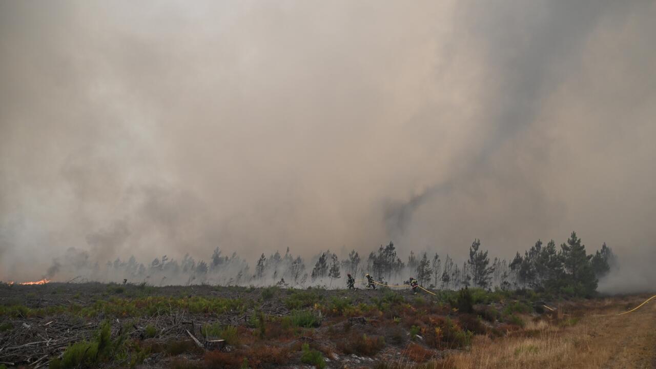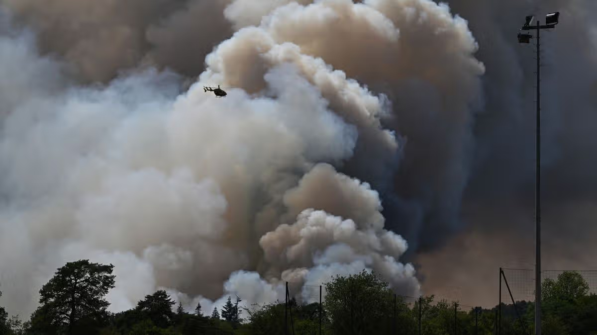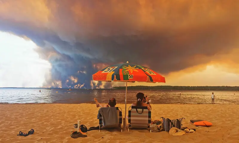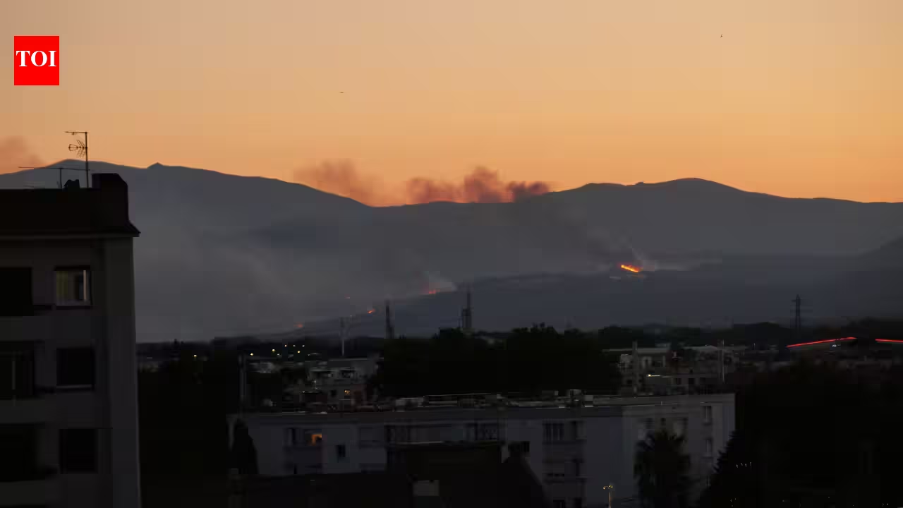
Trévillach fire on 5 July 2026 | Wikimedia CommonsA wildfire can already devastate forests, homes and entire communities. But some of France’s biggest blazes are now becoming something even more dangerous: they are creating their own thunderstorms. Known as pyrocumulonimbus clouds, these towering “fire clouds” can generate lightning, produce violent winds, scatter burning embers far ahead of the flames and even create fire tornadoes, turning one wildfire into several. Scientists say the phenomenon has traditionally been associated with catastrophic fires in Australia and North America, but recent events suggest it is becoming an emerging threat in Europe as wildfires grow larger and more intense. According to New Scientist, France recently recorded its first radar-observed pyrocumulonimbus during the Gironde wildfire. Trévillach fire on 5 July 2026 | Wikimedia CommonsWhen a wildfire starts making its own weatherThe massive Gironde wildfire in southwestern France demonstrated just how dangerous these fire-generated storms can become. The blaze burned more than 420 square kilometres, came within about 15 kilometres of Bordeaux and forced roughly 220,000 people to evacuate, as per AP News. Regional officials reported that pyrocumulonimbus clouds formed on consecutive days above the fire, while lightning and wind-driven embers ignited fresh blazes beyond the original fire front. Large wildfires across southern Europe have become increasingly severe during prolonged periods of extreme heat and drought.Scientists explain that these clouds only develop when an exceptionally intense wildfire meets an unstable atmosphere. Flames can heat the surrounding air to temperatures approaching 800°C, sending huge columns of smoke, ash and hot air high into the sky. As that plume rises, moisture condenses around ash particles to form a pyrocumulus cloud. If atmospheric conditions remain unstable, the cloud can continue climbing to around 10,000 metres (roughly the cruising altitude of a commercial aircraft) before developing into a fully fledged thunderstorm capable of producing lightning.Why these storms make wildfires far more dangerousUnlike ordinary thunderstorms, pyrocumulonimbus clouds are fuelled by the wildfire beneath them. The powerful updraft pulls fresh air into the flames, intensifying combustion, while turbulent downdrafts scatter burning embers over long distances. According to Jean-Baptiste Filippi, a CNRS wildfire researcher at the University of Corsica, pyrocumulonimbus storms generate powerful convection that can create winds three to four times stronger than normal fire conditions and loft burning debris hundreds of metres, making fires highly unpredictable. Lightning produced within the cloud can ignite entirely new fires well ahead of the main blaze, creating a dangerous feedback loop in which stronger fires produce stronger storms, which in turn spread the fire even further. According to New Scientist’s reporting based on interviews with wildfire researchers, this combination of lightning, violent winds, and flying embers makes pyrocumulonimbus-driven fires exceptionally difficult to control. These storms can also produce erratic surface winds that shift a fire’s direction without warning, making evacuations and firefighting operations much harder to coordinate. Firefighters in Gironde described the rapidly changing conditions as unlike anything they had previously encountered.A three-image progression of a Pyrocumulonimbus cloud, caused by backburning, forming over the Blue Mountains and viewed from Hazelbrook, New South Wales | Wikimedia CommonsA warning for Europe’s warming futurePyrocumulonimbus clouds have previously been linked to some of the world’s most destructive wildfires, including Australia’s Black Saturday bushfires in 2009, the Fort McMurray wildfire in Canada in 2016 and Canada’s record-breaking 2023 fire season. Europe, by comparison, has recorded relatively few confirmed cases, although Portugal’s deadly Pedrógão Grande fire in 2017 also produced one of these fire-generated storms. Researchers now believe that this may change as Europe experiences hotter summers, more frequent heatwaves and larger wildfires.Scientists say the continent’s changing climate is creating conditions that favour both extreme fires and the unstable atmosphere needed to generate pyrocumulonimbus clouds, and wet seasons that encourage vegetation growth, followed by prolonged drought and intense heat, can leave landscapes packed with dry fuel ready to burn. For wildfire experts, the concern extends beyond individual fires. Once a blaze becomes powerful enough to generate its own weather, traditional firefighting tactics become far less effective. Rather than simply burning across the landscape, the fire begins driving the very atmospheric conditions that allow it to grow, making it one of the most dangerous forms of wildfire behaviour scientists know.
France’s wildfires are now creating their own thunderstorms, unleashing lightning, violent winds, and raining burning embers that can ignite new blazes
A wildfire can already devastate forests, homes and entire communities. But some of France’s biggest blazes are now becoming something even more dangerous: they are creating their own thunderstorms.
697 words~3 min read