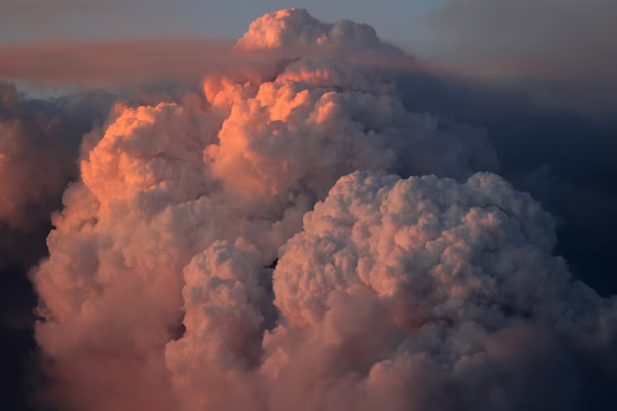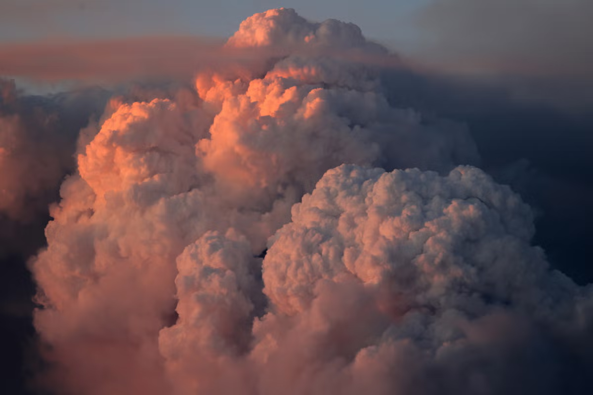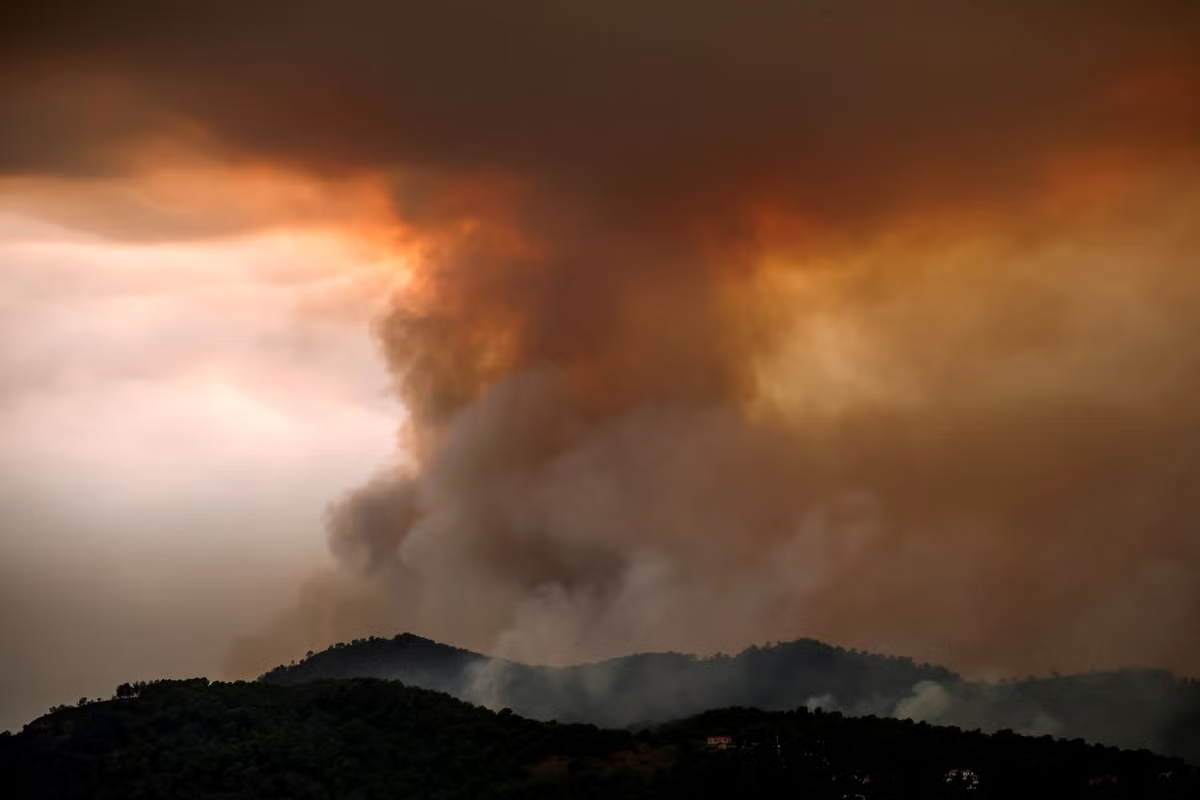
Known as "fire clouds" or pyrocumulonimbus clouds, these ominous-looking thunderstorms are created by extreme wildfires and can exacerbate already extremely dangerous conditions.This phenomenon, which is new to France, is yet another consequence of human-caused climate change, according to French researcher Jean-Baptiste Filippi, who studies wildfires.As firefighters in southwest France struggle to bring a forest inferno under control before yet another heatwave descends on the country, Filippi told AFP about the phenomenon.What is a fire cloud?It starts off as a cute little white cloud -- a cumulus cloud, which is formed because water vapour has turned into tiny droplets.
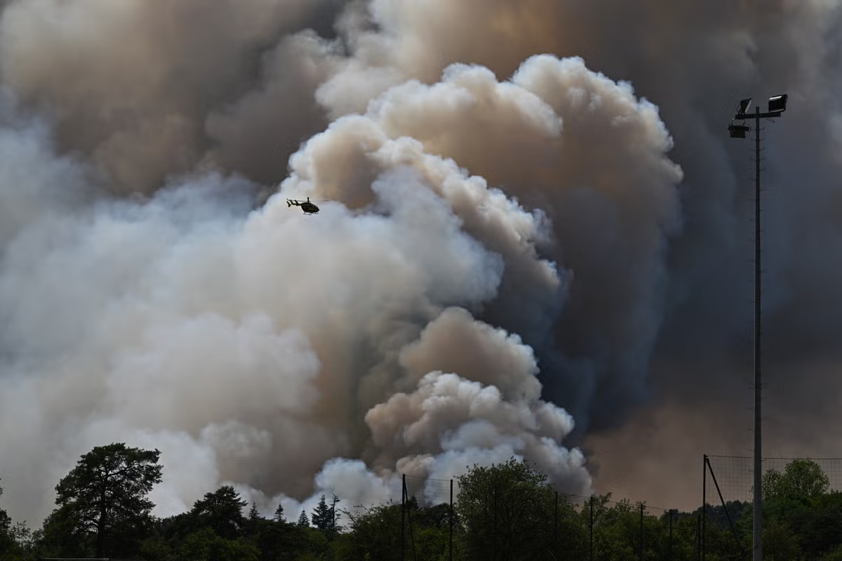
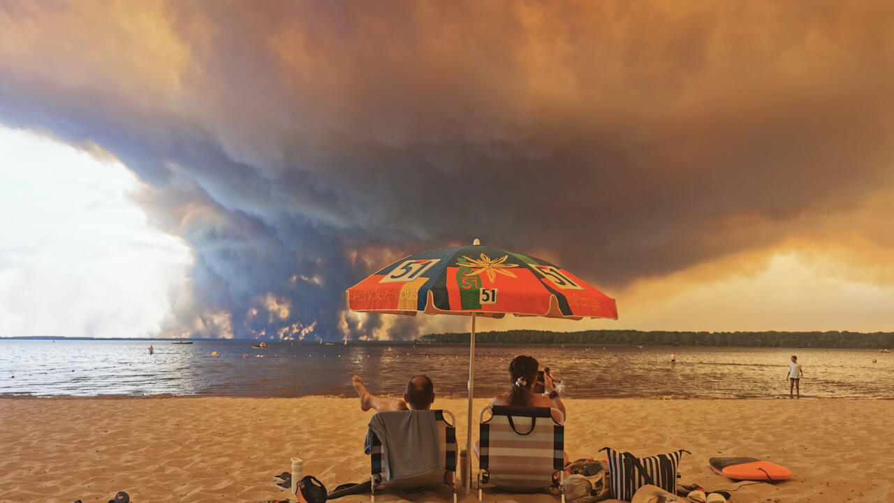
"Fire clouds" or pyrocumulonimbus clouds are born from the flames -- and can spread blazes even further © ROMAIN PERROCHEAU / AFP/File
As the Sun heats the ground, the water vapour suddenly condenses. The cumulus becomes a much larger cloud, containing thousands of tonnes of suspended water. Then, when the surrounding air has become heated enough, it forms a column with an anvil-shaped cloud -- the cumulonimbus.This condenses even more air and generates more energy, with updrafts of more than 150 kilometres (90 miles) an hour.It then rains, but the rain evaporates before it reaches the ground.But it still cools the atmosphere where it falls, creating strong downdrafts.- Are fire clouds rare? - It is a common phenomenon in Portugal, California and Australia, where firefighters are more used to them. In Portugal, they had been rare until the deadly 2017 fires in Pedrogao Grande changed things.