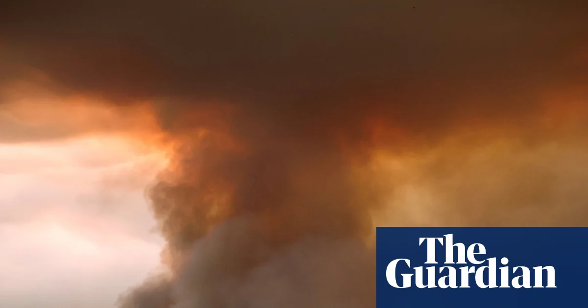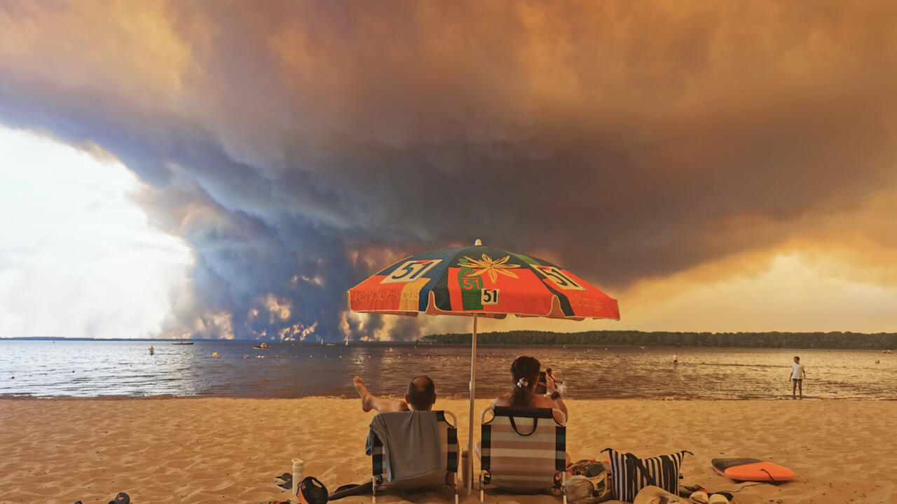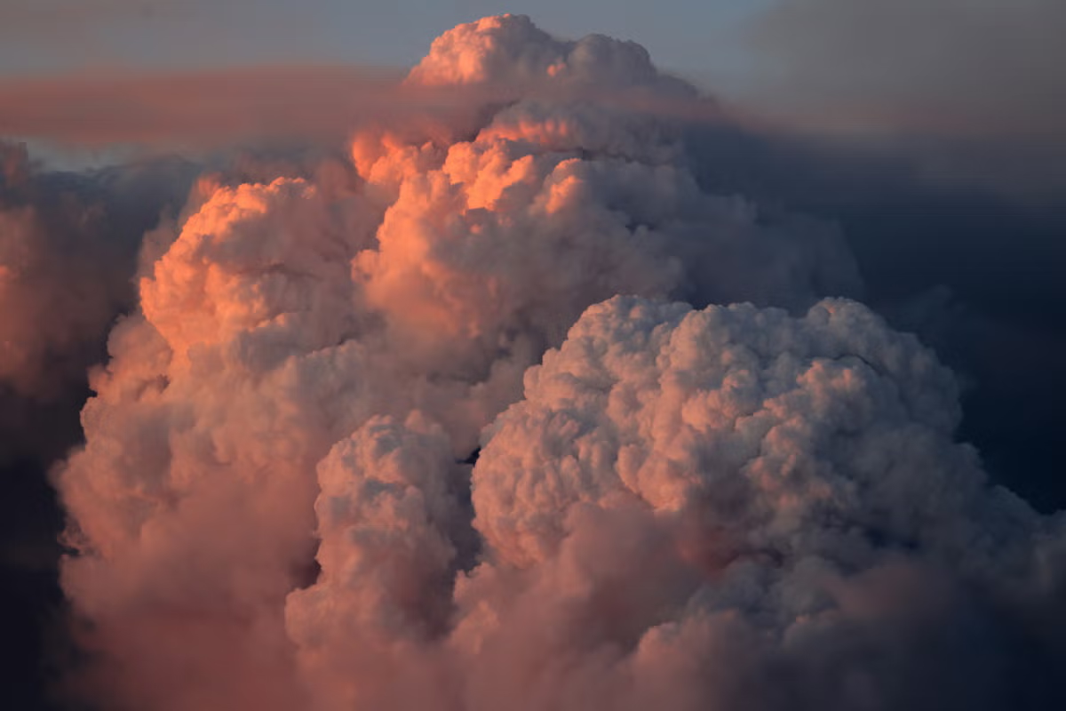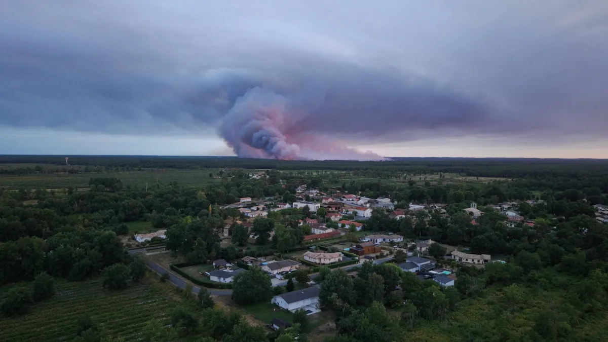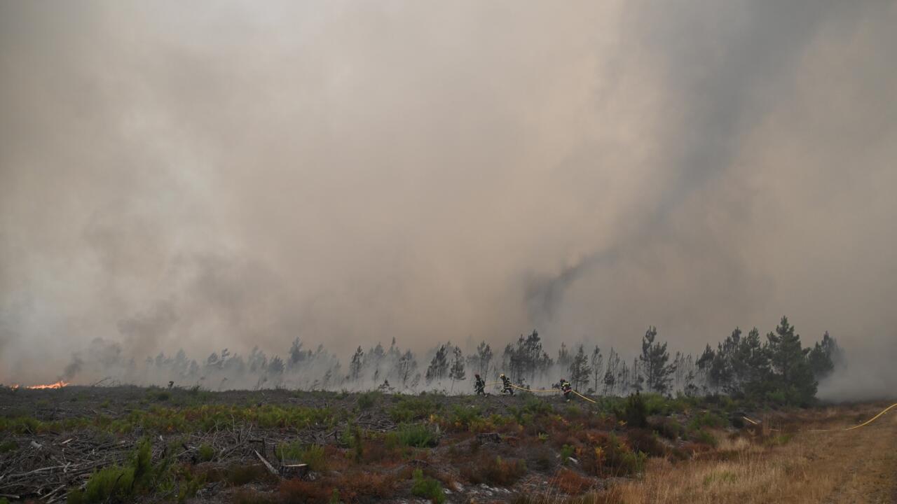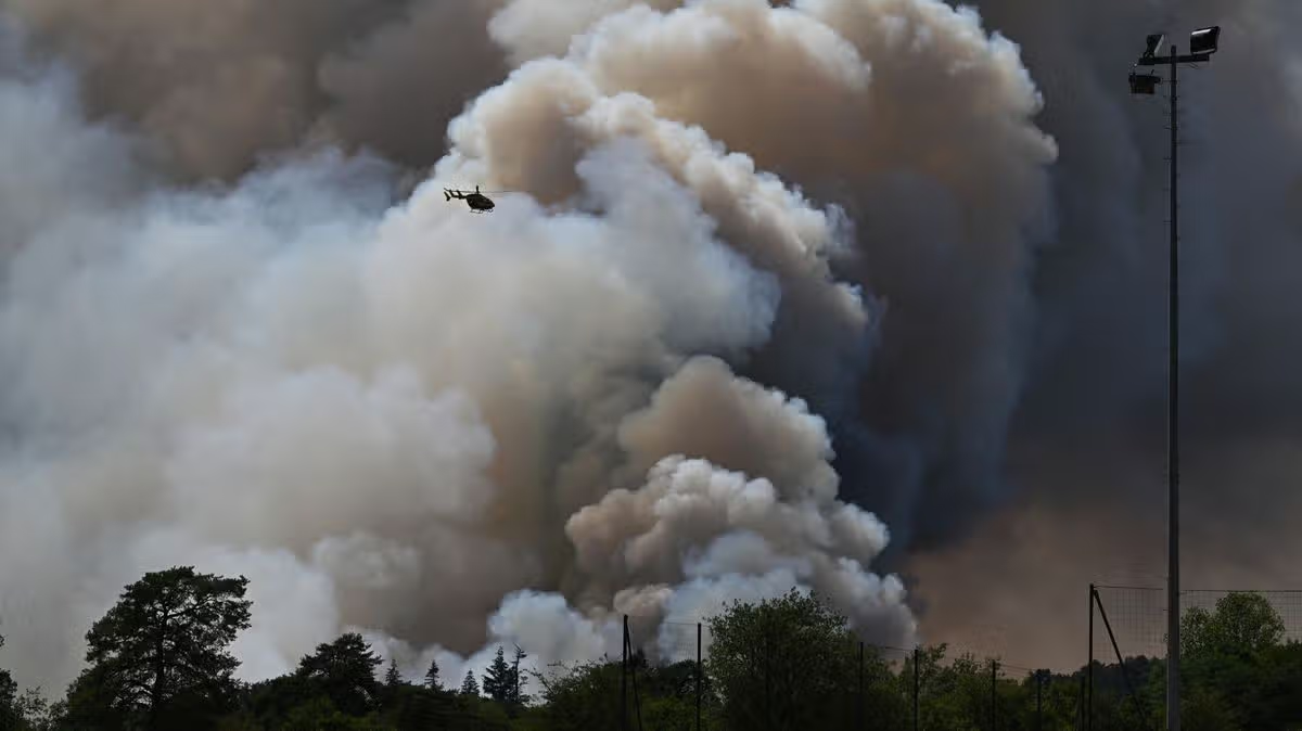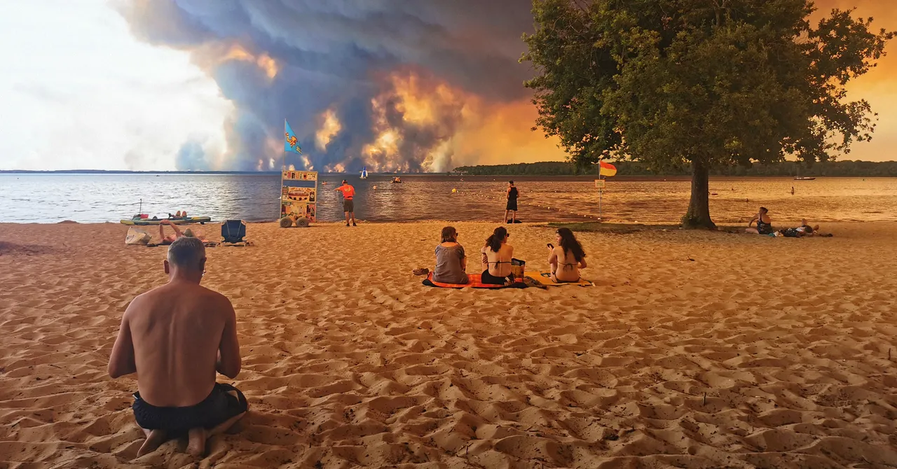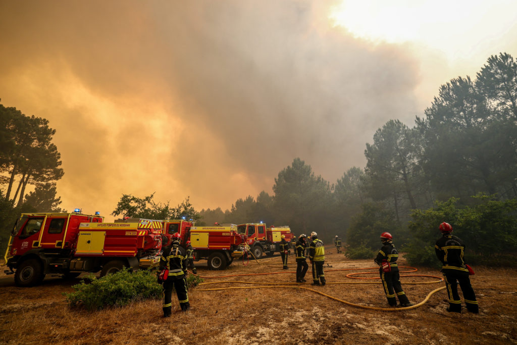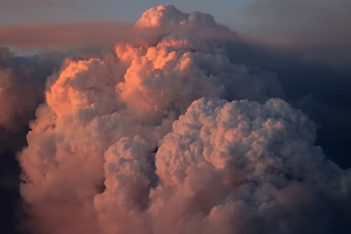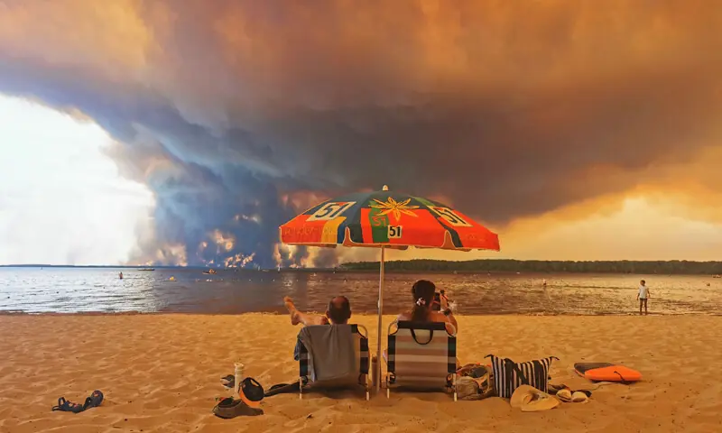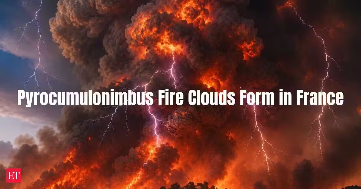
Picture a wildfire so ferocious it stops behaving like a fire and starts behaving like weather. That's roughly what happened over southwest France recently, as flames tearing through tens of thousands of hectares of dry brush pushed a column of smoke and heat so high into the atmosphere that it curdled into a towering, anvil-shaped storm cloud, the kind you'd normally expect on a muggy summer afternoon, not rising out of a fire zone. The phenomena is not just smoke, but an actual thunderstorm, born entirely out of the fire itself. Meteorologists call it a pyrocumulonimbus. Most people are calling it what it looks like: a fire cloud. It's a rare enough sight that its appearance over the France-Spain fire zone has drawn attention well beyond weather circles. Rare, but not unheard of, and increasingly, scientists say, not something to dismiss as a curiosity.Pyrocumulonimbus: What exactly is a fire cloud? Strip away the technical name and the idea is fairly simple: it's a thunderstorm that a wildfire builds for itself, instead of one built by the sun heating the ground the way storms normally form. The fire supplies the heat. The fire supplies the moisture, in the form of water vapour cooked out of vegetation and released as smoke. And if that combination is powerful enough, the sky above the flames turns into something that behaves exactly like a summer storm cell, capable of its own wind, its own hail, and critically, its own lightning. That last part is why this week's fires have people worried. A blaze that sparks a storm capable of striking the ground with lightning kilometres from the original fire line isn't just spreading through wind and embers anymore. It's spreading through weather it created.How does a wildfire actually build a storm? The process is less like combustion and more like a chimney effect, scaled up to a terrifying degree.You Might Also Like: An intense enough fire, and both France and Spain have had the ingredients for one, with prolonged heatwaves, tinder-dry vegetation and gusty winds all present at once, heats the air right above it to extreme temperatures. That air doesn't stay put. It shoots upward rapidly, carrying ash and moisture with it, much like heat escaping through a chimney flue. As the rising column climbs, it runs into progressively colder air. The moisture riding along with it condenses into a cloud, at first just a smoky, swelling puff known as a pyrocumulus. If the updraft holds its strength and keeps pushing higher, the cloud keeps growing, eventually reaching altitudes cold enough for ice crystals to form inside it. That's the moment everything changes. Ice inside the cloud generates an electrical charge, the same basic mechanism that powers an ordinary thunderstorm. Once that charge builds, the cloud stops being a smoke plume and becomes a genuine pyrocumulonimbus, capable of firing lightning down at the ground below. Scientists also refer to this formation by a more technical name, cumulonimbus flammagenitus, which essentially translates to "cloud generated by fire."Why Pyrocumulonimbus is considered so dangerous A fire cloud creates three separate hazards, and all three feed back into the wildfire that produced it. The first is wind. Once a pyroCb forms, it starts generating its own gusts and downdrafts, and those can shift violently and without warning. A fire crew that has spent hours predicting where a blaze will move next can find that prediction useless within minutes, as the storm's own winds send flames somewhere entirely different. The second is lightning. Strikes from a pyrocumulonimbus can land kilometres away from the fire that created the cloud, igniting fresh blazes in places that had no warning a threat was coming. In a landscape as dry as much of France and Spain has been this summer, that's close to a worst-case scenario, one fire effectively seeding several more. The third is the broader package of severe weather these storms can unleash: hail, intense turbulence, punishing downdrafts, and in rare instances, tornado-like vortices. It's an unusual, and dangerous, mix of fire behaviour and storm behaviour occurring in the same place, at the same time, each one making the other harder to predict.Have scientists seen this before? Yes, though documented cases remain uncommon. One of the most detailed looks came in August 2019, when NASA and NOAA researchers flew a DC-8 aircraft directly into a forming pyrocumulonimbus above a wildfire burning in eastern Washington state, as part of a mission called FIREX-AQ. The aim was to study exactly how wildfire smoke behaves once airborne, and what it does to air quality and weather downstream. That research pointed to something bigger than any single fire. NASA scientists describe the largest of these storms as giant atmospheric chimneys, capable of injecting smoke all the way into the lower stratosphere. Ordinary ground-level smoke tends to wash out of the atmosphere within days. Smoke that reaches the stratosphere behaves completely differently, it can linger for months or even years, drifting across entire continents, with the largest events pushing up volumes of smoke comparable to what a moderate volcanic eruption releases.
Pyrocumulonimbus: France-Spain wildfires are creating rare 'fire clouds' that spark their own lightning
Pyrocumulonimbus Cloud Formation: Fierce wildfires in southwest France generated towering storm clouds, a phenomenon called pyrocumulonimbus. These fire clouds gain energy from burning material, unlike normal thunderstorms. They create unpredictable winds and lightning, posing new dangers for firefighters. Such storms can inject smoke high into the atmosphere, affecting global air quality. Climate change is increasing the frequency of these extreme fire-generated weather events.
845 words~4 min read