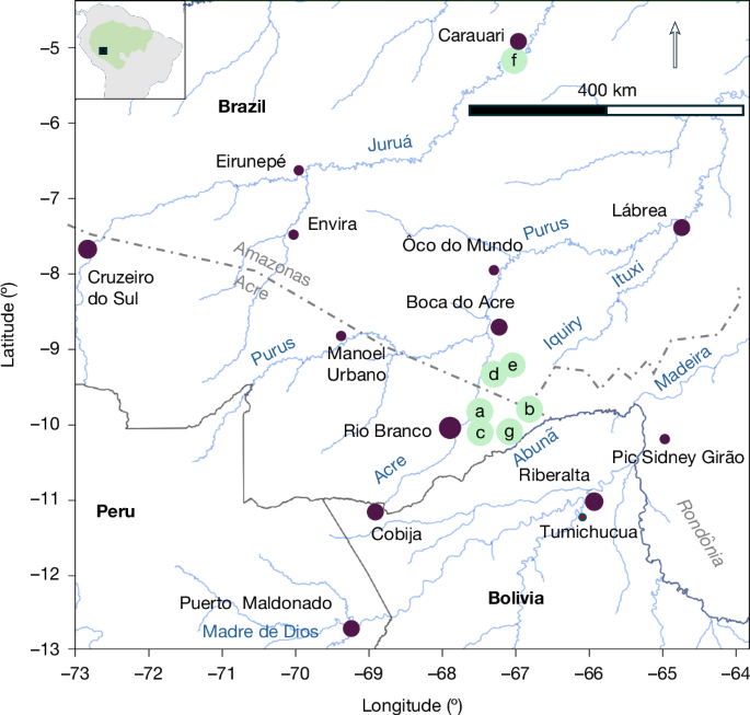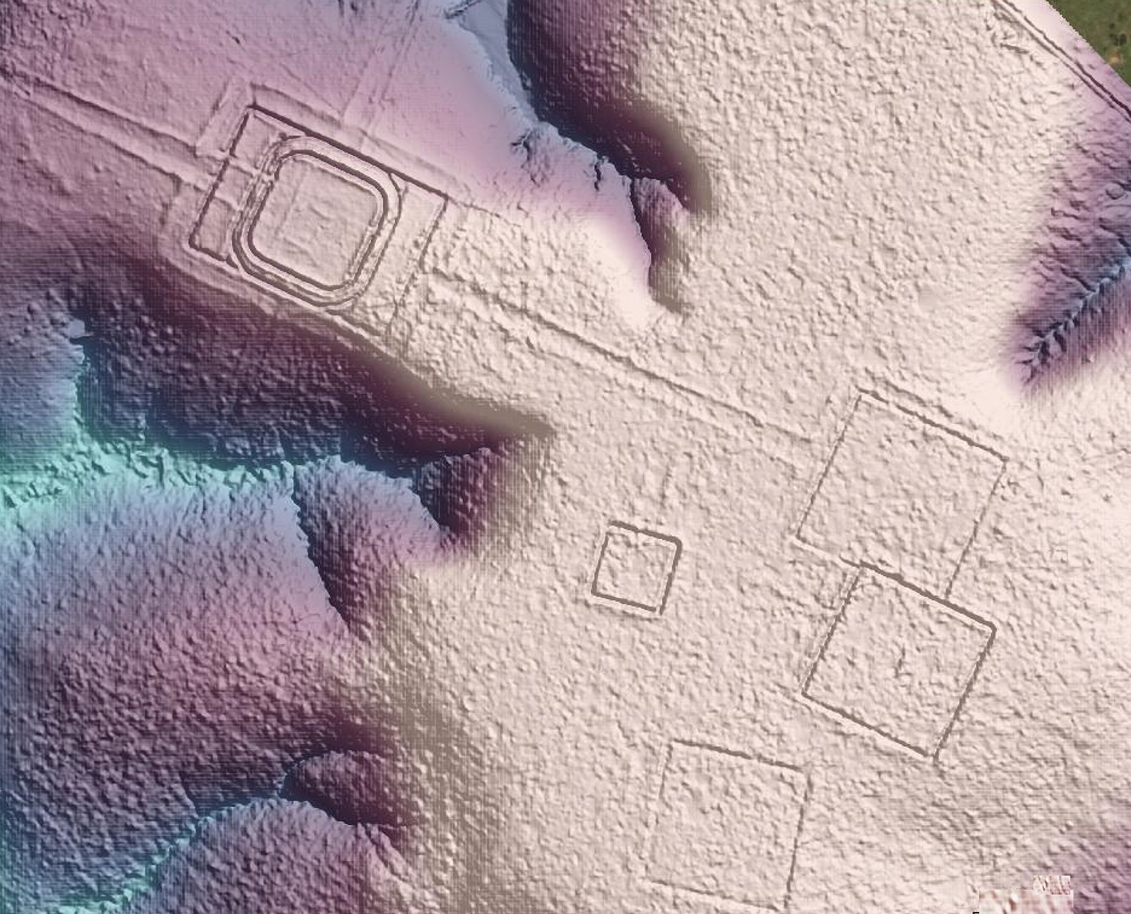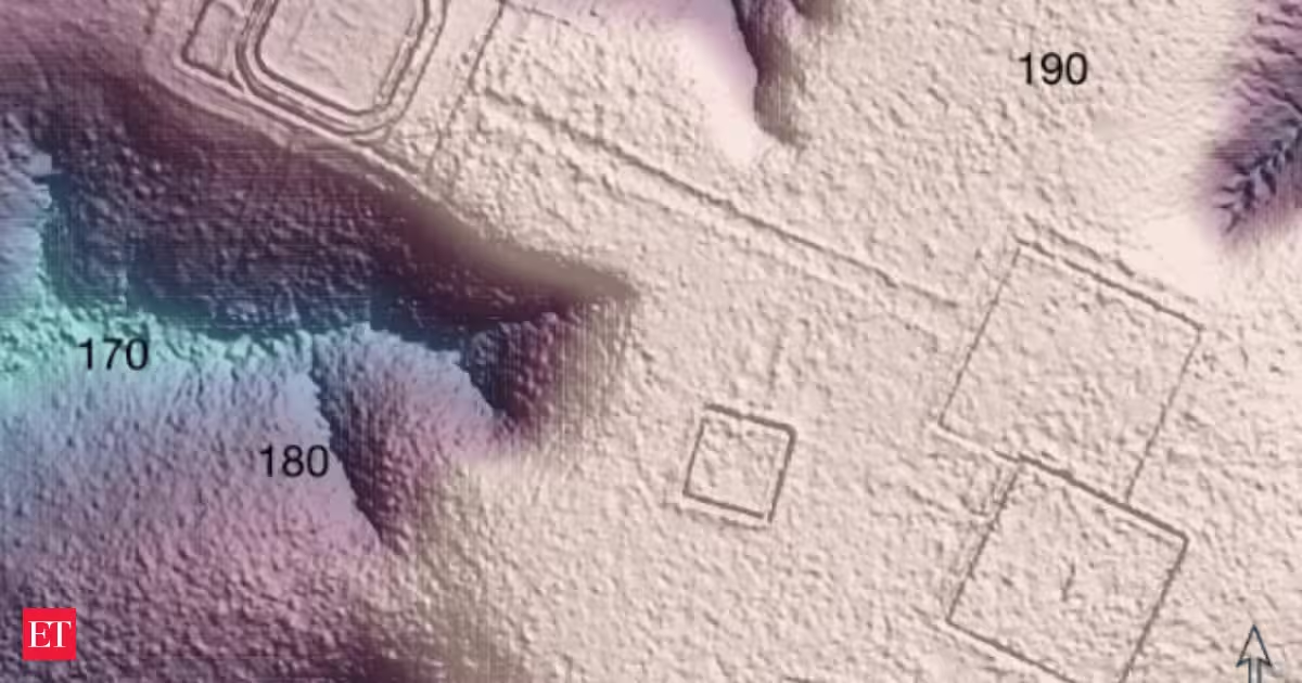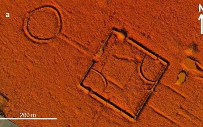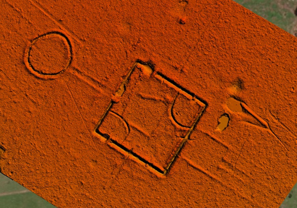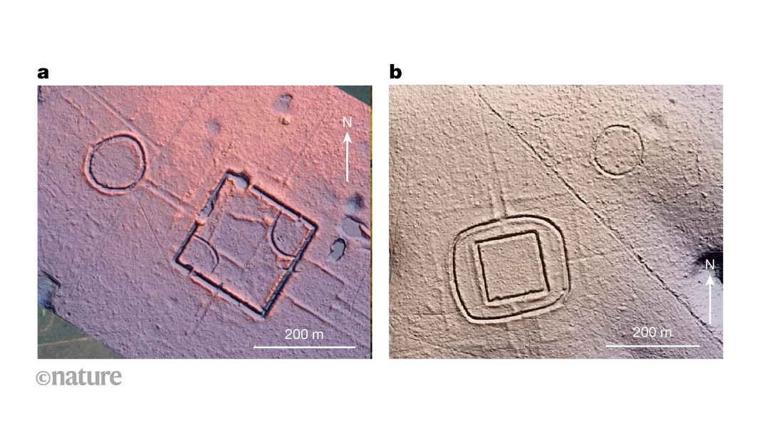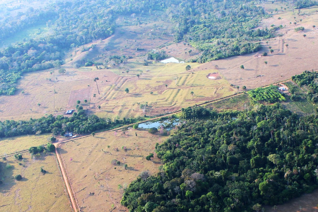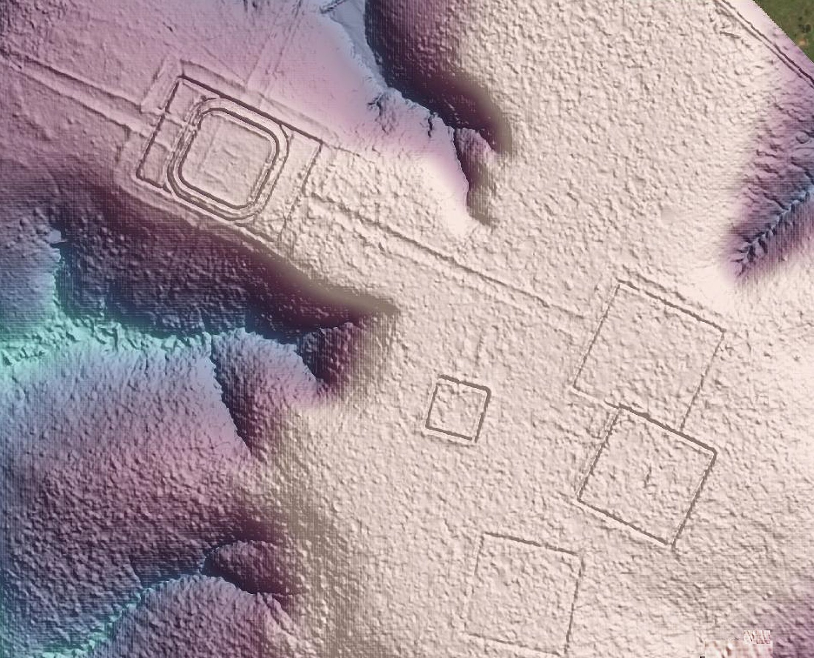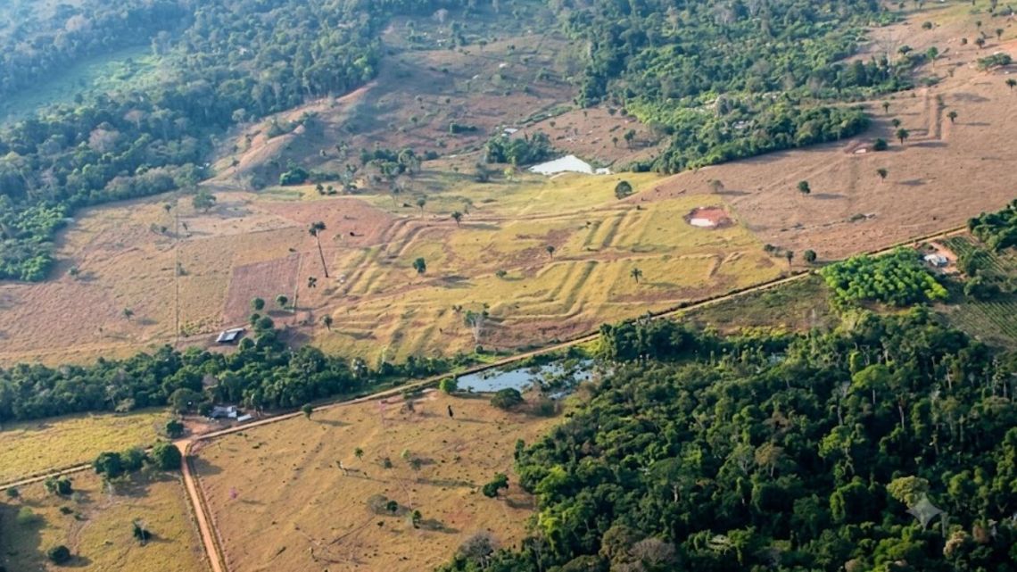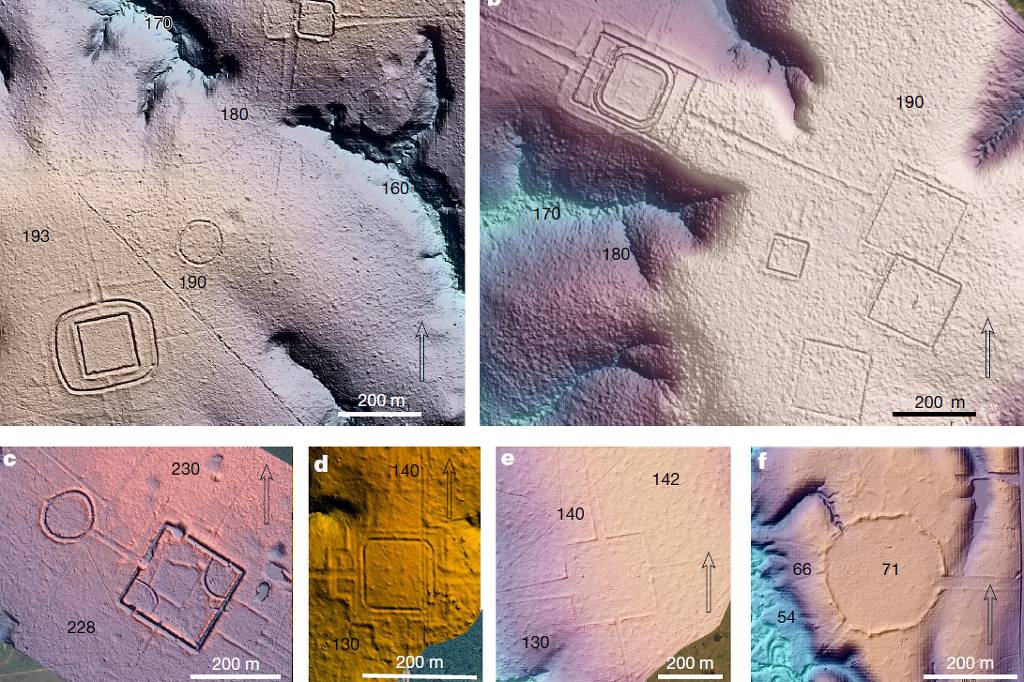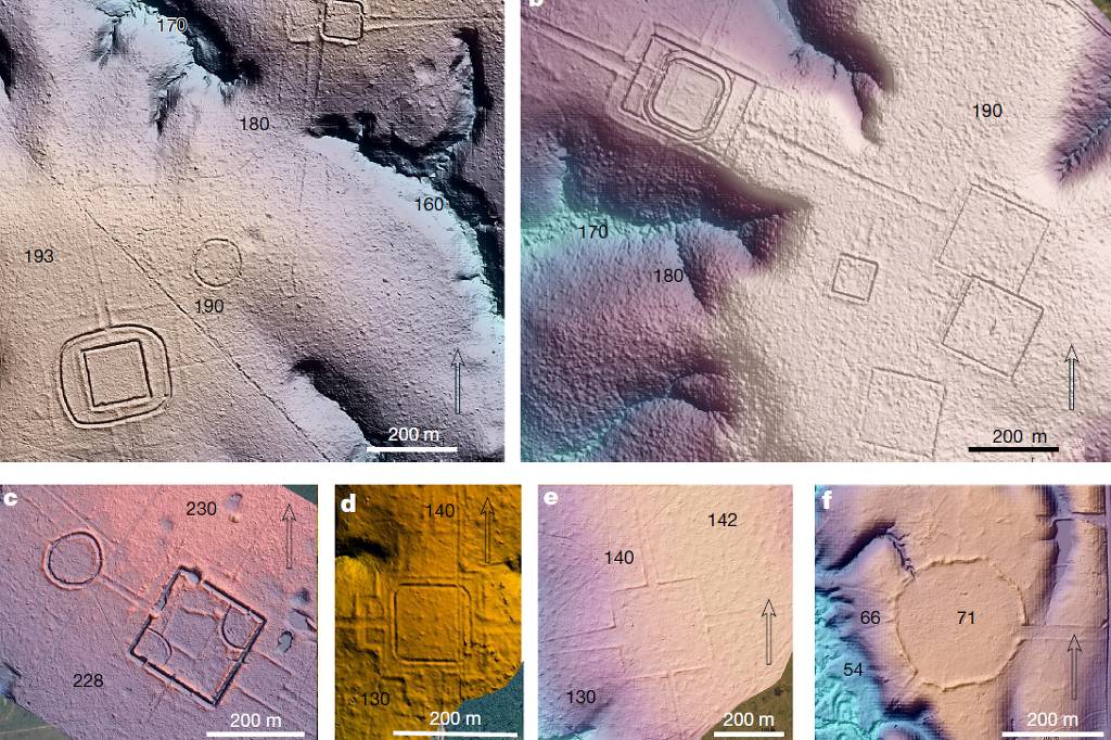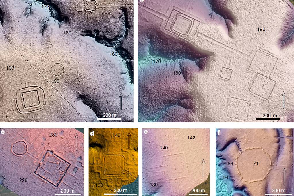
New laser-mapping techniques suggest that Acre and neighboring areas of the Amazon may contain around 20,000 pre-Columbian monuments—far more than the nearly 1,300 already identified by Brazilian and Finnish archaeologists. The estimate appears in a study published on Wednesday (July 29) in the scientific journal Nature and refers mainly to geoglyphs, large geometric earthworks outlined by ditches up to 5 meters (16 feet) deep and 13 meters (43 feet) wide, enclosing areas of up to 50 hectares (124 acres).The study was led by Martti Pärssinen of the University of Helsinki, together with Brazilian researchers including Alceu Ranzi of the Federal University of Acre and Rhuan Carlos Lopes of the Federal University of Pará. The team used Lidar technology, which fires laser pulses from drones or aircraft to map variations in the ground surface, even beneath dense vegetation. Flights covering 4,500 square kilometers (1,737 square miles) in Acre and Amazonas identified nearly 400 new geoglyphs—roughly one new discovery for every five previously known using conventional methods.
If the estimate is confirmed, the pre-colonial Indigenous population needed to build these structures would have ranged from 1.25 million to 3 million people, compared with Acre's current population of about 830,000. The researchers propose calling the builders the Aquiry civilization, using a name of Apurinã origin. Excavations indicate construction began before 500 BC, peaked between AD 100 and 300 and, because there is no evidence of permanent settlements, the structures were likely ceremonial sites supported by agriculture based on maize, cassava and native fruit trees. The reasons for the decline of this tradition remain unclear.