Audio By Vocalize
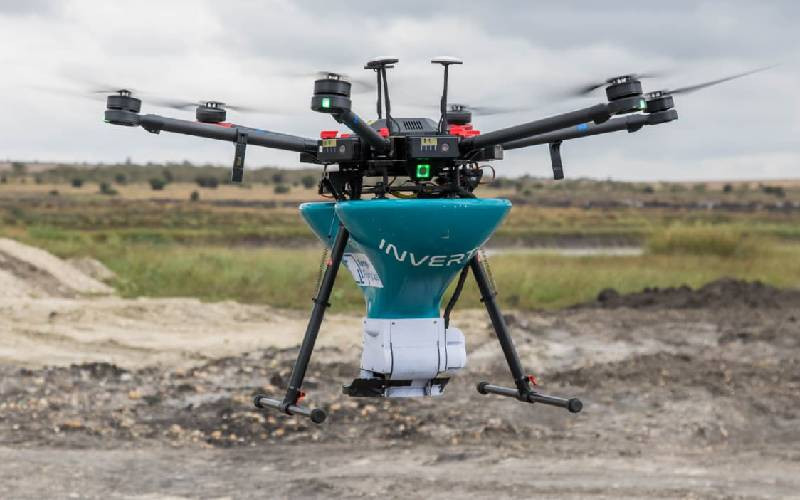
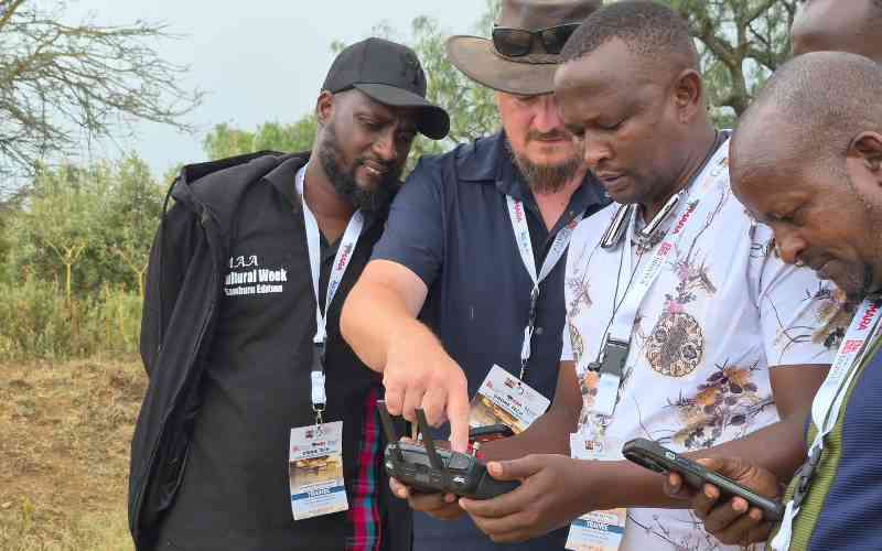
Scientists are taken through drone usage during a workshop in WRTI Naivasha. [Antony Gitonga, Standard]
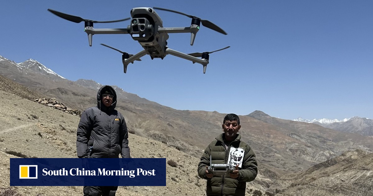
Wildlife census and mapping are expected to become more precise and easier as scientists adopt drone technology, moving away from the traditional manual method that has faced numerous challenges over the years.
The new technology is anticipated to enhance data collection, access difficult and dangerous terrains, and deliver high-quality images and videos for analysis and future use.
This development comes a few months after the Wildlife Research and Training Institute (WRTI), with support from other organisations, carried out the national wildlife census.