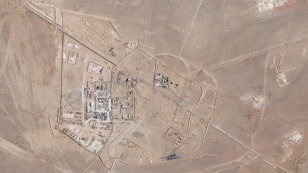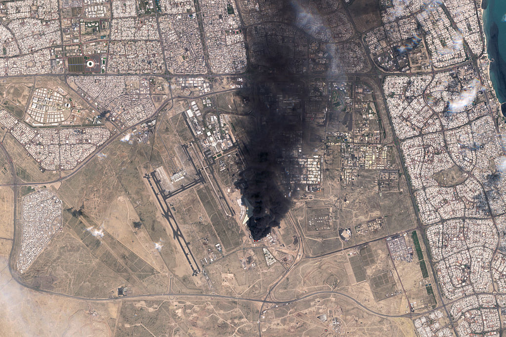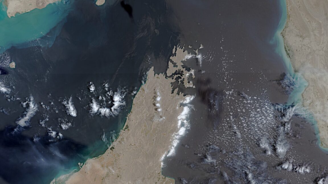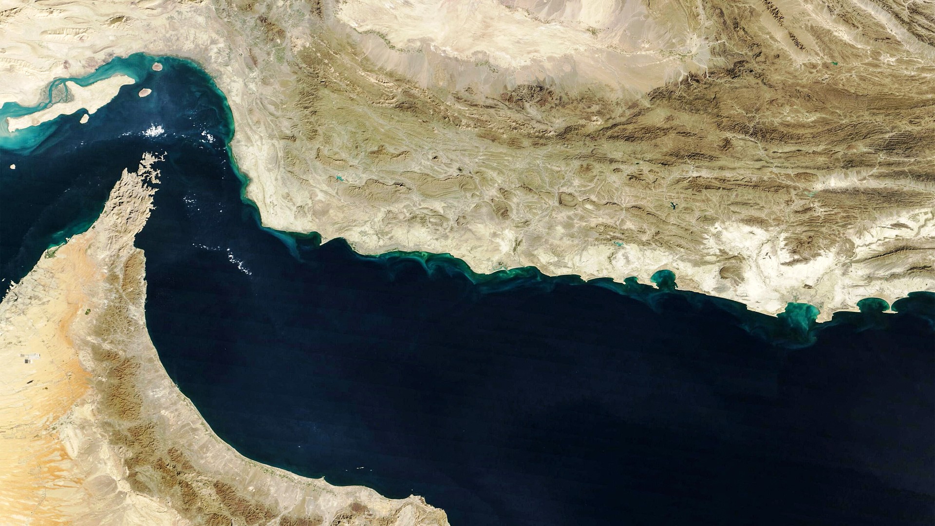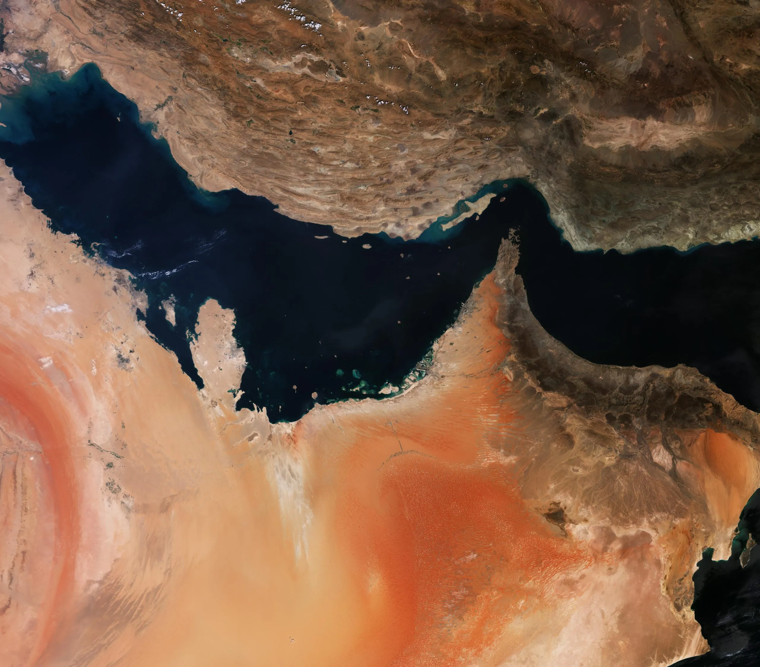
The Gulf of Oman, imaged in September 2018 by the Copernicus Sentinel-3A satellite. Credit: ESA; CC BY-SA 3.0 IGO
JOHANNESBURG — The European Union has ordered a 24-hour delay in the release of some Sentinel-1 and Sentinel-2 imagery following a request from the United States based on concerns that the Earth observation satellites’ output could pose a security risk.
A new Council of the EU decision requires the European Commission to apply the delay to a “specific geographical area forming part of the Gulf of Oman.” An annex to the decision defines that area using five sets of latitude and longitude coordinates that encompass shipping routes leading to and from the Strait of Hormuz, a region relevant to the U.S.’s war against Iran.
As of publication, the decision had not yet appeared in the EU’s Official Journal.
SpaceNews reviewed a copy of the decision, dated July 13 and signed by Council President Kaja Kallas. Its existence and adoption were also confirmed in a July 20 Council of the EU document.