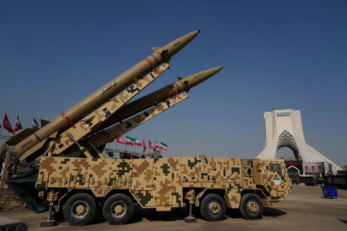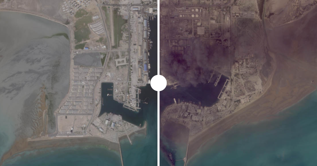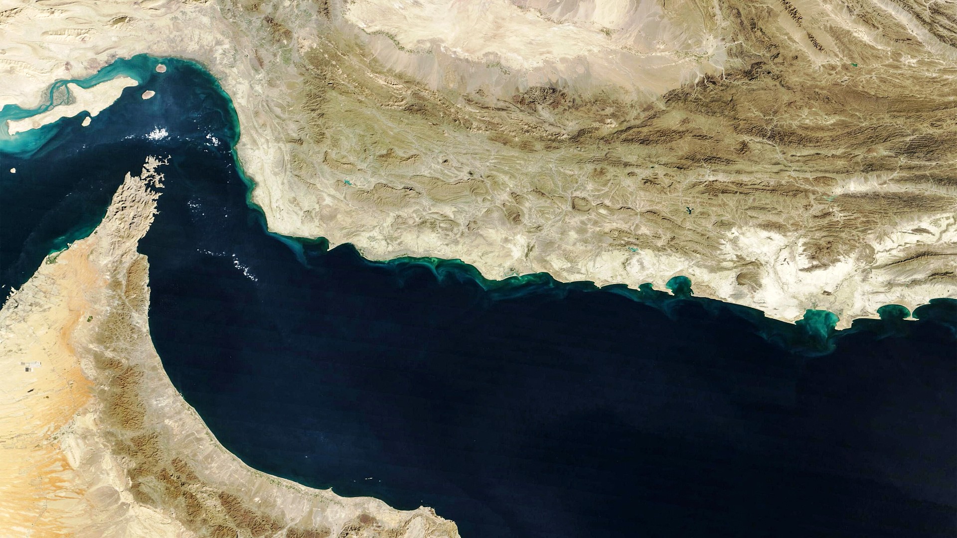
As the US and Israel launched joint strikes on Iran on 28 February and Tehran retaliated on targets across the Gulf, a quieter contest was taking shape over who could access satellite imagery of the war.
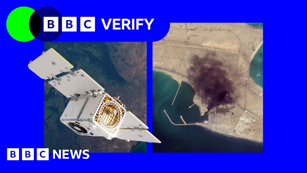
One week after the initial strikes, US firm Planet Labs, the leading satellite imagery provider, announced it would release Gulf imagery with a four-day delay.
Within days, the delay had been extended to 14 days and expanded to most of the Middle East. By early April, following a request from the US government, Planet Labs had made the restriction on high-quality imagery of the region indefinite.
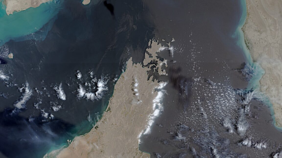
The most recent commercially available images of the Gulf now date from 9 March. Planet Labs said the decision was made in consultation with the government and external experts.
But many open-source journalists and analysts are worried this is beginning to resemble censorship.