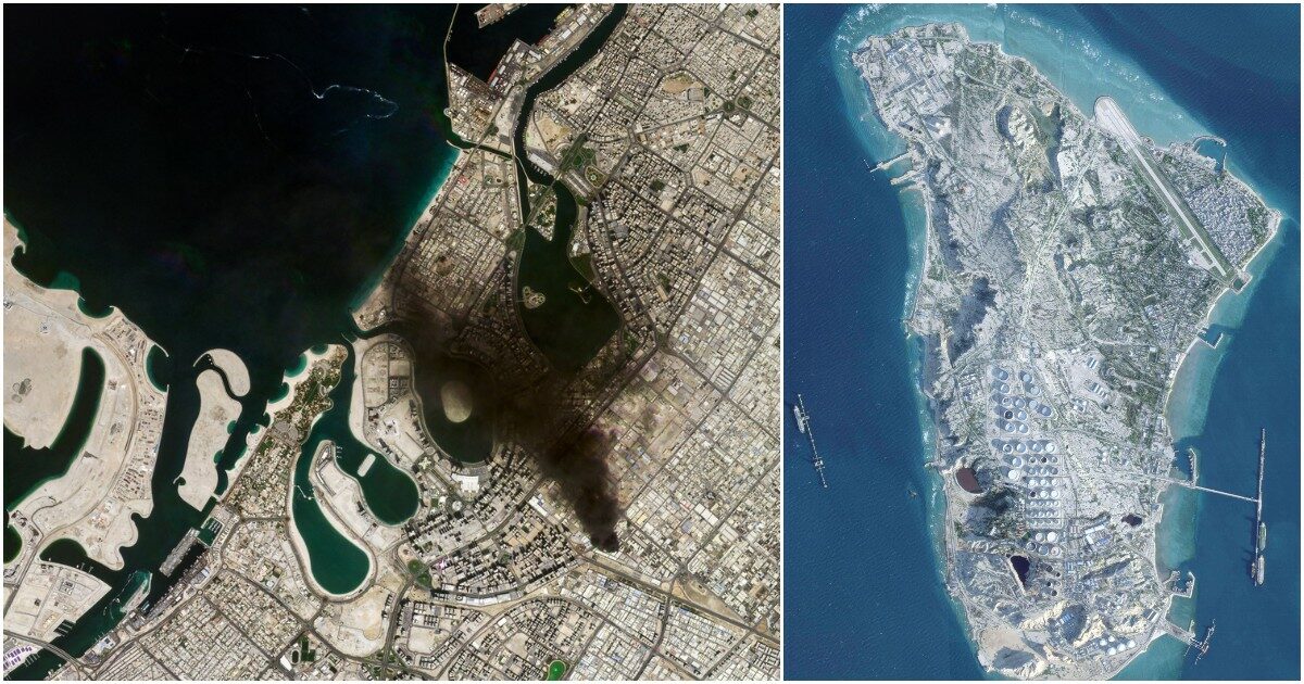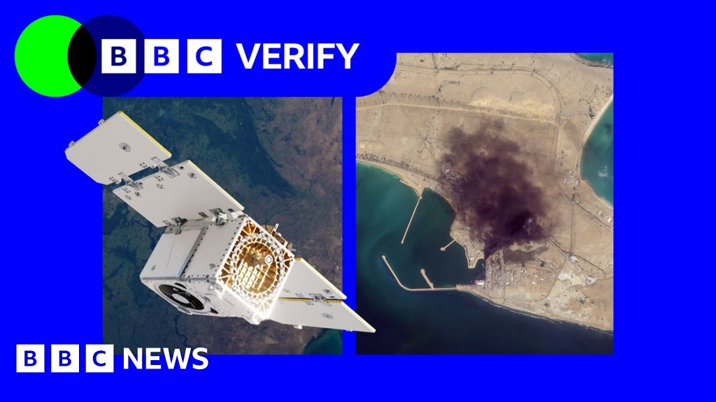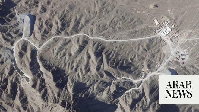
PARIS: US satellite imagery company Planet Labs said Saturday it will stop publishing high-resolution aerial pictures of the area involved in the Middle East war, following a request from President Donald Trump’s government.
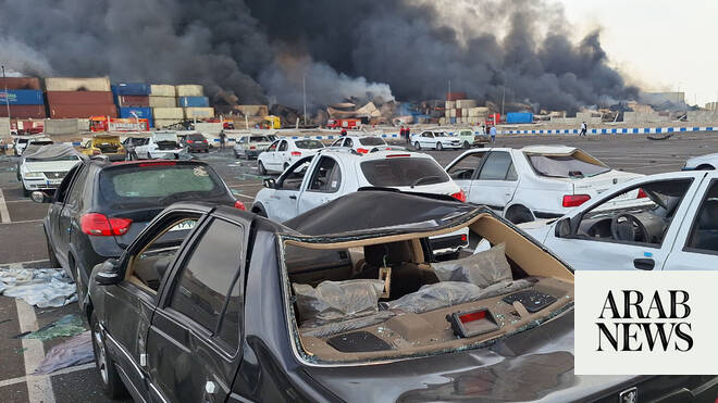
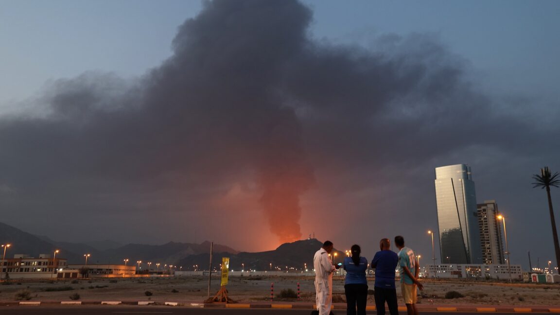
The United States and Israel have conducted joint strikes against Iran since late February, prompting the Islamic Republic to retaliate with daily missile barrages targeting Israel and several neighboring countries across the region.
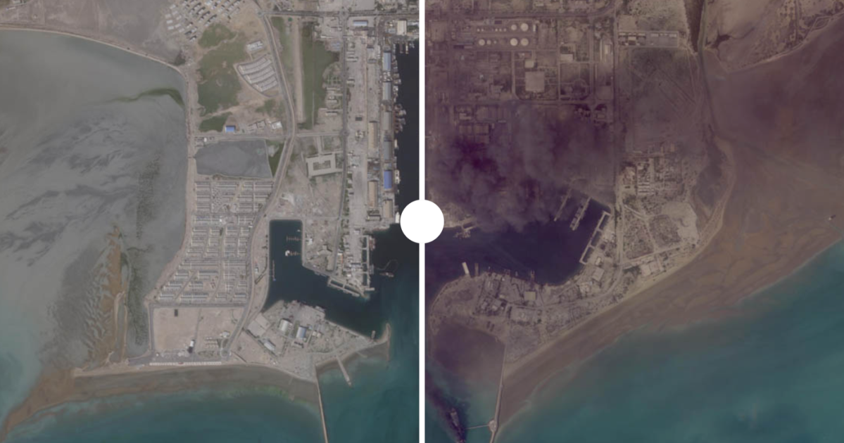
Planet said the US government had asked satellite imagery providers to implement an “indefinite withhold of imagery.”
“Effective retroactively from March 9, 2026, Planet is moving to a managed access model, extending the publication delay for all new imagery within the designated AOI (area of interest), and releasing imagery on a case-by-case basis and for urgent, mission-critical requirements or in the public interest,” the company said in a message to clients received by AFP.
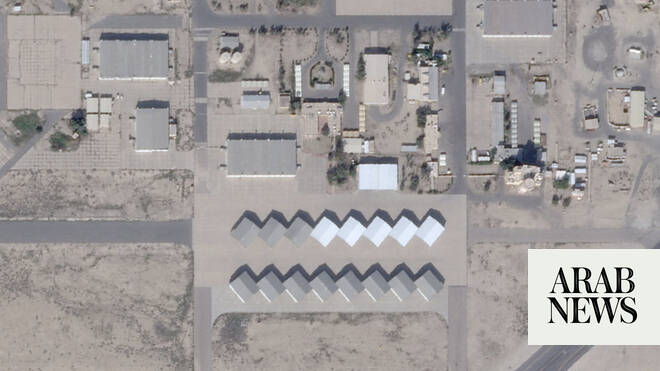
This area was defined in a previous announcement as all of Iran and allied bases in the area, as well as Gulf states and existing conflict zones.