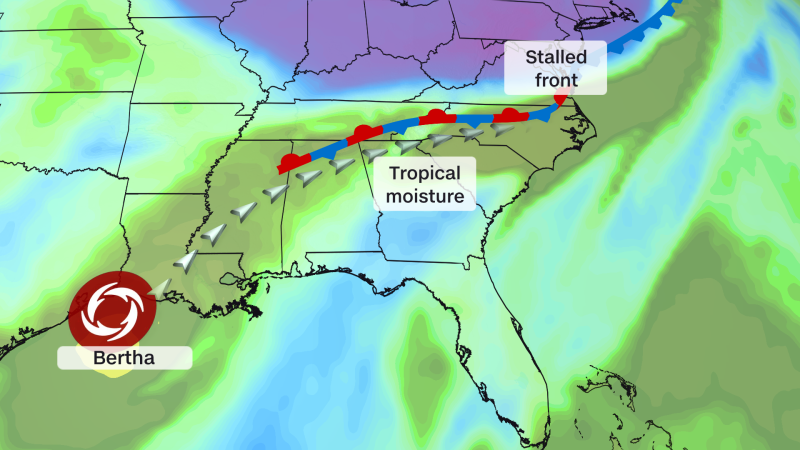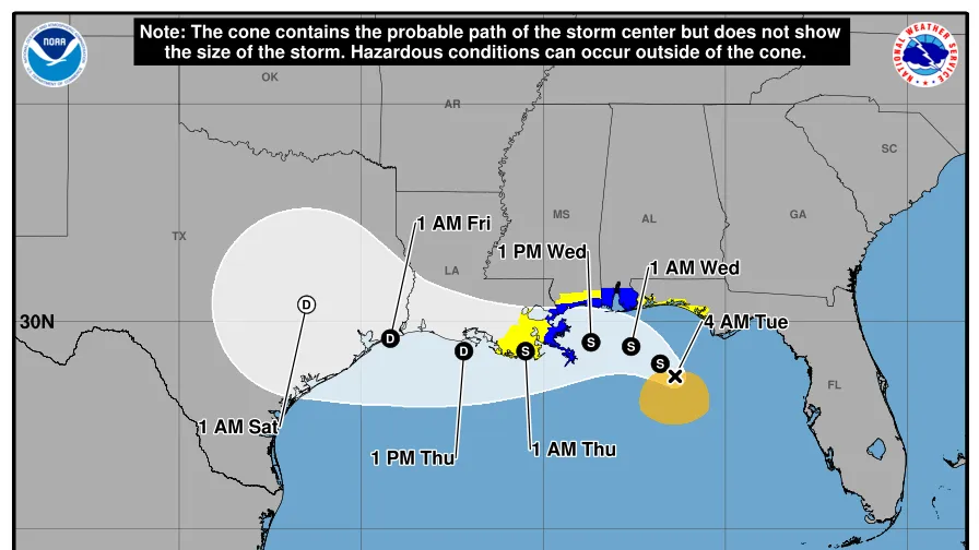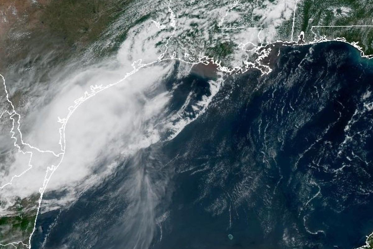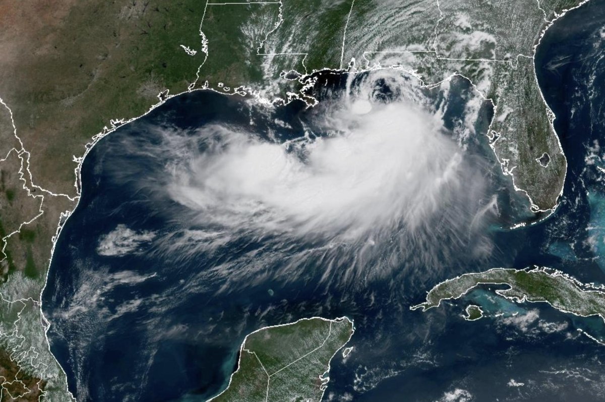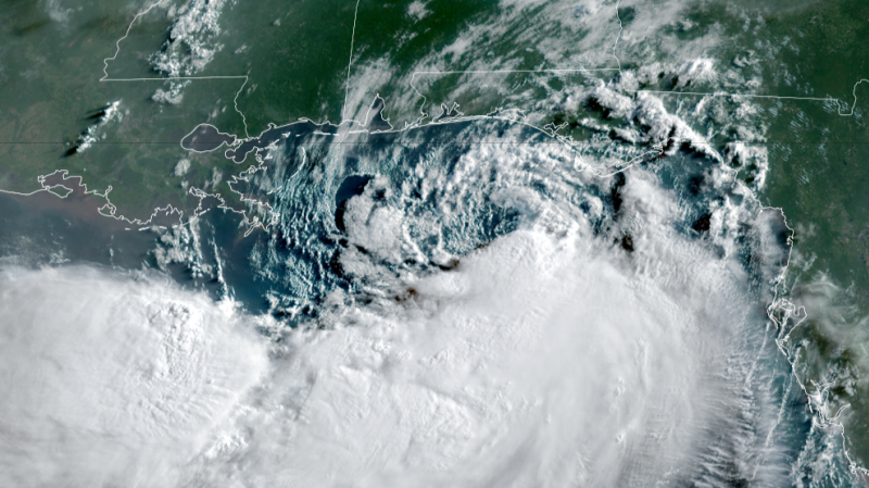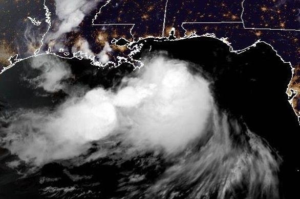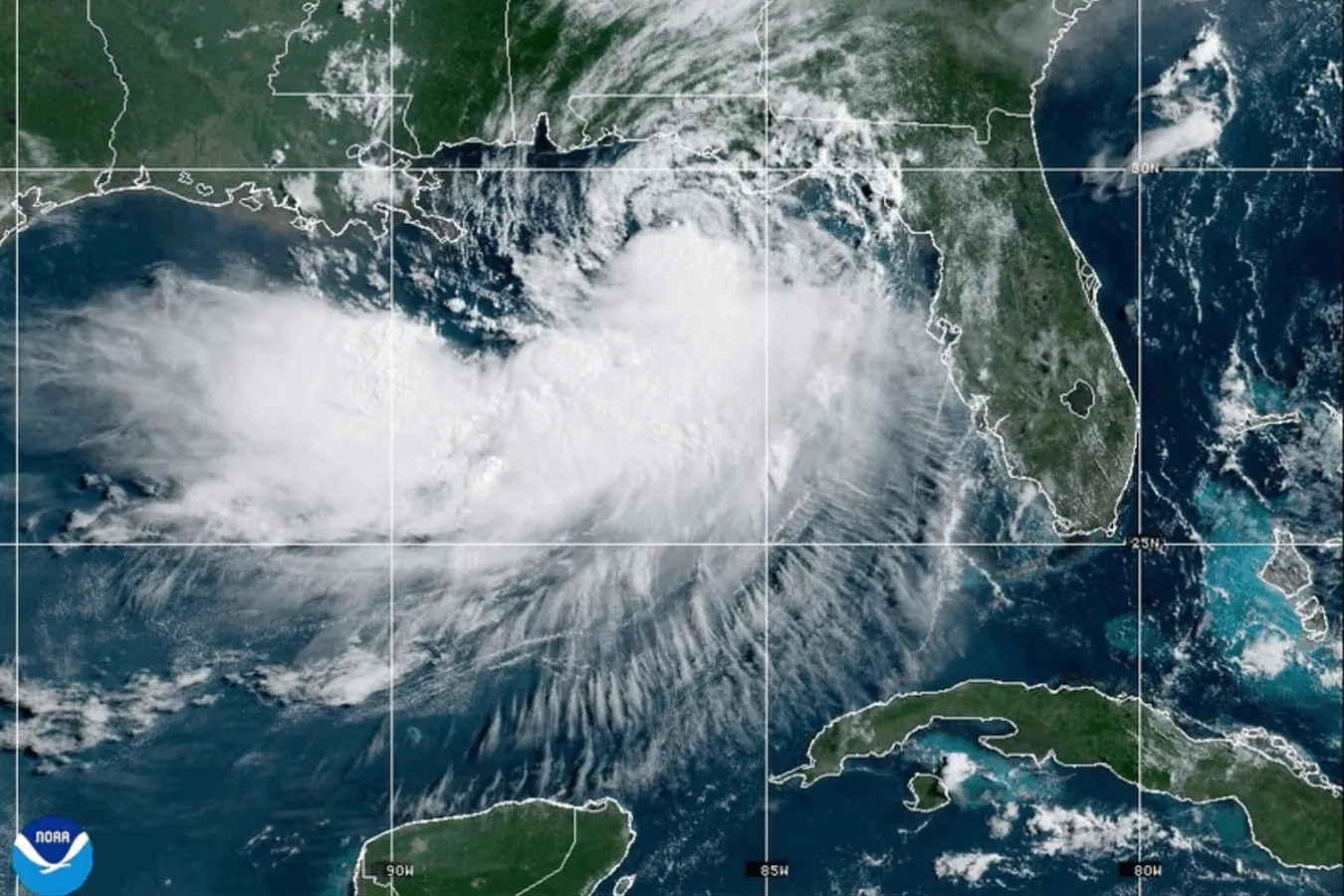
This NOAA satellite image taken at 10:30 a.m. EST on Tuesday, July 21, 2026, shows Tropical Storm Bertha moving along the Gulf of Mexico's northern coast. (NOAA via AP)Associated PressTropical Storm Bertha continues to creep across the northern Gulf as of Wednesday morning. Meteorologically speaking, it has not really had the look of a “typical” tropical storm. Nevertheless, it is still classified as a tropical storm with maximum sustained winds of 50 miles per hour at the time of writing. What’s next for the storm as it makes its way towards Louisiana and Texas?Location and forecast track for Tropical Storm Bertha on the morning of July 22, 2026.NOAA and NWSThe Fate Of Tropical Storm BerthaThe National Hurricane Center forecasts that Bertha will hold on to tropical storm status at least through Thursday afternoon. At the time of writing, the storm is just east of Louisiana and is slowly moving westward at 5 miles per hour. Tropical Storm Warnings extend from Walton County in the Florida panhandle to Louisiana, including Morgan City, metropolitan New Orleans and Lake Pontchartrain. Tropical Storm Watches have been issued from Morgan City, Louisiana, to Sargent, Texas including the Houston - Galveston Bay region.Tropical Storm Bertha on Wednesday morning has convective activity south of the circulation center.NOAA and Tropical TidbitsBertha has not been the most photogenic storm from a structural perspective. Persistent upper-level wind shear has produced a lop-sided, asymmetric storm with most of the rainfall in the southern quadrant of the storm. Candidly, that’s good for communities along the Gulf Coast. Because most of the clouds are in the southern part of the storm, the low-level circulation has been persistently exposed in weather satellite imagery. MORE FOR YOUExpected rainfall from Tropical Storm Bertha over the next three days.NOAA“Bertha’s appearance, the presence of 25-30 kt of northeasterly vertical wind shear, and land interaction are likely to result in slow weakening over the next 24 hours or so,” wrote NHC forecasters Wednesday morning." After that point, Bertha’s future likely depends on if the circulation remains along the Gulf coast, or if it attempts to reform further south under the convective bursts in the northwestern portion of the Gulf," they continued. For now, the most likely scenario is that Bertha continues to weaken as it moves towards the Texas coastline.Typicall progression of the average Atlantic hurricane season.NOAAClimatological Perspective On Tropical Storm BerthaTropical Storm Bertha is the second named storm of the Atlantic season. Forecasters have called for below normal activity due to the presence of El Nino, but such information should prompt anyone to let their guard down. It only takes one storm this season to change lives and communities. Climatologically speaking, the second named storm of the year typically happens around July 17, so Bertha was right on schedule. The first hurricane of the year, on average, forms during the second week of August.Mississippi Delta, Louisiana, USA. (Photo by Tim Motion/Construction Photography/Avalon/Getty Images)Getty ImagesThe skewed nature of the storm means the worst wind and rain impacts are offshore. However, coastal communities will still experience wind impacts, storm surge risks, and isolated coastal or flash flooding. Further offshore, some companies have evacuated personnel from oil rigs in the Gulf. What’s the “so what?” there? “Prices are under pressure amid concern that Tropical Storm Bertha could disrupt liquefied natural gas (LNG) export facilities on the US Gulf Coast over the next several days, leading to reduced nat-gas exports and larger domestic supplies,” wrote Rich Asplund in Yahoo! Finance.Tropical-Storm-Force wind probabilities with Bertha.NOAA and NWS
Will Tropical Storm Bertha Reach Texas Or Raise Gas Prices?
A mid-week update on Tropical Storm Bertha, its march towards Texas, and potential impacts on gas prices.
584 words~3 min read