2 Min Read
PIA26617
Credits:
NASA/JPL-Caltech
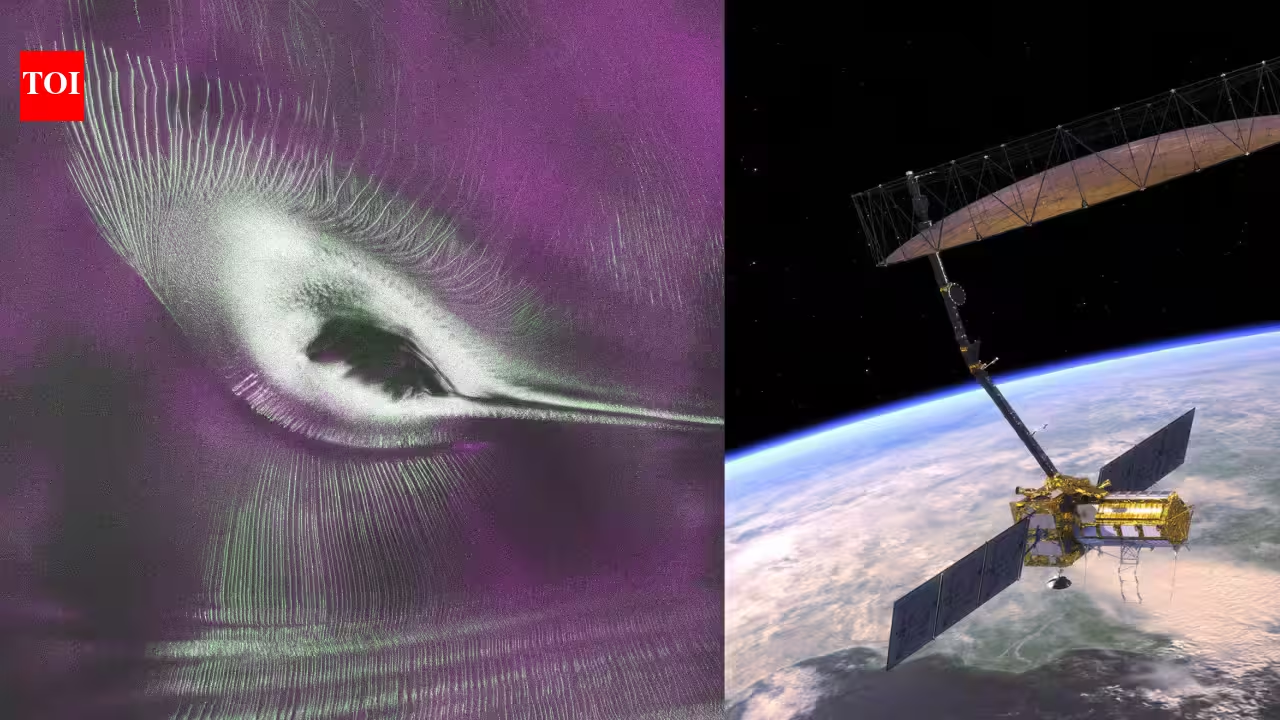
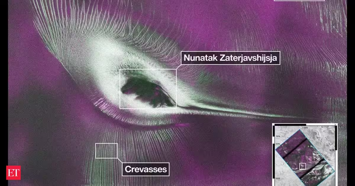
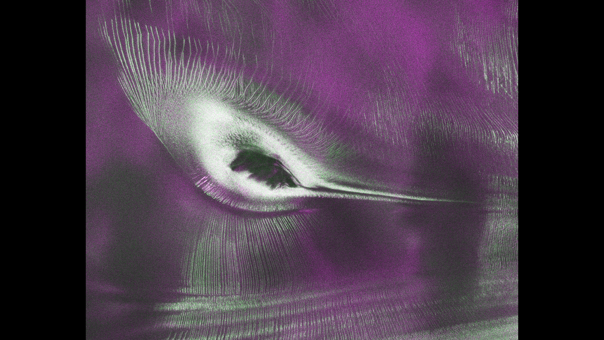
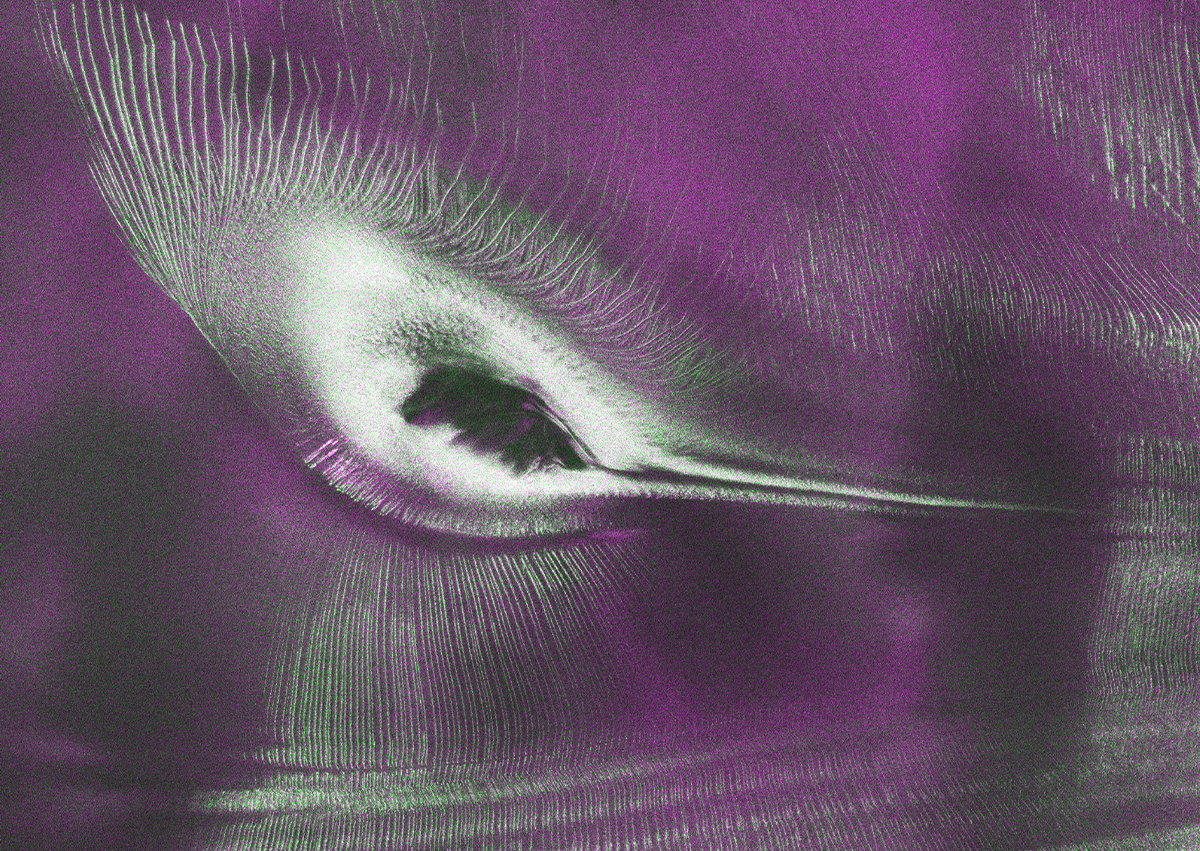
Data from the Earth-orbiting U.S.-India NISAR (NASA-ISRO Synthetic Aperture Radar) satellite’s L-band radar was used to produce an image of Nunatak Zaterjavshijsja — a mountaintop in East Antarctica — poking out amid a stream of ice flowing northeast to the ocean. The obstruction causes stresses in the ice, heavily fracturing the surrounding surfaces with deep cracks, called crevasses, which show as sharp green lines in the image. Produced in August 2025, the image has been nicknamed “the hummingbird” by NISAR scientists.