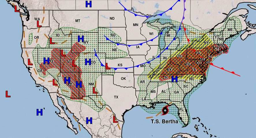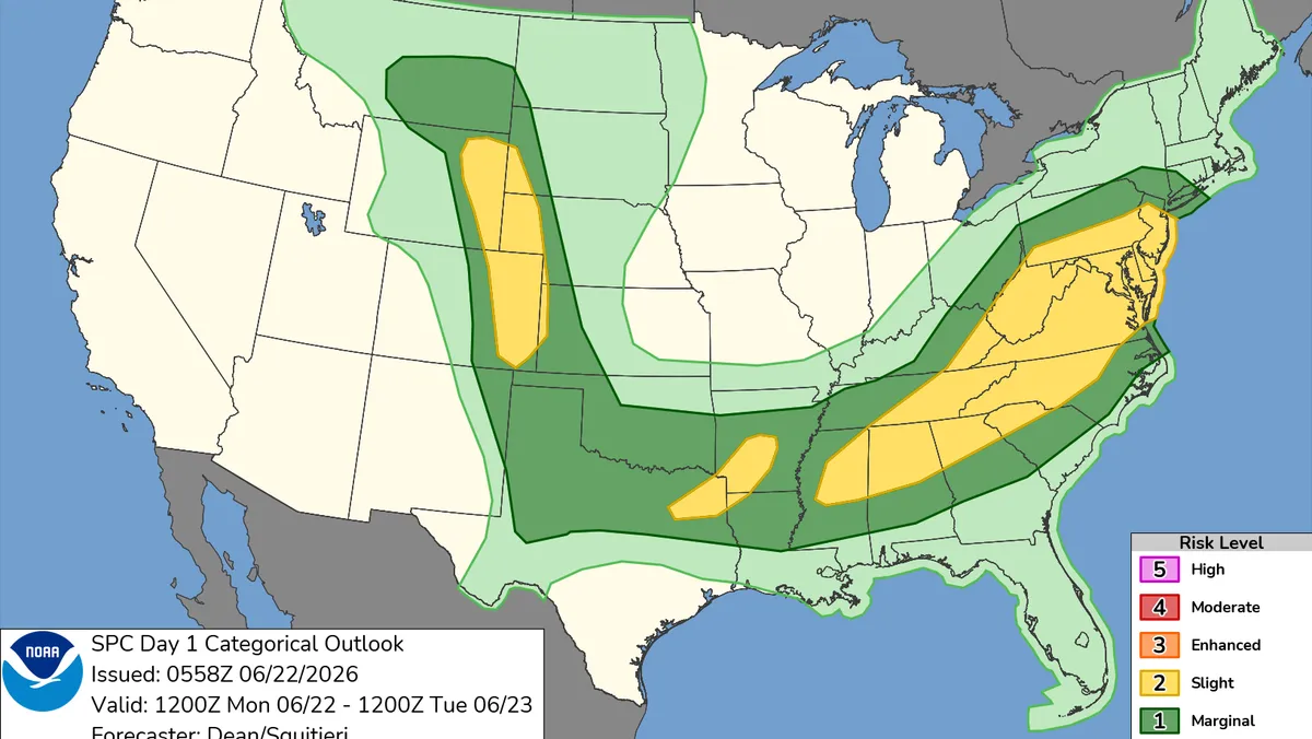
Severe thunderstorms are firing up from the Ohio Valley to the Mid-Atlantic and Northeast, including in major metropolitan areas along the Interstate 95 corridor. Some locations could see multiple rounds of storms by the time the threat winds down late Tuesday night.
More than 32 million people in parts of Pennsylvania, New York, New Jersey, Delaware and Connecticut are under a tornado watch until 9 p.m. ET, according to the Storm Prediction Center. New York; Philadelphia; Newark, New Jersey; and Bridgeport, Connecticut, are in the watch area.
Damaging wind gusts greater than 60 mph are the most concerning threat and could occur almost anywhere across the overall risk areas. Stronger gusts are possible if storms cluster together to form bowing lines, which are storms that start to look more like a closed parenthesis on radar as they track east.
Hail and a few tornadoes cannot be ruled out, especially in parts of the Appalachians. Flash flooding is also possible, especially in areas that see multiple heavy storms in quick succession.
Major cities along the I-95 corridor from Washington, DC, to New York could see severe thunderstorms through the evening commute, mainly in the 5 p.m. to 9 p.m. ET window.