4 min readImage of the Day for July 21, 2026Differences in the underlying bedrock and how rivers distribute sediment make the coastlines west of Portland look unlike those northeast of the city.NASA Earth ObservatoryJul 21, 2026 Article
View more Images of the Day:
The Wabanaki people have a deep well of creation myths explaining the rocky coastlines of the Bay of Fundy, Downeast Maine, and Acadia National Park. Many involve Glooscap—a magical figure said to have floated down the Bay of Fundy in a stone canoe, sculpting coastal features by scraping the vessel across the landscape and scattering enormous boulders during battles with primordial beavers, frogs, moose, whales, and other gigantic animals.
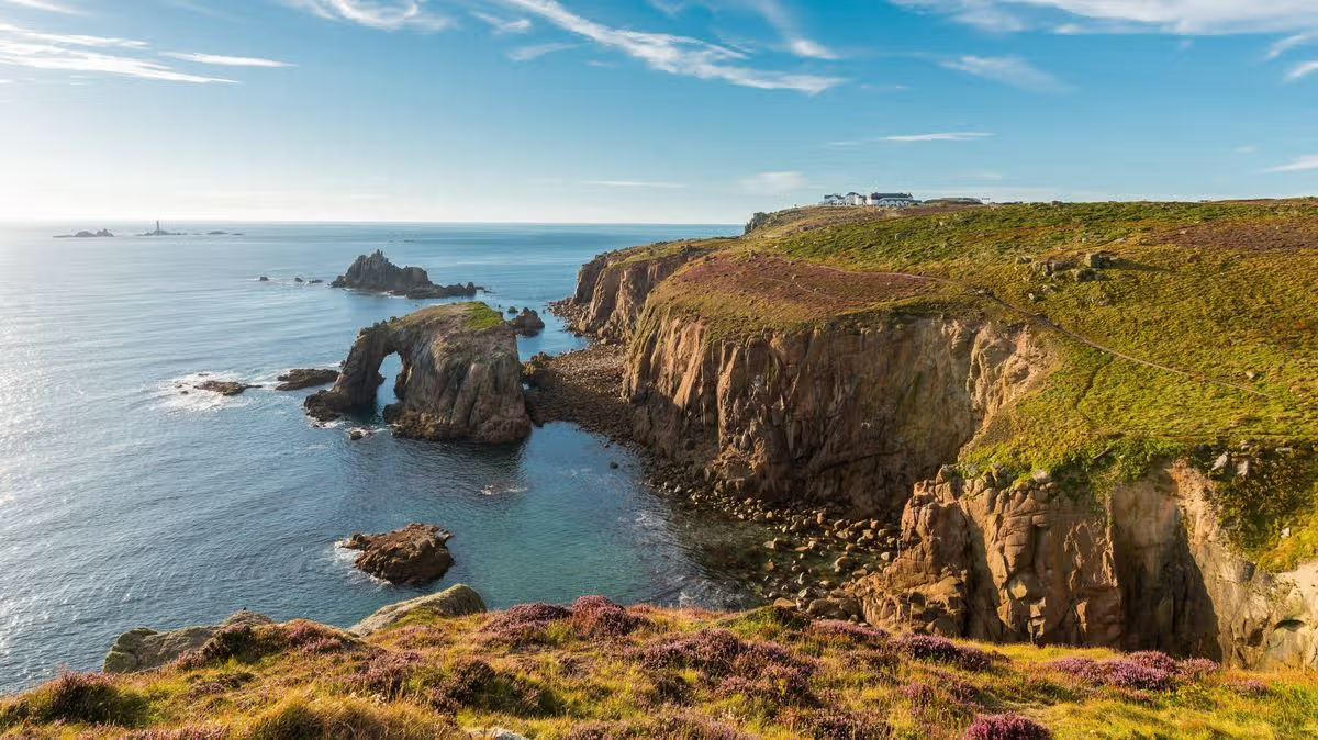
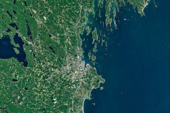
Fewer Indigenous creation myths survive to explain the origins of the sandy and marshy shorelines of southern Maine and the rocky, indented coasts of the state's Midcoast region. But the sharp contrast between the sandy shoals and beaches south of Portland and the rocky shoreline of promontories, headlands, and narrow peninsulas to the east—visible in the Landsat image above—has long drawn the attention of coastal geologists, whose scientific explanations on its origins abound.
The coastal transition reflects both differences in the underlying bedrock and the distribution of sediment left behind by the last glacial maximum, coastal geologists say. Southern Maine has broad deposits of sand, much of it sourced from rivers. The sandy beaches of Saco Bay, for instance, home to Maine’s longest contiguous beach and the state’s largest saltmarsh, received sediment from the weathering and breakdown of the White Mountains, with material transported to the coast largely by the Saco River, explained Peter Slovinsky, a geologist with the Maine Geological Survey. Waves and tides reworked these soft sediments over time, sculpting them into the arch-shaped embayed beaches and sprawling salt marshes found around Saco Bay and the broader region.