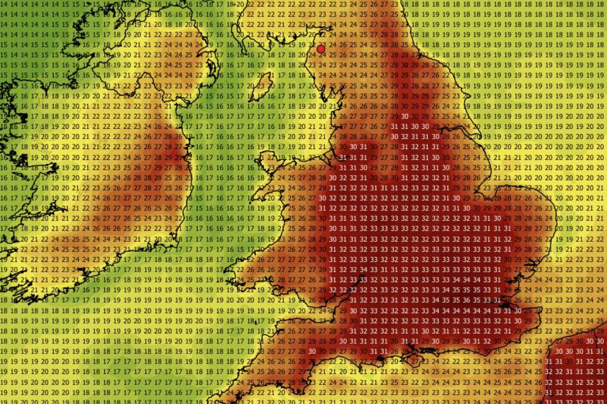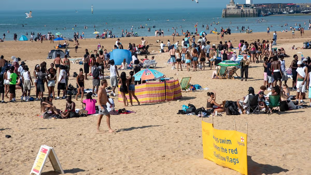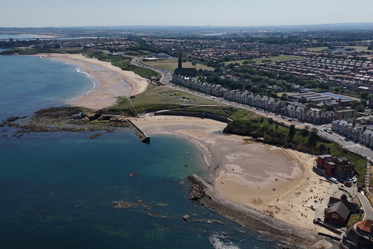
The UK has seen a record-breaking summer so far, with the mercury breaking 30C for at least 12 days in a row this month as part of the latest heatwave. While some stretches of Wales and the south west of England remain in a heatwave, temperatures appear to be cooling down for most parts of the country. Temperatures have dropped to the low twenties and late teens further north, ending the third heatwave for many parts of England and Scotland. Many Brits may already be asking when the next heatwave could be on the cards, whether they are preparing to bask in the sunshine or check how soon they need to invest in an air conditioning unit. Parts of the UK are experiencing heatwave conditions still on Monday while temperatures have gone down for many (Met Office)Heatwave conditions are met when a location records a period of at least three consecutive days with daily maximum temperatures meeting or exceeding the heatwave temperature threshold, which varies by UK county between 25C and 28C.ITV’s weather service has predicted that another heatwave could brew at the start of August, remarking on an area of high pressure building in the first weekend similar to the type of weather seen earlier this month.The BBC weather service meanwhile remarked that a temperatures were expected to remain above average during late July and August, so further heatwaves could not be ruled out.The Met Office told The Independent that there are no signs in their forecast at the moment of a widespread heatwave, but there was time for another one to develop.The heatwave threshold varies across the country between 25 and 28C (Met Office)The forecaster’s midterm predictions for between 25 July and 3 August show that the weather could be changeable with some rain spreading southeast across part of the UK at the start, with sunny spells interspersed. Towards the term of the month, the Met Office is already seeing hints of high pressure returning to resume the dry conditions much of England and Wales has seen. “Winds will be mostly light or moderate, but occasionally fresh or strong around some coasts, mainly in the north. Temperatures will be near or above normal, warmest in the south, and perhaps becoming very warm again by the start of August,” the forecast read.It comes after the forecaster warned last week that the extreme climate conditions seen by Brits this summer are set to become the new normal. The Met Office has warned these extreme climate conditions could become the new norm (Getty)Mike Kendon, Met Office climate information scientist, said: “2025 was the UK’s warmest year on record, the sixth time this record has been broken in the 21st Century so far. The last four years are all in the top five warmest years. “With warming at around 0.25C per decade since the 1980s, it seems likely this record will be broken again in a matter of years.”There have already been 28 days in 2026, consecutive and non-consecutive, when 30C has been exceeded somewhere in the UK: seven in May, eight in June and 13 in July.The record for the number of 30C-plus days in a calendar year is 34, which was set in 1995.Met Office forecast for the next five days:This Evening and Tonight:Rather cloudy this evening and tonight in the north, with some light rain or drizzle towards windward coasts and hills. Dry elsewhere with clear spells and feeling a little warmer than the previous night.Tuesday:Largely dry with sunny spells for many, although there will be some showery light rain at times across northern coasts. Feeling warm in the sunshine, especially in the south.Outlook for Wednesday to Friday:Staying settled through the end of the week with patchy cloud and the odd shower in the north. Feeling warm or very warm in the sunshine and light winds.
UK weather: Could we see another heatwave this summer?
Heatwave conditions are met when a location records three or more days of temperatures crossing a local threshold that varies between 25C and 28C, depending on where you are in the country
637 words~3 min read