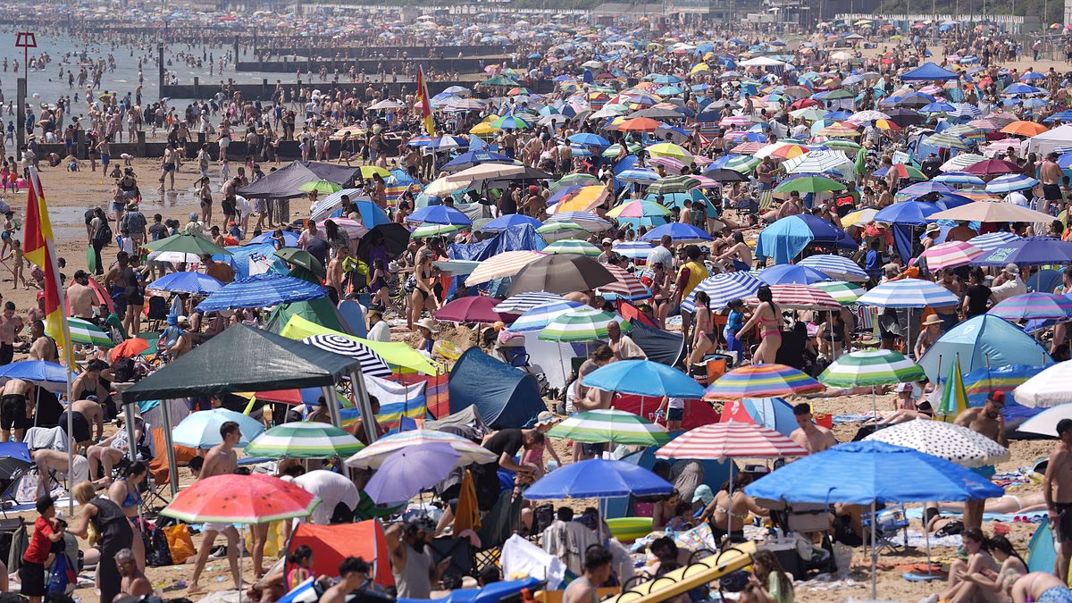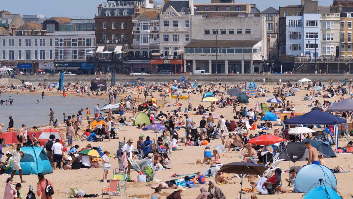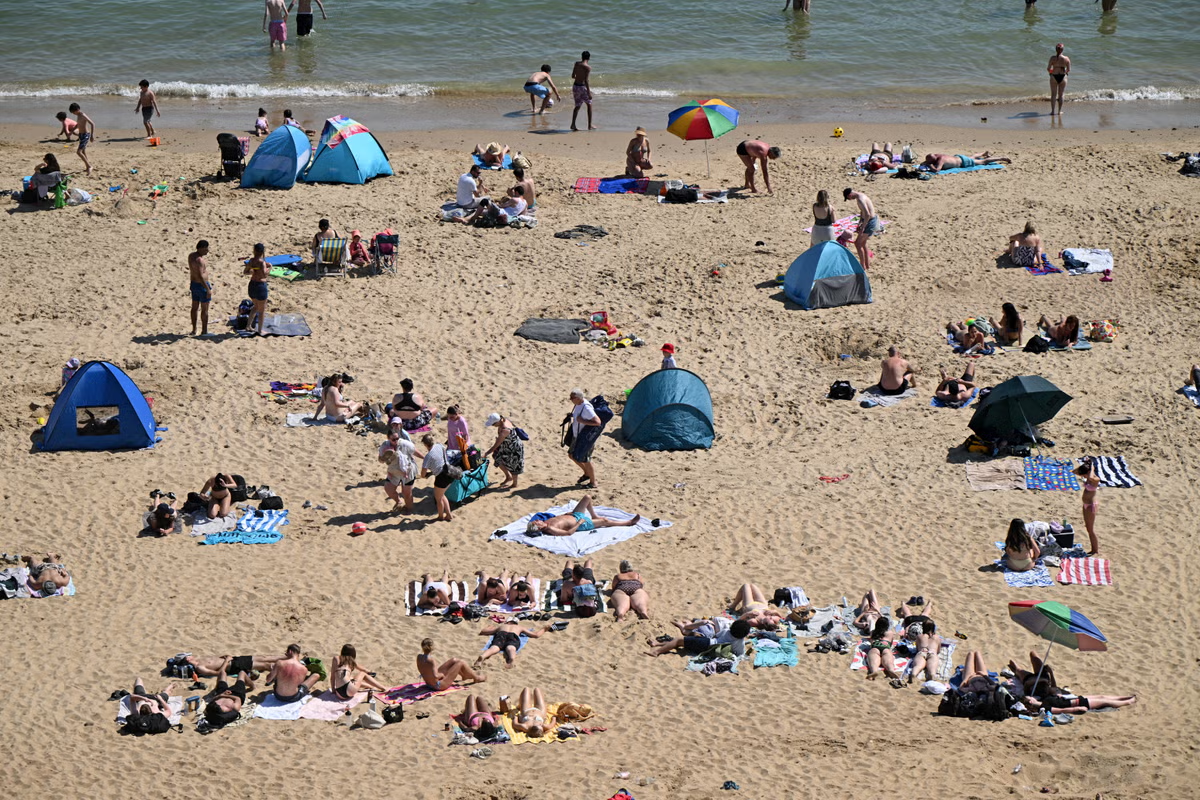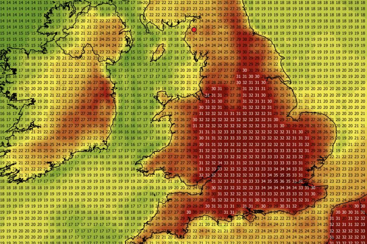
The UK could see a second heatwave just weeks after May’s record-breaking temperatures, as the Met Office forecasts 30C could be surpassed again.Unsettled weather has so far followed the unprecedented event, with rain and showers expected to continue affecting most of the country through to Friday.Some parts of the country have even seen temperatures plummet, with reports of snow in parts of Scotland.But weather conditions could take a sharp turn again over the weekend, with temperatures likely to rise above the seasonal average, which is placed at around 21C for southern England.Dan Stroud, a meteorologist at the Met Office, said: “We’re looking at temperatures climbing into the weekend, particularly on Saturday and Sunday, so feeling much warmer than recent days, with temperatures quite widely above average, especially across the south come Saturday, and even more so on Sunday.”Beachgoers enjoy the hot weather at Flamborough's North Landing beach on 26 May (Getty)Current indicators also suggest temperatures might hit 30C and possibly go beyond it, Mr Stroud added.“How high the temperatures get is still open to a fair amount of debate,” the meteorologist said. “There is growing signal that temperatures will be heading comfortably into the high 20s, perhaps breaking 30 degrees again.”Last month’s record-breaking heatwave saw 26 May become the hottest day in May on record for both England and Wales, with 35.1C measured at Kew Gardens and 32.9C at Cardiff Bute Park.The coming shift in weather conditions is because of a change in the jet stream, which is currently running across the UK and driving unsettled Atlantic weather fronts across the country, the Met Office has explained.“End of this week, high pressure starts to build from the south, with clearing skies and rising temperatures over the continent,” Mr Stroud said. “It’s just a perfect recipe for temperatures to actually start climbing.”The South and South East are likely to experience the highest temperatures over the coming weekend, according to the Met Office.But more unsettled weather is to be expected in the meantime, with Tuesday set to be a day of sunny spells and showers for most.Met Office five-day forecastWednesdayBlustery showers return to most areas on Wednesday, with northern and eastern areas having the greatest chance of hearing some thunder with a risk of hail too. Some pleasant sunny spells are likely, especially through the afternoon, feeling rather cool.ThursdayA wet and rather windy day as rain spreads across the East, turning locally heavy at times, but easing later. Feeling muggy under widespread cloud cover. Turning drier by the evening.Friday to SundayLargely cloudy with patchy rain in the west on Friday, brighter further east. Becoming drier and warmer from the South into the weekend as high pressure gradually builds.
Will there be another heatwave this weekend? Temperatures set to rise above 30C again
Last month’s heatwave saw May 26 become the hottest day in May on record for England and Wales
446 words~2 min read