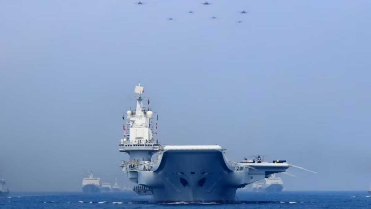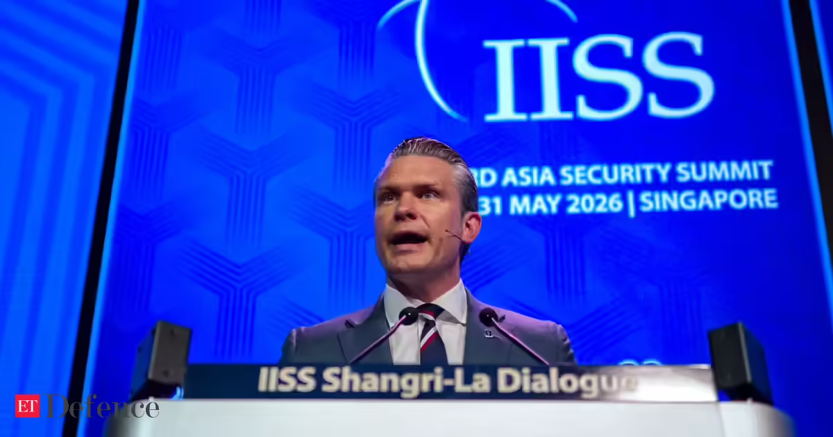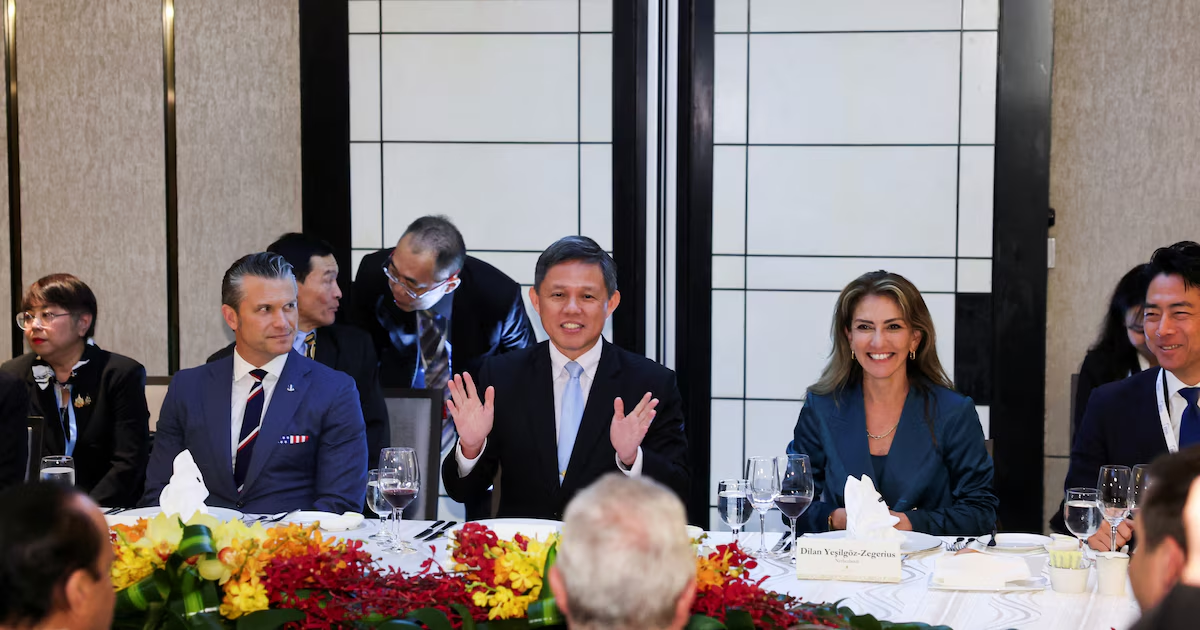
Regional defence summits in mid-2026 have been dominated by discussions of naval manoeuvres in the South China Sea and AUKUS hardware timelines. Yet the formation of El Nino conditions, which are expected to strengthen through 2026 and likely persist into early 2027, represents a far more immediate threat. Indo-Pacific strategy must treat water stress and resource insecurity as core geopolitical challenges.
The traditional geopolitical framework where states compete for influence on the static stage of geography is being completely overtaken by climate-fragile geopolitics, where the most consequential fault lines are marked by transboundary rivers, depleted aquifers and disrupted monsoons.
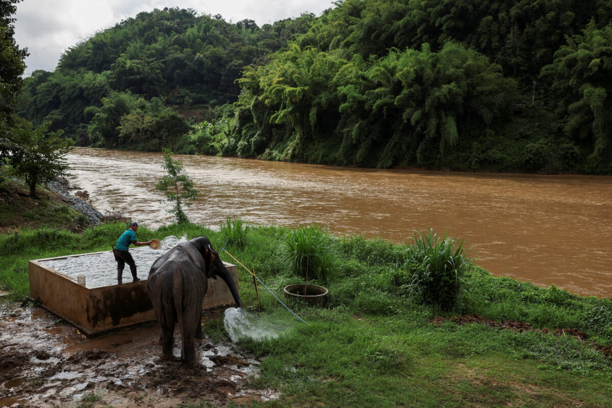
The Southeast Asia and the Pacific’s primary river systems face compounding pressures. A landmark 2026 study published in Nature used a decade of satellite radar measurements to map land subsidence across 40 of the world’s largest river deltas. It found that the Mekong and Chao Phraya deltas were among those sinking fastest — in some places, sinking many times faster than the sea is rising. In 18 of the deltas, sinking land already outpaces local sea-level rise, heightening near-term flood risk for hundreds of millions of people. This is subsidence is the direct consequence of upstream infrastructure trapping vital sediment and excessive groundwater extraction.