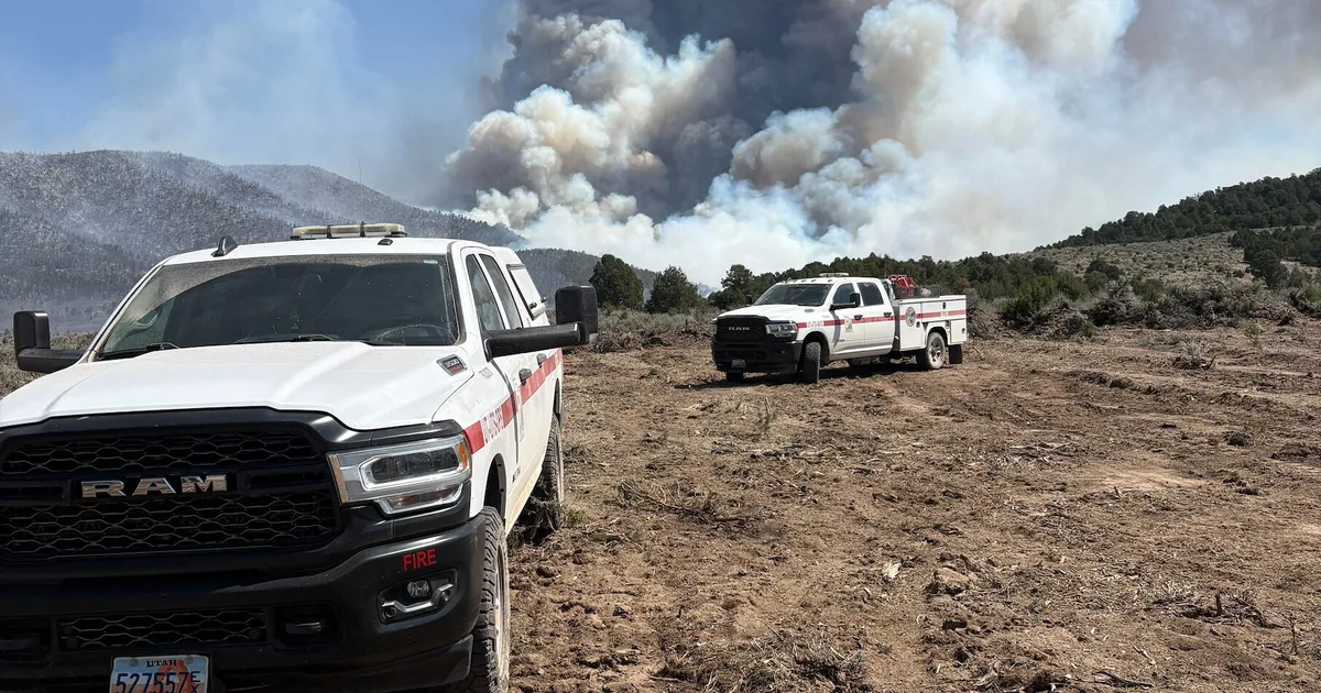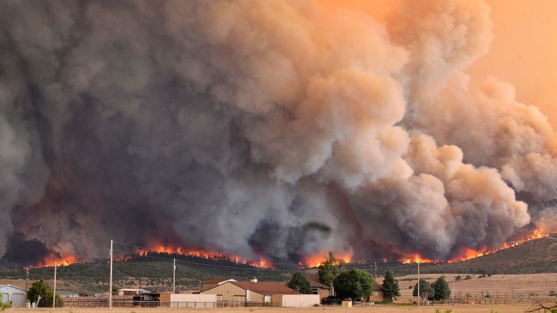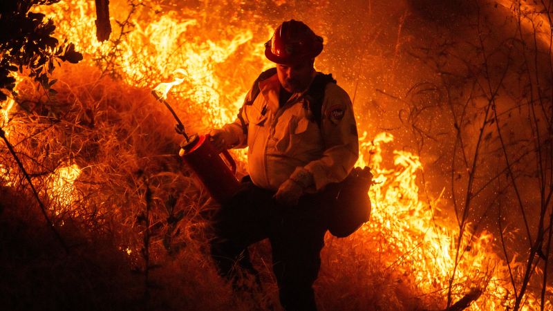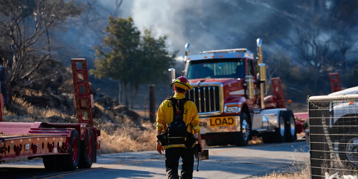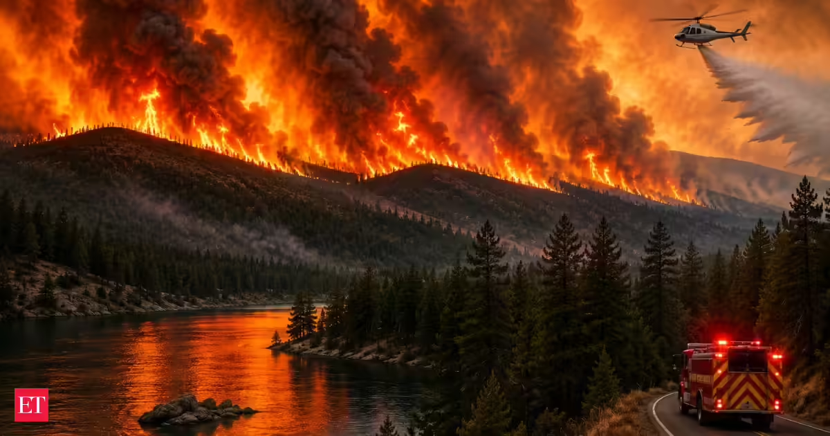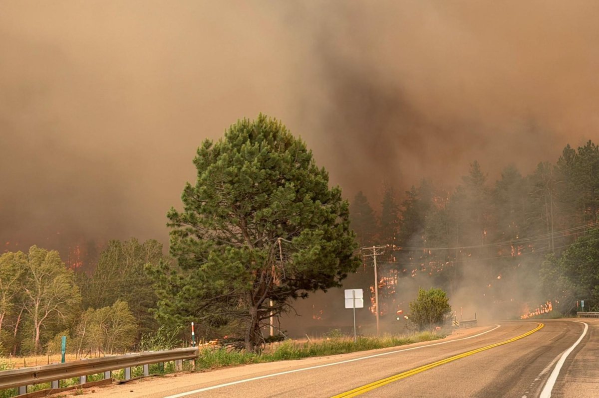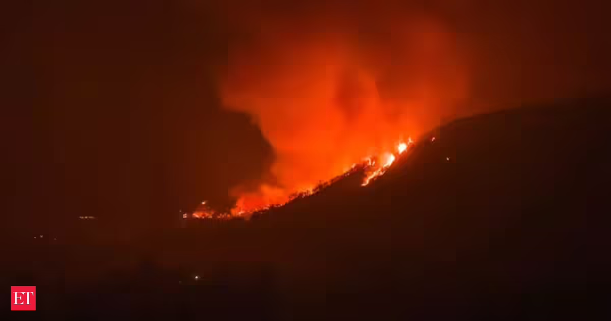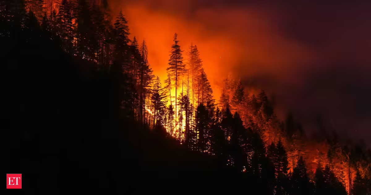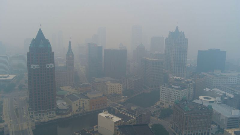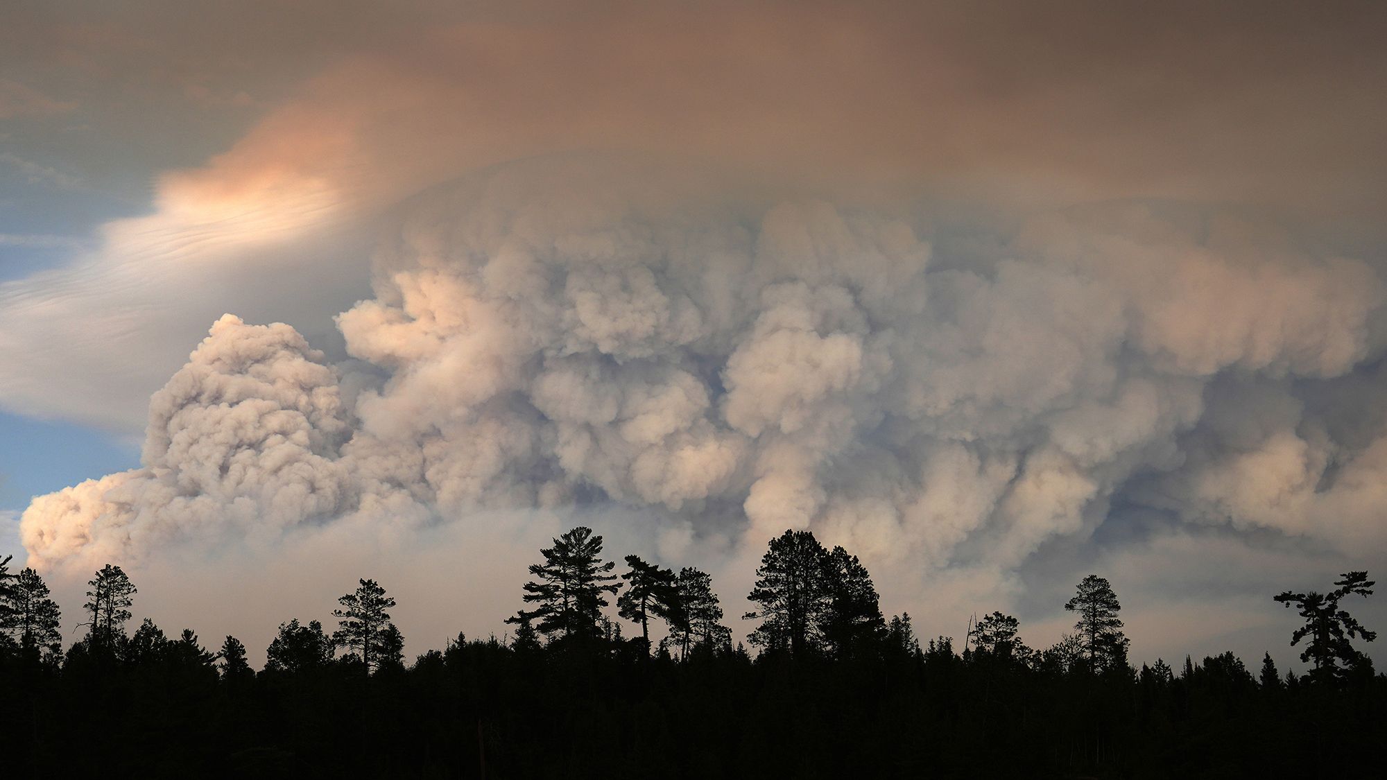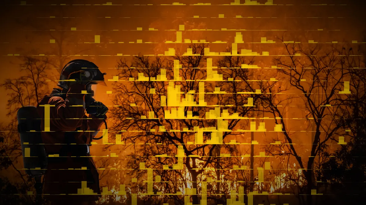
A new heat wave will bring another round of scorching temperatures as several fires in the West continue to grow in what’s already been a deadly fire season. The Babylon fire burning in Utah now covers 100,000 acres and the Aspen Acres fire in Colorado is nearing that size.This follows what had been a historically warm winter turned into a historically warm first half of the year: so far 2026 is the nation’s second warmest in 132 years of record keeping. USA TODAY analyzed decades of wildfire data compiled by federal agencies, which includes fires of at least 1,000 acres for the western U.S. and at least 500 acres for the eastern U.S., to see how things have changed. Between 1984 and 2024, there have been over 16,000 large wildfires. These burned 179 million acres. That’s an area larger than Texas or that of the 15 smallest states combined: Rhode Island, Delaware, Connecticut, Hawaii, New Jersey, Massachusetts, New Hampshire, Vermont, Maryland, West Virginia, South Carolina, Maine, Indiana, Kentucky, and Virginia. And the amount of land burned is not equally distributed over the years. By the early 2020s, the average annual acres burned had nearly tripled compared to the 1990s. While summer is still the predominant season, the average acreage burned in winter, spring and fall have all increased too, according to the analysis.In December 2021, the Marshall Fire erupted and tore through Colorado communities leading to large-scale evacuations. It became the most destructive fire in the state with over 1,000 homes lost.More recently in March 2026, the Morrill Fire ignited in Nebraska and quickly became the state’s largest, reaching over 640,000 acres. “There's certainly never been a wildfire without ignition, there's never been a wildfire without fuel, so climate is not the only factor, but we do have multiple lines of evidence that climate change is contributing to the increase in area burned,” said Noah Diffenbaugh, professor and senior fellow in Stanford’s Doerr School of Sustainability. A 2025 study found that, depending on the region, climate change can account for one-third to as much as 80% of the burned area in the Western U.S. between 1992 and 2020. Wildfire smoke is a major contributor to air pollution and is slowing, or even reversing in some regions, decades of progress to clean up air. “About half of the smoke generated [between 1997 and 2020] could be linked to climate change, so that's quite a large number,” said Loretta Mickley, an atmospheric chemist at Harvard and co-author of the study. “If we zero in more recently from 2010 to 2020, those numbers increase.” The states that are hardest hit are Washington, Oregon and California, Mickley added. These are places with large forests that generate a lot of smoke, but that have also been impacted by a loss of snowfall in winter. Not all fires are bad – they can help keep forests diverse and keep pest populations in check. A historic suppression of fires from the 20th century, however, has led to denser forests which can lead to fires growing in size and intensity.Fire is sensitive to weather conditions, so a rainy or dry year can shape a fire season.The National Weather Service’s Climate Prediction Center latest forecast shows Colorado and Utah might get some relief with above-normal precipitation while the Pacific Northwest could see dry and hot conditions in the coming months. “There's a lot of just chaos in year-to-year weather, but the big picture shows increasing fire when you look at the overall trend ... over a number of decades,” Mickley said. This is a developing story which may be updated.Contributing: Mitchell Thorson
It's only gotten worse. Decades of wildfire data shows drastic increase
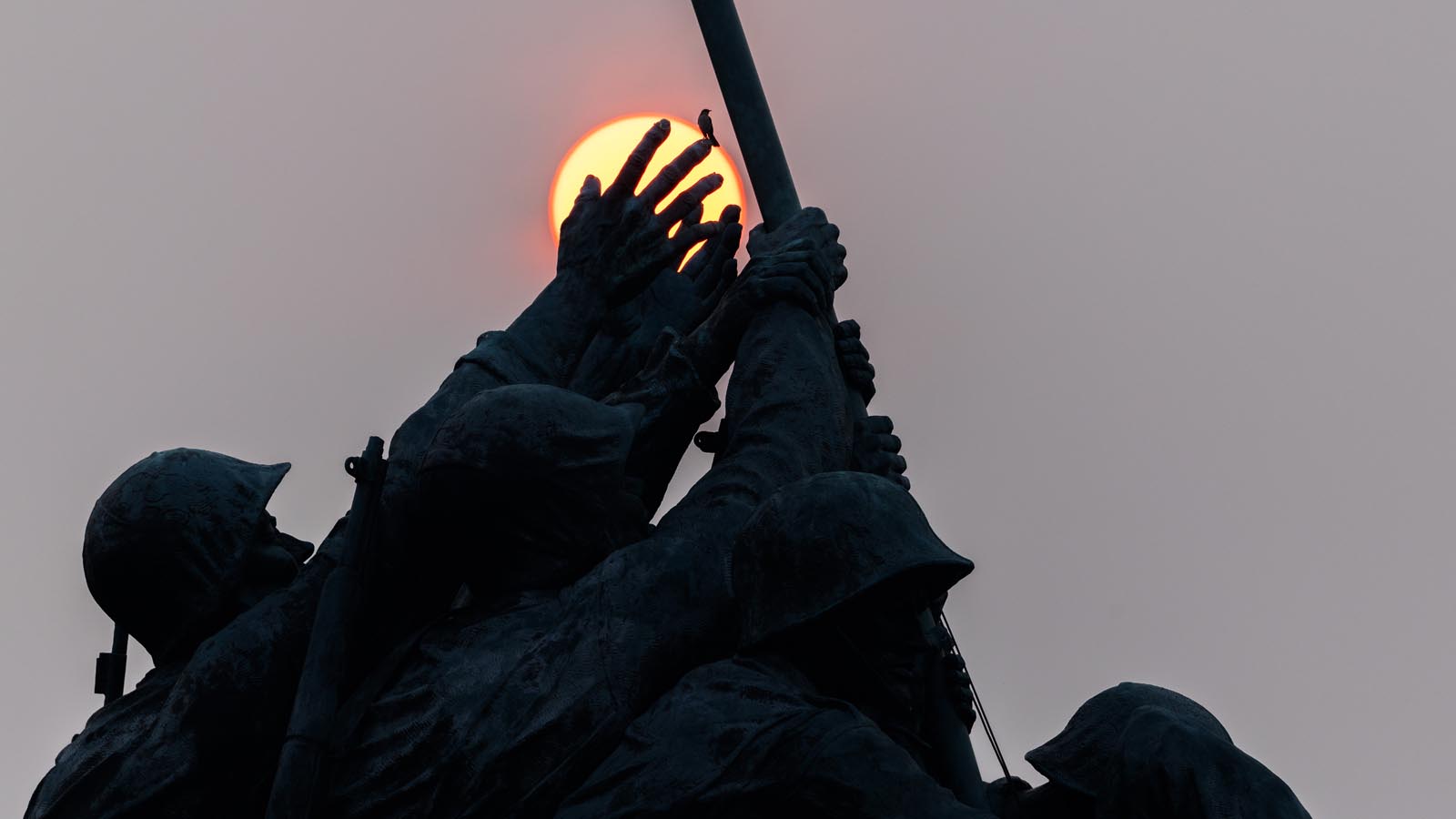
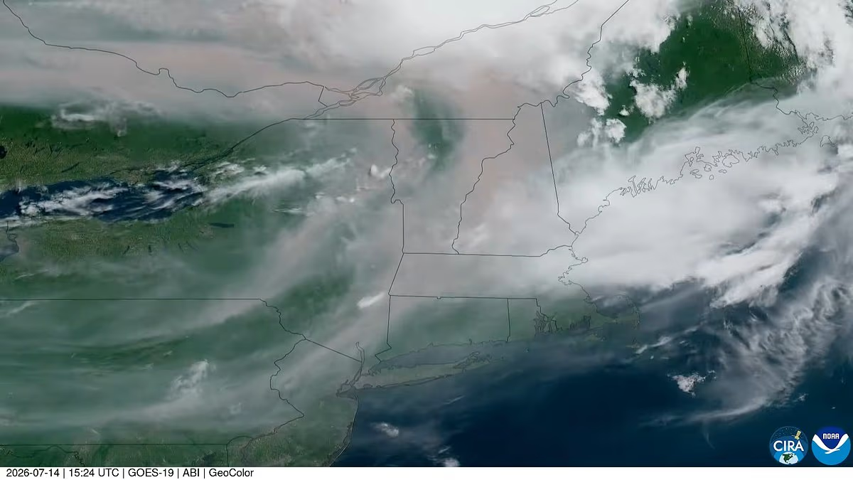
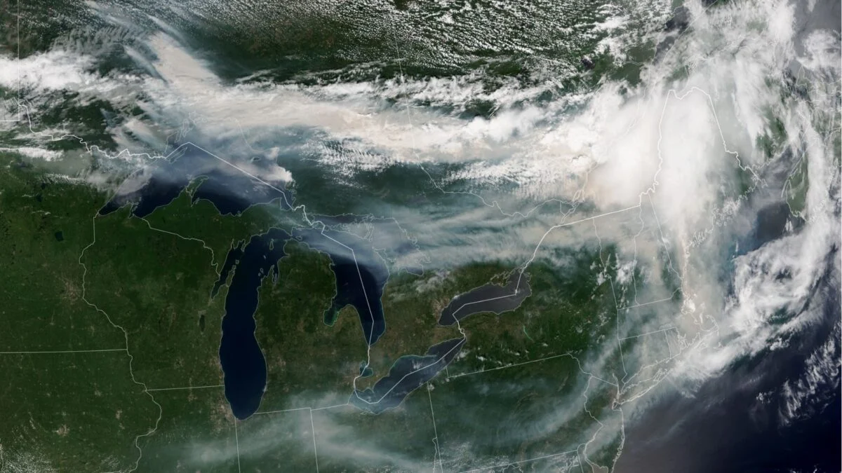
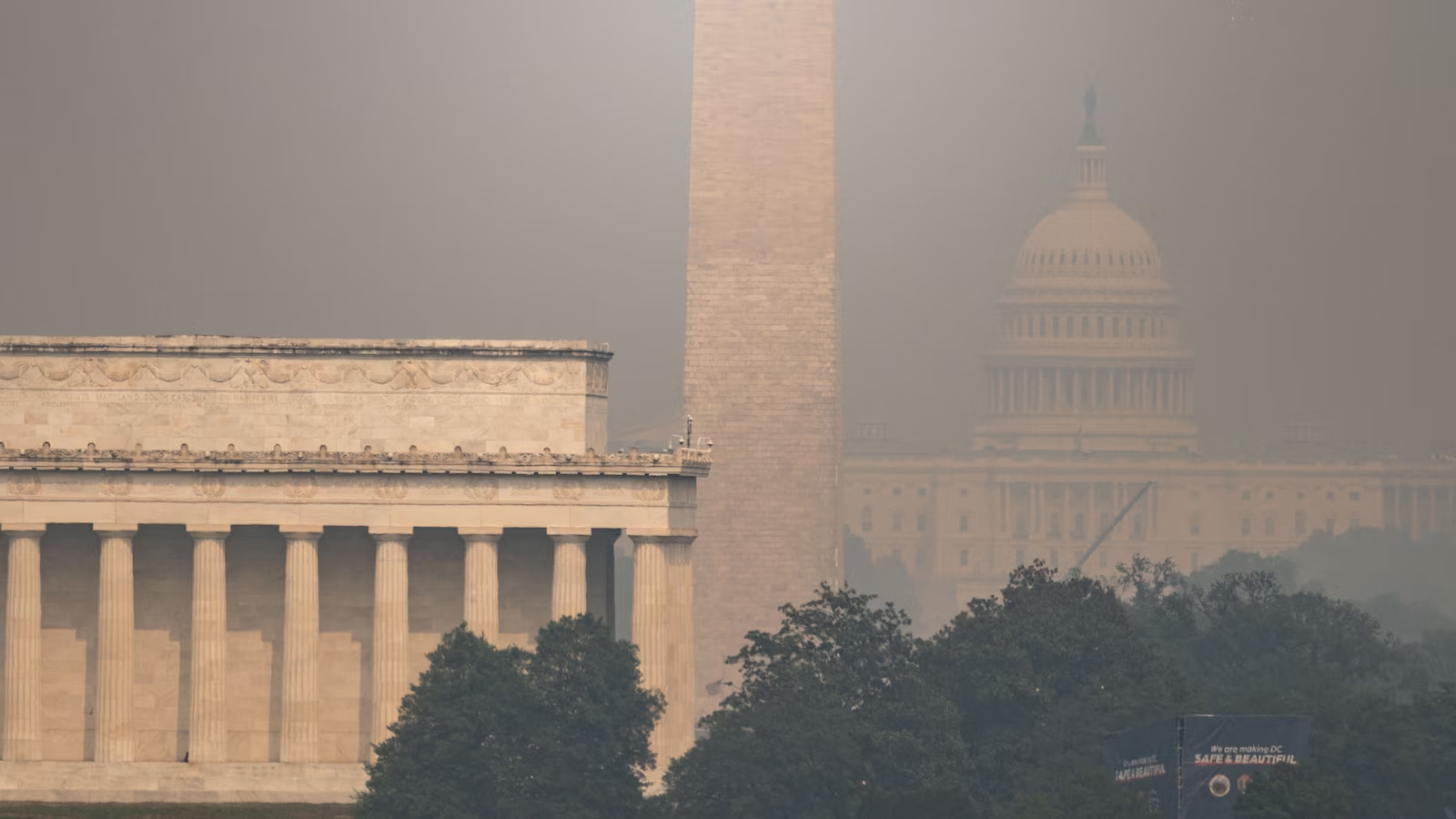
From fires in Canada to Aspen Acres in Colorado and the Babylon fire in Utah, wildfires are releasing harmful smoke, impacting air quality across the map.
606 words~3 min read