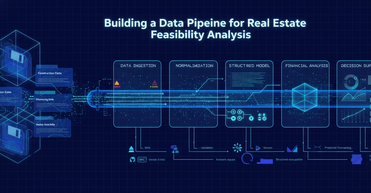
Real estate drone imaging is a data pipeline, not just a photoshoot. Raw aerial captures go through geotagging, image stitching, color correction, and orthomosaic rendering before they become the listing photos, virtual tours, or 3D walkthroughs buyers actually see. Understanding this pipeline helps agents, developers, and PropTech builders evaluate vendors, automate delivery, and avoid the common failure points that make aerial content look amateurish or inaccurate.
Why This Matters Beyond "Nice Photos"
Most people think of drone real estate photography as a camera on a quadcopter. In practice, it is closer to a lightweight geospatial data pipeline capture, processing, and rendering with real engineering decisions at every stage. If you are building PropTech tools, managing MLS integrations, or just trying to understand why some listing photos look crisp and others look warped and washed out, the pipeline is where the answer lives.
This piece walks through that pipeline end to end: what happens between "drone takes off" and "buyer sees a stunning hero shot on Zillow," and why each stage matters more than it looks like it should.
Stage 1: Capture Planning and Flight Automation