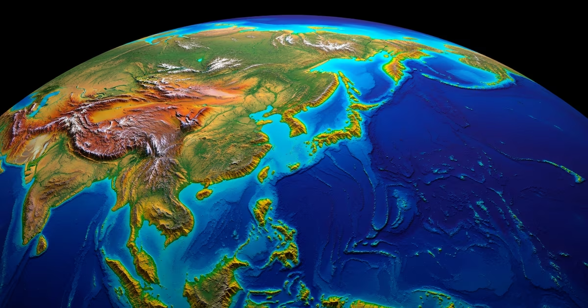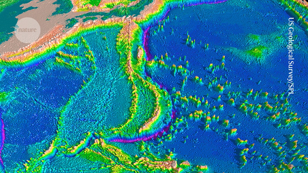
The bottom of the ocean has been mapped in much less detail than has the surface of Mars.Credit: US Geological Survey/Science Photo LibraryThe ocean’s depths are among the ultimate frontiers for scientific exploration. Scientists have visually surveyed less than 0.001% of the sea floor, yet oceanography is essential to understanding the climate, ecosystems and processes of deep Earth — including earthquakes and the resulting tsunamis.Now, emerging technologies, including advanced drilling technologies, seismic sensors and methods to convert deep-sea cables into a giant seismic-surveillance network, are poised to crack open these mysteries.Nature has looked into how some of these tools work, and the geoscience questions that they could help to answer.Mapping the mantlePlate tectonics is driven by convection, or the churning of the mantle — the layer of mostly solid rock under Earth’s crust that makes up more than 80% of the planet’s volume. But the mantle’s inner geological workings remain mostly a mystery.Researchers have begun to map the process of convection by measuring how different rock densities affect the propagation of seismic waves — using ocean-bottom seismometers (OBSs) that can run on batteries for one year or more.OBS studies have helped to show that the motion of rock in the mantle is “like a lava lamp”, says Ana Ferreira, a seismologist at University College London (UCL). “Imagine a pan with boiling syrup, but different types of syrup of different densities,” she says. Particularly hot ‘plumes’ (solid mantle rock that's hotter than the surrounding mantle) create mid-ocean chains of volcanoes, such as those in Iceland or the Hawaiian archipelago. Researchers have used ocean-bottom seismometers, shown here being lowered into the water, to study Earth’s mantle. Credit: NASA Image Collection/AlamyPioneering research in the 1990s focused on the Pacific Ocean, but scientists are now expanding their studies to the rest of the oceans. One such project, called UPFLOW, is currently analysing the data from OBSs that Ferreira and her collaborators deployed in the Atlantic around the Azores, Canary Islands and Madeira.In a separate project, the team showed how ocean-bottom tools could aid scientists during a crisis. A storm of earthquakes shook the volcanic São Jorge Island in the Azores in March 2022, causing fears of an upcoming eruption. Ferreira and her collaborators rushed to set up six OBSs around the island and mapped the magma activity under the volcano.In the end, there was no eruption. “The magma reached to within a kilometre of the surface. Then it stalled,” says UCL seismologist Stephen Hicks, a co-author of the study1.Drilling deep into the mantleUltimately, scientists would like to understand the depths of Earth: one grand challenge is to drill through the crust’s lower boundary — called the Mohorovičić discontinuity — and take the first-ever pristine samples of the underlying mantle.Researchers have high expectations that a new oceanographic research ship — China’s Meng Xiang, which is Mandarin for ‘dream’, launched in late 2024 — could for the first time collect samples directly from the mantle. Meng Xiang is equipped to drill as far down as 11,000 metres below the sea surface — deeper than any scientific vessel so far.Peter Bijl, a palaeo-oceanographer at Utrecht University in the Netherlands, was invited to visit the ship during a workshop in Guangzhou, China, in late 2024 and was impressed by the array of on-board laboratories and facilities. “It had everything one could possibly need on a ship, and more,” Bijl says.Researchers plan to use the deep-sea drilling vessel Meng Xiang to take samples of Earth’s mantle. Credit: Chen Chuhong/China News Service/VCG via GettyDetecting tsunamis with hydrophonesTsunamis can start at one end of an ocean and end up causing widespread destruction at the other. Usama Kadri, an applied mathematician at Cardiff University in the United Kingdom, and his collaborators have developed an ocean-based technique to predict whether and where a tsunami will cause destruction, up to several hours before its waves hit land.Their method relies on hydrophones, or underwater microphones, that can detect low-frequency sounds that are produced at the point of origin of a tsunami. Kadri and his collaborators created a mathematical model that uses data from hydrophones to simulate how tsunami waves propagate around the world2. “The strength of the software is that it can make calculations globally in less than 30 seconds,” Kadri says.Crucially, the underwater sounds travel three times faster than does the tsunami itself, so they can reach the hydrophones hours before the tsunami does. This could give local authorities precious time to evacuate local people from low-lying coastal areas.
The race to explore the deep ocean: four technologies transforming research
Deep-sea drilling ships, sea-floor sensors and repurposed Internet cables are helping scientists to study the last unmapped area on Earth.
745 words~3 min read