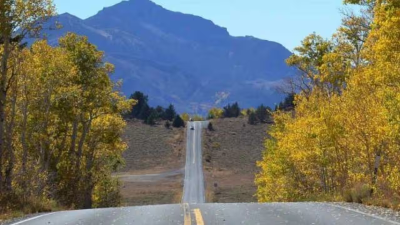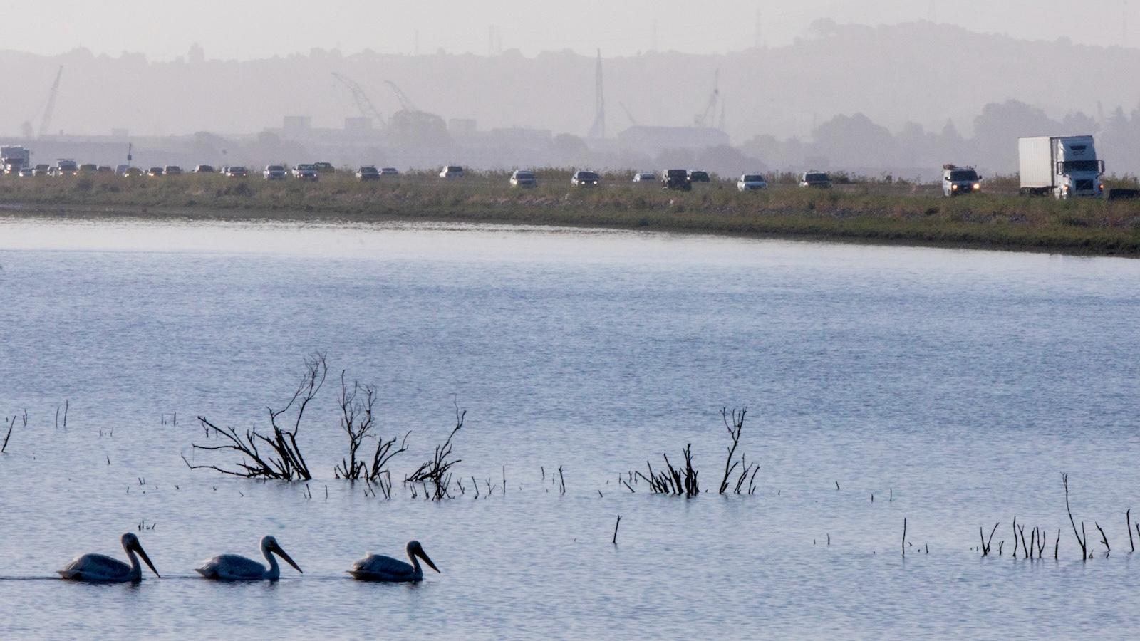
Between the view, the marshes, and the birds, Liat Meitzenheimer concedes the drive along California State Route 37 is scenic. Still, she avoids it for two reasons: congestion and flooding.
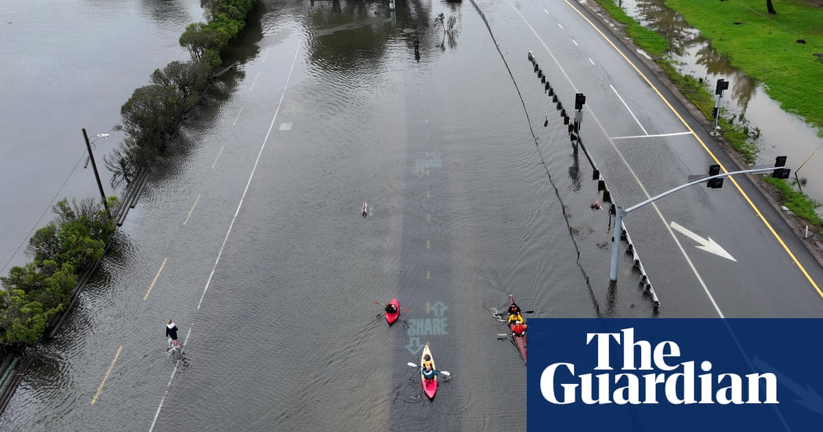
The highway, about half of which is two-lane, is often backed up with people commuting between affordable communities in Solano County to the east and jobs in pricier Sonoma and Marin counties to the west. It also is a regional link to Napa Valley and other destinations, much of it built on embankments, bridges, and causeways that span marshes precariously close to San Pablo Bay. That makes it prone to flooding, which has led to occasional closures.
“I don’t go that route whenever we have the potential of flooding, because I know how crazy it can get,” said Meitzenheimer, a retiree who lives in Vallejo, not far from the highway’s eastern terminus at Interstate 80.
These problems will worsen as the population grows and climate change brings more frequent and intense storms. Without adaptation measures, portions of the road are at risk of permanent inundation by 2050.
The state Department of Transportation and the regional Metropolitan Transportation Commission are pursuing a $500 million project that would, over five years, remake portions of the 21-mile highway. It would replace one of five bridges with one 5 feet taller, raise two one-mile sections by up to 8 inches, add a carpool and bus lane in each direction, and restore a tidal marsh and other ecosystems.