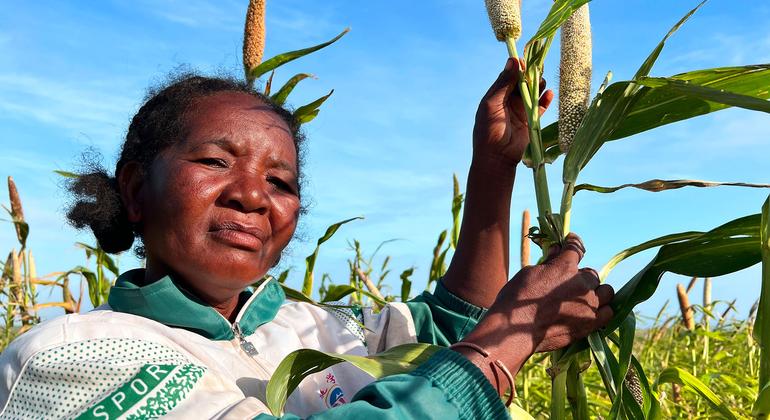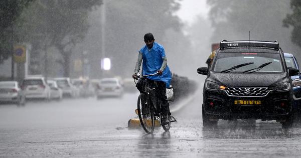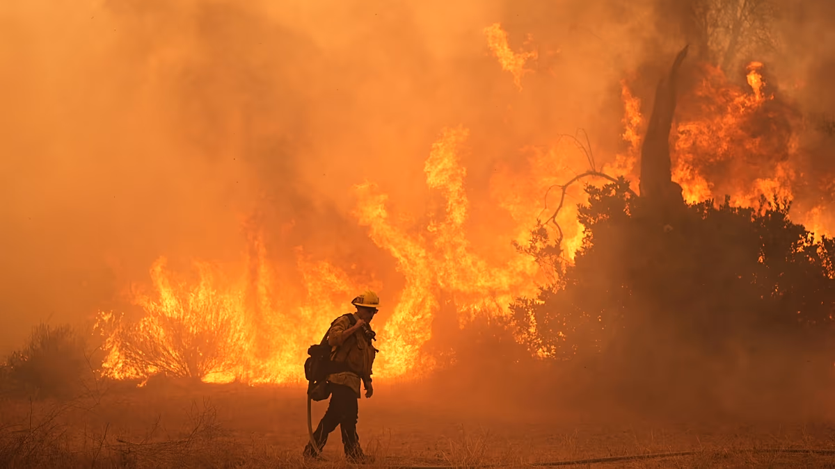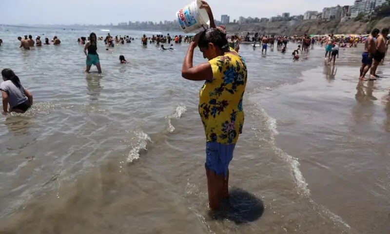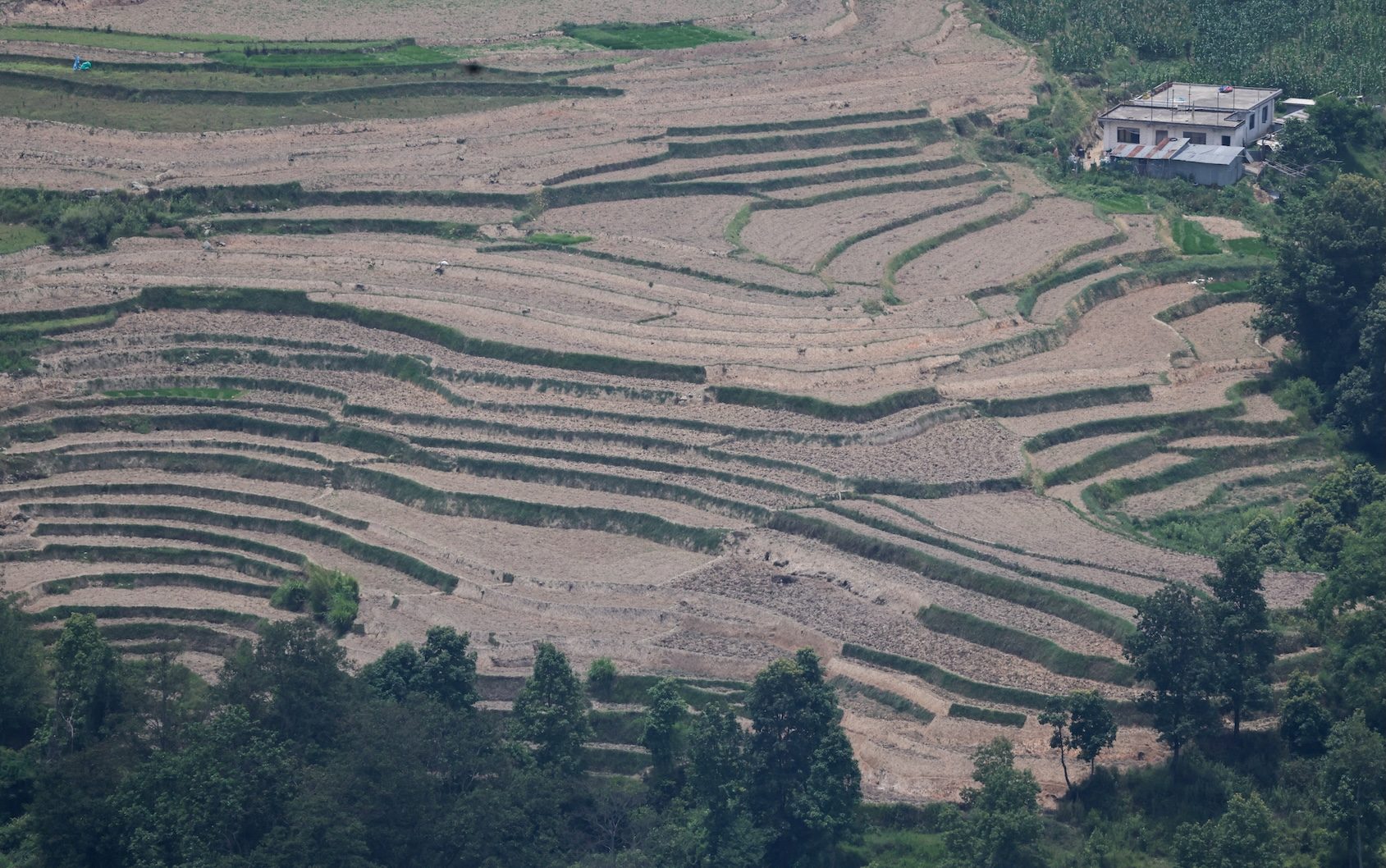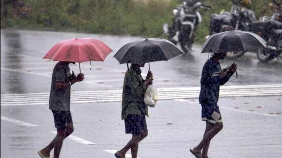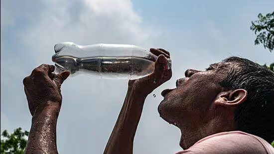
El Niño conditions in the tropical Pacific are forecast to strengthen rapidly over the coming months, increasing the likelihood of heatwaves, droughts, heavy rainfall and other extreme weather events in many parts of the world, the World Meteorological Organization (WMO) said on Friday.El Niño events typically occur every two to seven years and usually last between nine and twelve months. (iStock | Representative)WMO’s monthly ‘WMO Global Seasonal Climate Update’ indicates a rapid development into a strong El Niño event during July-September 2026. Multi-model ensemble forecasts from leading global producing centres indicate a consistent and significant warming of ocean temperatures across the central and eastern equatorial Pacific, with seasonal-average sea-surface temperature anomalies expected to exceed 2°C in key monitoring regions.Also Read: Earth’s climate more out of balance than at any time in observed history: WMOForecast models show remarkable agreement, providing high confidence in the outlook. The El Niño is expected to continue strengthening during the Northern Hemisphere autumn, with its influence extending across many regions of the globe. Meanwhile, the equatorial Atlantic basin is expected to remain generally warmer than average. El Niño is a naturally occurring climate pattern characterized by above-average sea-surface temperatures in the central and eastern equatorial Pacific Ocean.WMO said it is also stepping up coordination, climate information services and early warning support to help governments, humanitarian agencies, climate-sensitive sectors such as agriculture and health, and vulnerable communities prepare for potential impacts.“El Niño conditions are already underway and are forecast to strengthen rapidly into a strong event - as accurately anticipated by WMO forecasts. This will intensify the chances of drought and heavy rainfall and the risk of heatwaves on land and marine heatwaves in many regions of the world,” said WMO Secretary-General Celeste Saulo.“The WMO community has launched an unprecedented mobilization to coordinate activities across the United Nations and at regional level to support governments, humanitarian organizations and climate-sensitive sectors. Advanced seasonal forecasts and early warnings are vital to save lives and cushion the impact on our economies and our communities,” she added.In India, a strong El Niño negatively impacts the monsoon season, while also contributing towards extreme weather events. The India Meteorological Department (IMD) had on June 12 confirmed El Niño conditions have emerged over the equatorial Pacific Ocean, which will impact the rainy season negatively. It had also said the Indian Ocean Dipole (IOD) was neutral, which cannot typically counteract El Niño.India has already seen a 40% monsoon deficit in June, making it the fifth driest June overall since 1901.The forecast for July shows below normal rainfall again – 94% lower than the long period average (LPA). Overall, the IMD has projected this year’s monsoon rainfall to be 90% of the LPA, down to the El Niño.El Niño events typically occur every two to seven years and usually last between nine and twelve months.They often begin developing between March and June, reach peak intensity between November and February, and exert their strongest influence on global temperatures during the year following their onset.
El Niño to amplify in coming months, likelihood of extreme weather events: WMO
In India, a strong El Niño negatively impacts the monsoon season, while also contributing towards extreme weather events | India News
497 words~2 min read