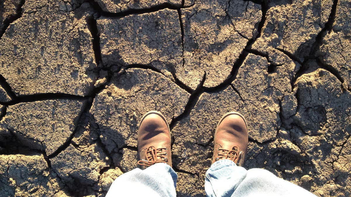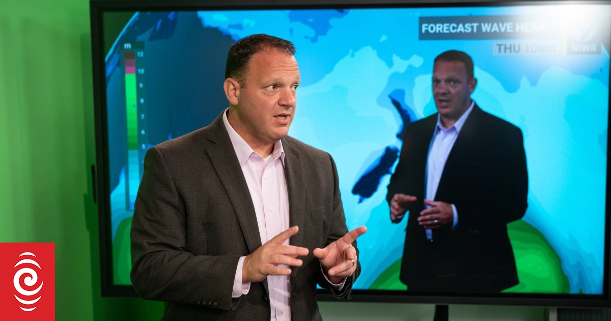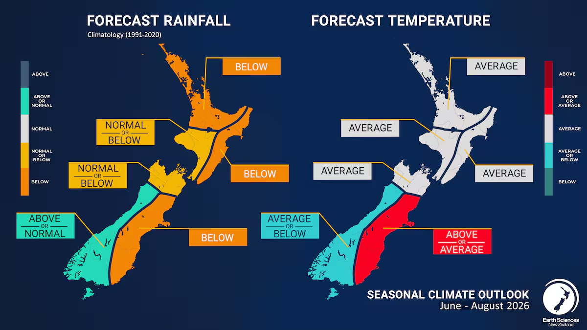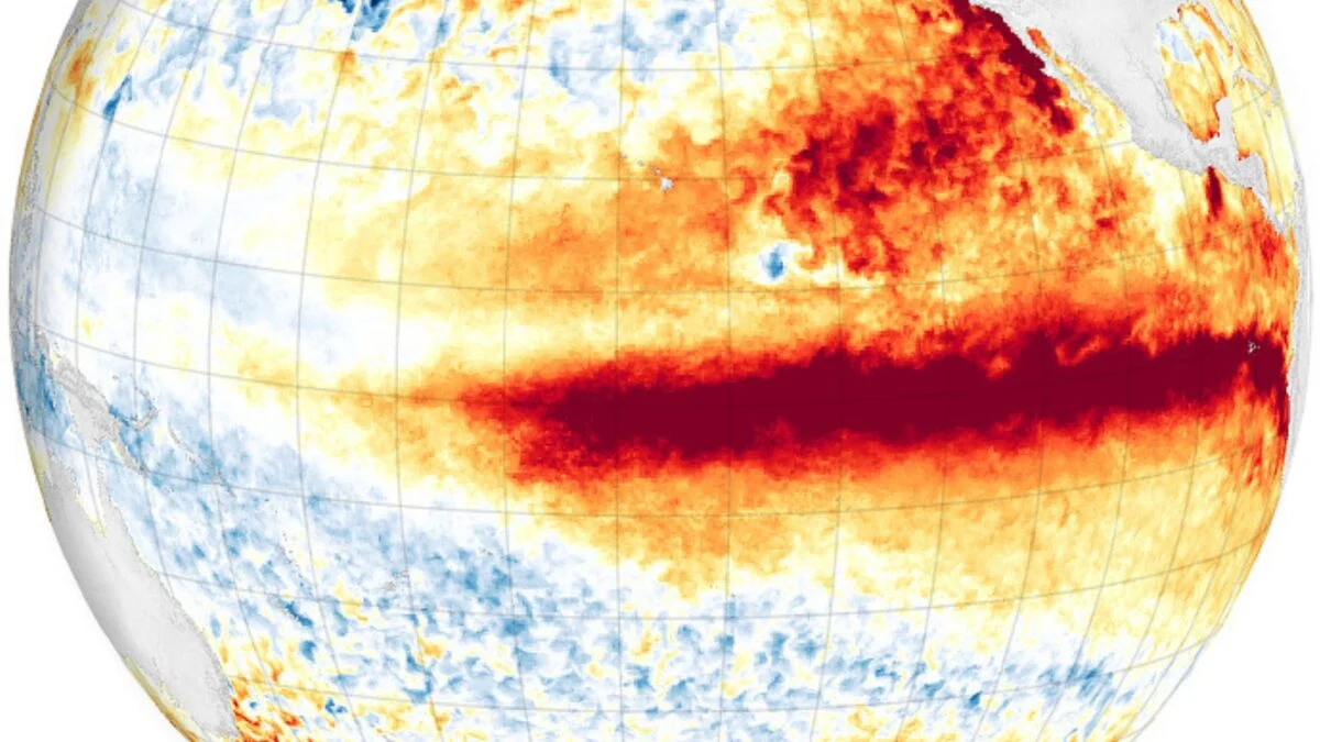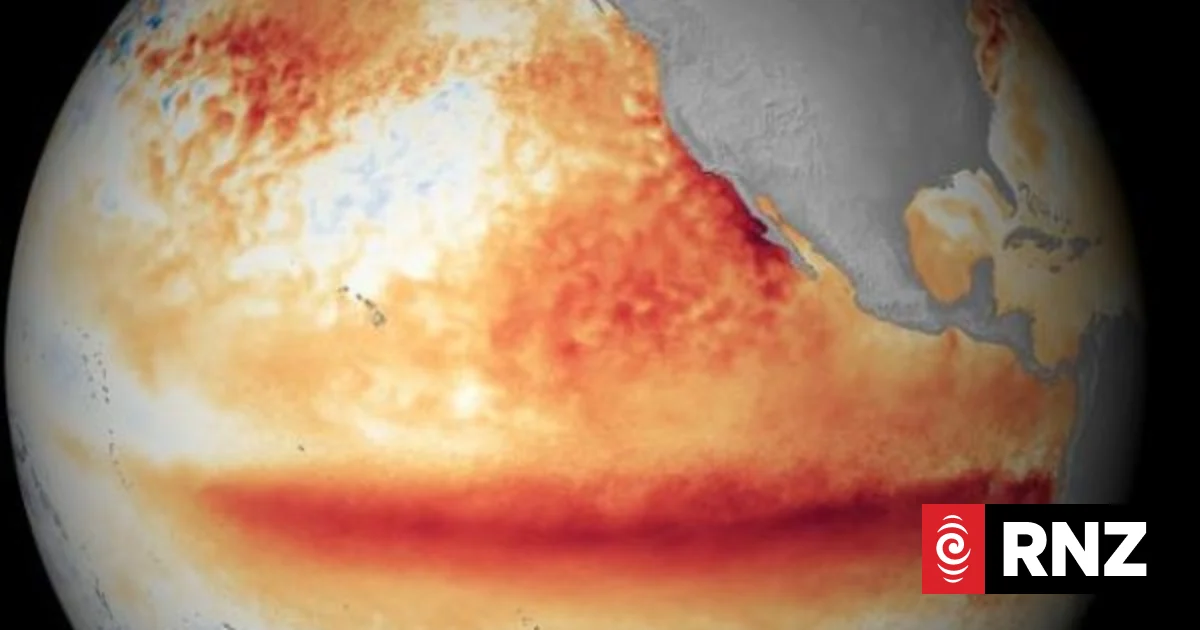
El Niño is officially underway - and could develop into one of the strongest on record.Earth Sciences New Zealand (ESNZ) has followed counterparts in Australia, Japan and the US in declaring an El Niño event, in its seasonal climate outlook released today.It said the climate phenomenon would strongly influence New Zealand's weather during spring and into summer, with "spiky" temperatures in some places.The agency expected drier than usual conditions in the north and east, while some parts of the south and west South Island would likely be wetter than normal.Principal scientist Chris Brandolino said conditions in the Pacific Ocean had now met ESNZ's threshold, with the ocean and atmosphere now "coupled" - with higher than normal sea surface temperatures in the eastern Pacific and weaker trade winds that would normally drive rainfall towards New Zealand.Brandolino said this year's El Niño would, at the very least rival the intensity of the five strongest El Niño events already on the modern record."There are compelling reasons to believe it will exceed that, and it has all the makings to be an historically strong event ... based on what we're seeing in the observations in the ocean as well as the modelling."Summer rainfall patterns in New Zealand during two previous strong El Niño eventsSupplied / ESNZThat did not necessarily translate into equally profound effects on New Zealand but it did increase those odds, he said."When we have these strong or very strong so-called Super El Niños, we tend to find stronger impacts or more profound impacts."There were also other climate drivers that affected New Zealand's weather, but El Niño was currently at the steering wheel, he said.That translated into drier, windier spring conditions across most of the North Island and along the east coast of the South Island.Conversely, it historically meant more rain than usual for Southland and the lower half of the West Coast.Exactly how that played out varied event by event, Brandolino said."Every El Niño event has its own fingerprint, its own personality."The expected effects of El Niño during spring will vary around the country.Supplied / ESNZDespite the long-range forecast, parts of the South Island would first have to contend with a significant rain event next week, which would "help take the edge off" the dry conditions to come."Were it not for this expected rain event for parts of the eastern South Island, boy, they would be in some real dire straits," Brandolino said."Right now, they are in meteorological drought in parts of Canterbury... To have drought in winter, that's really remarkable."Current soil moisture levels were mostly normal in the North Island, he said."That will probably buy some time, but as we get deeper into the calendar year, the effects of increased wind, the effects of reduced rainfall, that will start to become more noticeable."Typical rainfall patterns between July and September when an El Niño event is underway.Supplied / ESNZThe current heatwaves in parts of Europe and the northern hemisphere were also linked in part to El Niño and the hotter Pacific Ocean temperatures. he said."We have heat from the ocean, we have heat in the atmosphere, and all that heat is getting redistributed across the globe."That was happening against a background of climate change-driven temperature increases - meaning the hottest days were getting hotter.New Zealand, too, could expect some unusually warm days."We're going to be seeing our own version of that - perhaps not 40°C or 44°C like we've seen in Europe - but certainly that spikiness is something we're expecting."The country was already seeing historically high temperatures for this time of year."In Bromley... we set a new national June maximum temperature: 26°C a day before the shortest day of the year."
El Niño officially declared in New Zealand
El Niño is officially underway - and could develop into one of the strongest on record.
611 words~3 min read