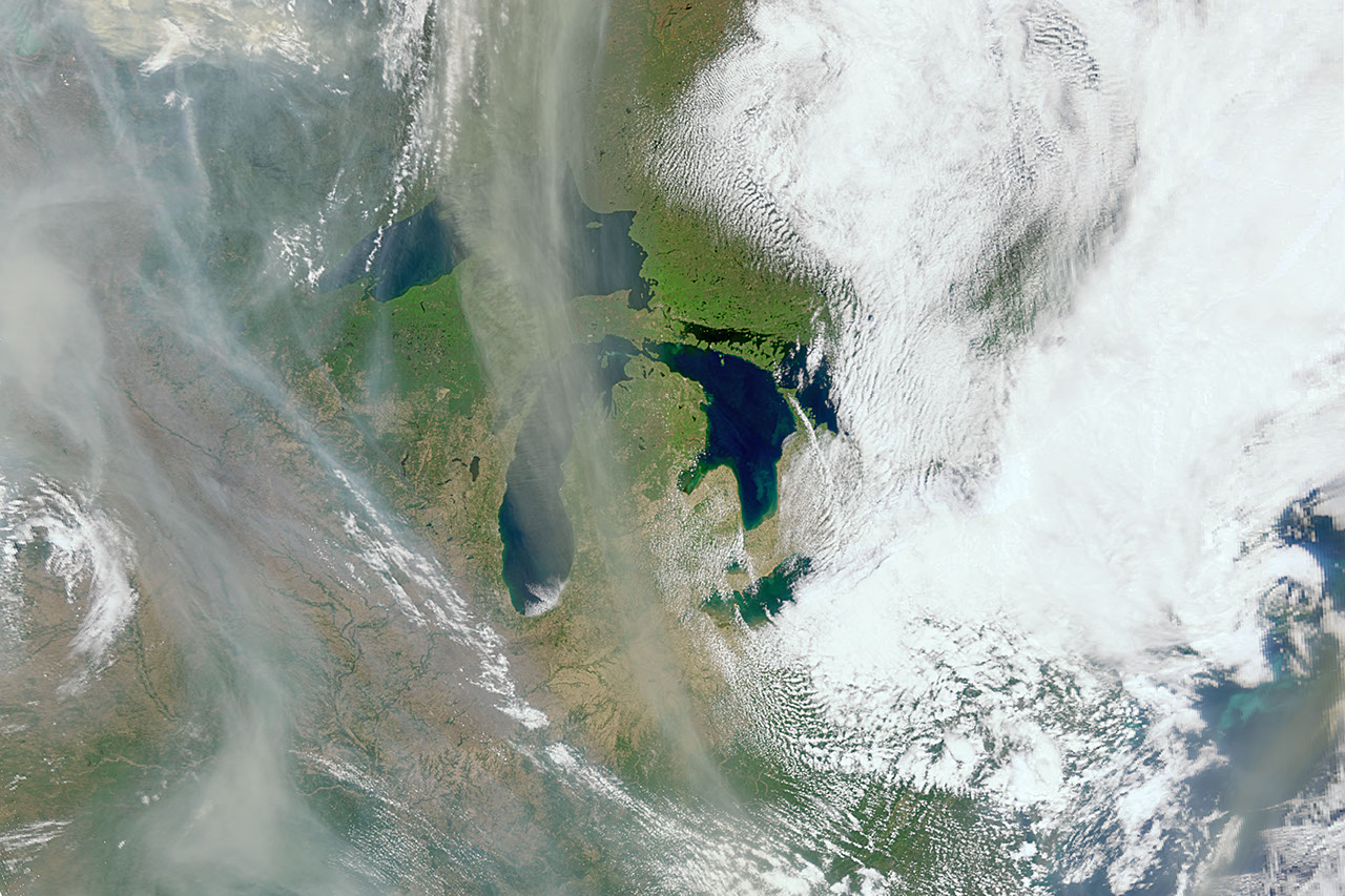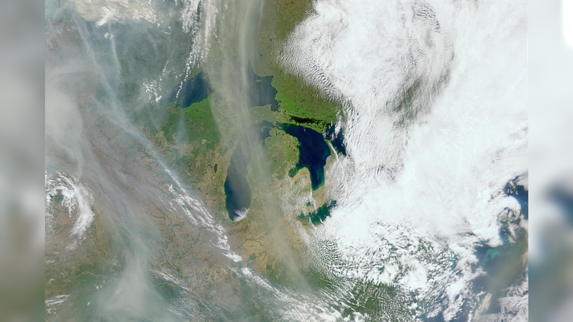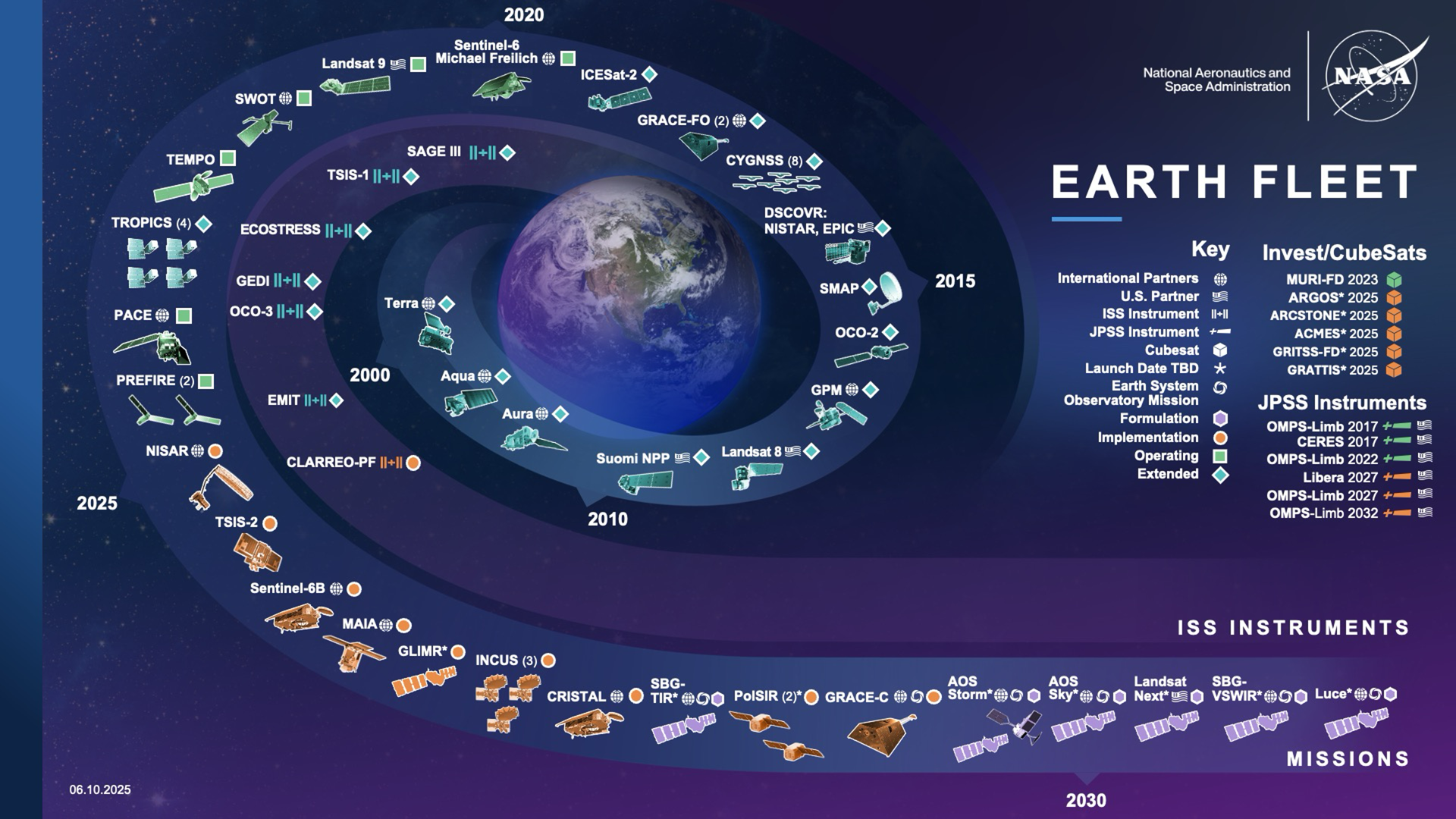
NASA’s Earth-observing satellites track an enormous range of phenomena: how aerosols move through the atmosphere, how moisture descends through soil, how land-cover shifts over decades. It’s some of the most consequential data NASA produces, informing science, policy, agriculture, and climate research around the world.
As NASA’s Earth Science Division (ESD) manages this vast portfolio, they operate within an environment marked by significant complexity. This system-of-systems is continually evolving as mission requirements develop, new capabilities come online while others are retired, and international partnerships shift over time. All of this happens against a backdrop of deep uncertainty in technology readiness, launch opportunities, and resource availability.
“It reaches more people than most realize. The farmers who are growing your food use the data from these satellites.”
“ESD leadership is constantly navigating this complicated landscape,” says Betsy Ford, a decision analyst and Deputy Team Lead for the NASA Earth Science Strategic Integration Environment (NESSIE) team within the Systems Analysis and Concepts Directorate (SACD) at NASA’s Langley Research Center. “Our work focuses on integrating information across the broad system-of-systems so that these decision-makers can visualize the current state, how things could evolve, and how all of it lines up against NASA’s long-term scientific priorities.”