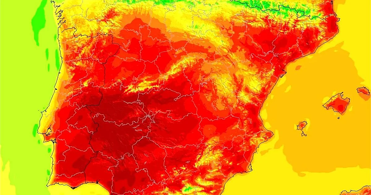
The respite will be short-lived. Spain's national meteorological agency (Aemet) has warned that a "warmer-than-normal" air mass is set to settle over the Iberian Peninsula in the coming days and threatens to bring back the most intense heat just in time for the weekend.
It will not arrive all at once, nor will it affect all areas equally. Northern Spain, for instance, will be one of the few exceptions. The Atlantic seaboard, with its cloud cover and winds, will act as a buffer and maintain "a milder atmosphere" while the rest of the country starts to swelter.
Forecasts indicate that the upswing will be particularly intense from the start of July. Weather models point to highs that could reach 42ºC in Seville on Thursday, while Badajoz will hover around 41ºC and Córdoba around 40ºC.
Other inland provincial capitals, such as Toledo, Ciudad Real, Jaén and Cáceres, could also come very close to that threshold, with forecast temperatures between 38 and 39ºC.
What does "warmer-than-normal" air mean?