Published on
29/06/2026 - 10:50 GMT+2
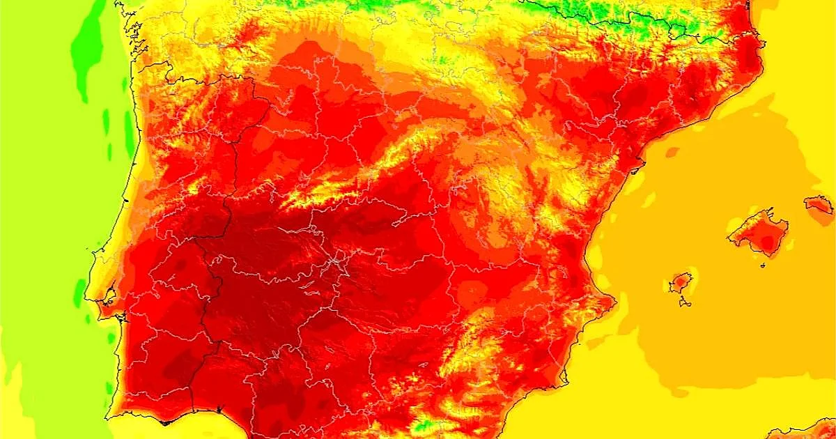
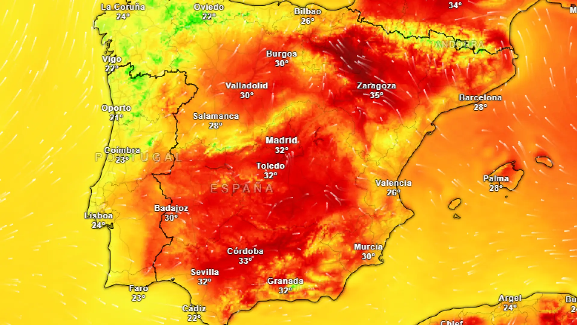
The respite will be short-lived. The State Meteorological Agency (AEMET) has already warned via its social networks that a mass of air "warmer than normal" is going to settle over the Iberian Peninsula in the coming days, threatening to bring back the most intense heat just in time for the weekend.
It will not arrive all at once, nor affect all areas equally. The north, for instance, will be one of the few exceptions. Along the Atlantic seaboard, with its cloud cover and winds, a barrier effect will keep "more moderate" conditions while the rest of the country starts to swelter.
What does "warmer-than-normal air" actually mean?