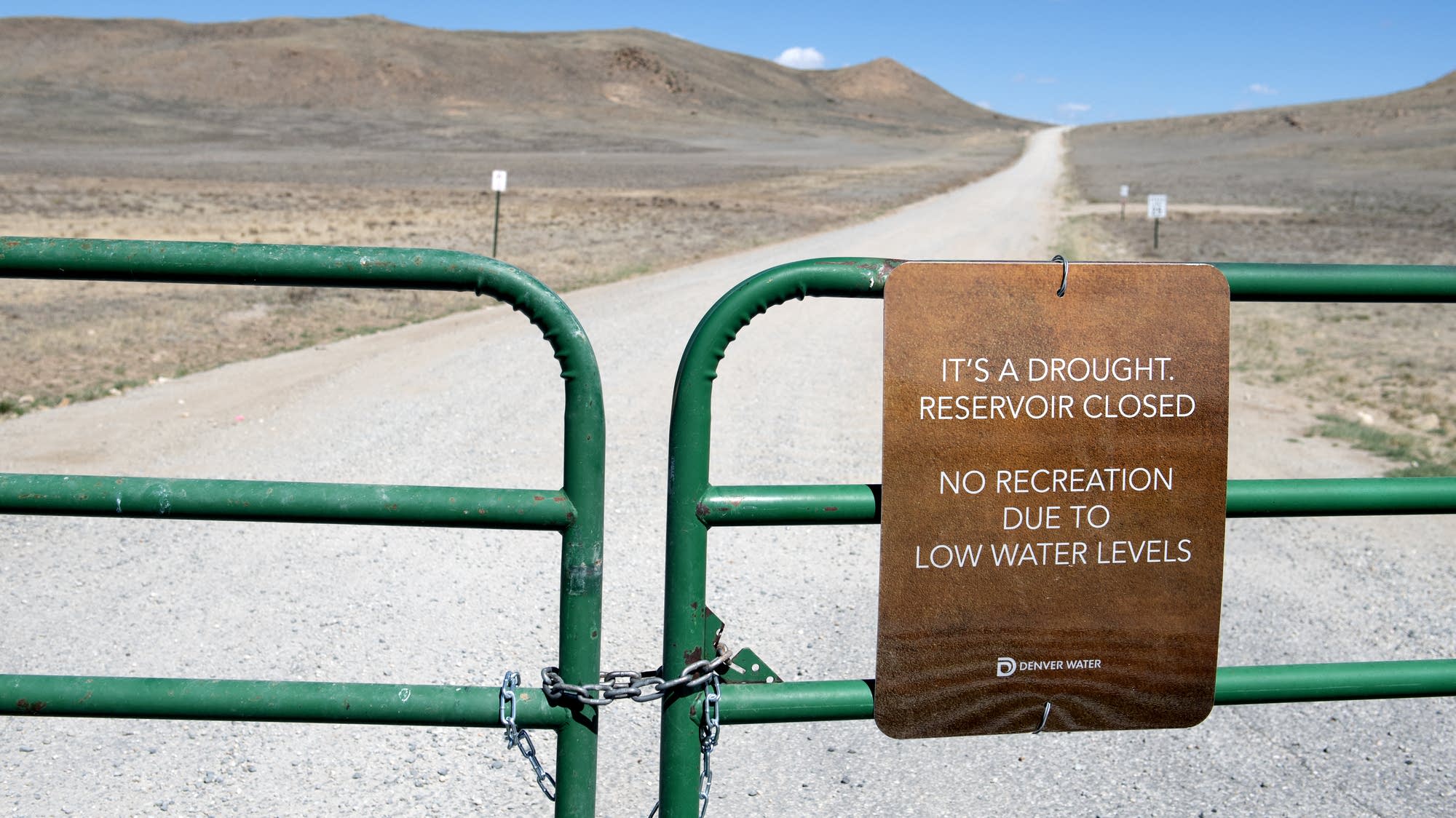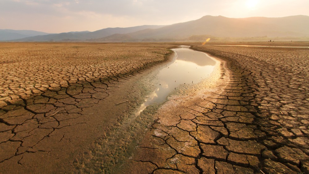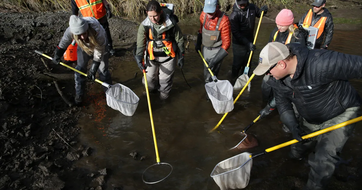
Every year, about 90% of Central Oregon’s Deschutes River disappears into networks of canals and pipes traversing high desert. Between April and October, what’s left in this major river — one of the largest spring-fed waterways in the U.S. — looks more like a creek trickling out of Bend, Oregon.
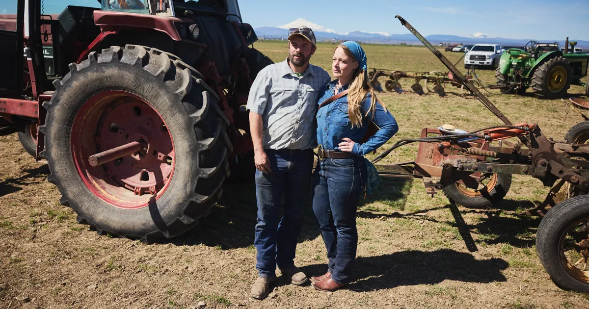
Six irrigation districts — quasi-public corporations — divert the water to green up the properties of about 7,500 landowners in one of the state’s driest regions. Of the six, none is as powerful as the Central Oregon Irrigation District. It has rights to use more than half of the Deschutes’ volume — more than all the other districts combined. And under state law, in times of scarcity, most of the others must cut back to protect COID’s share of the river.
During the last drought, state water law forced commercial farmers downstream to fallow their land while COID diverted four times what its landowners’ crops consumed, an Oregon Public Broadcasting and ProPublica analysis of state data found.
Our analysis showed similar ratios across both wet and dry years, roughly aligning with estimates of what COID told the state its crops required. While state water managers did not dispute our analysis, the irrigation district said it didn’t trust the satellite-based data we used, which Oregon lawmakers backed to study water availability.