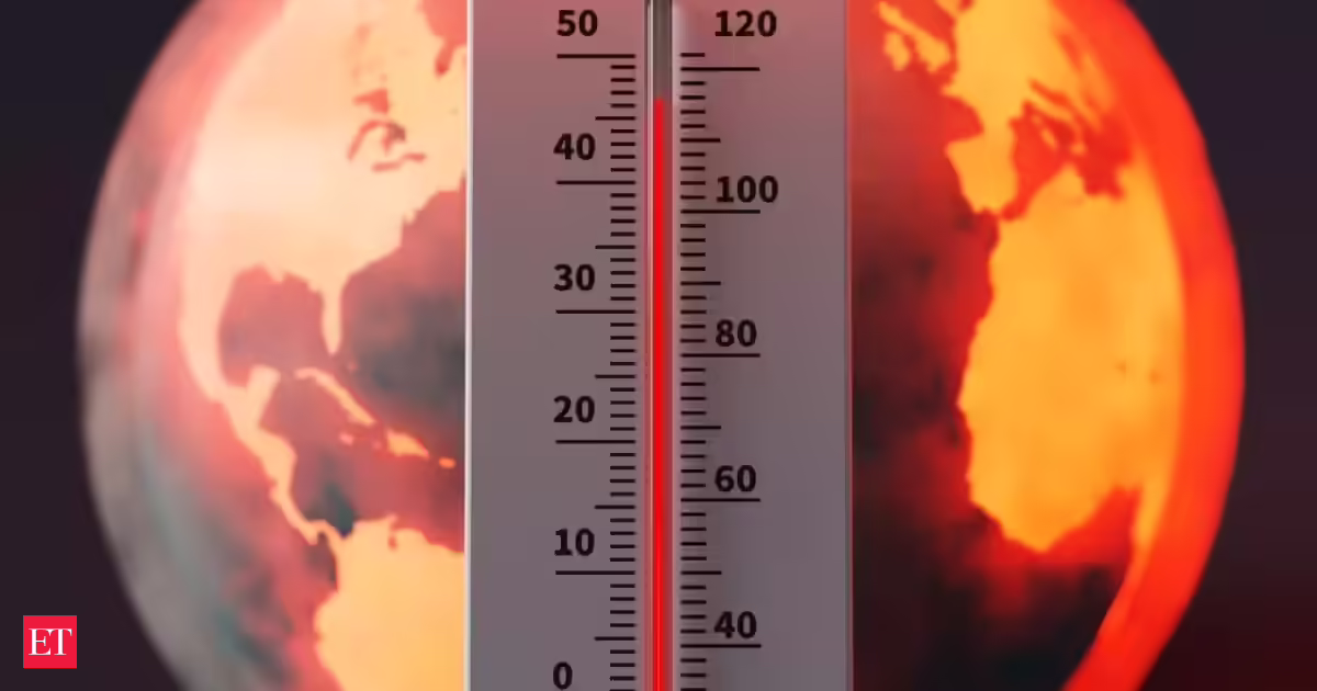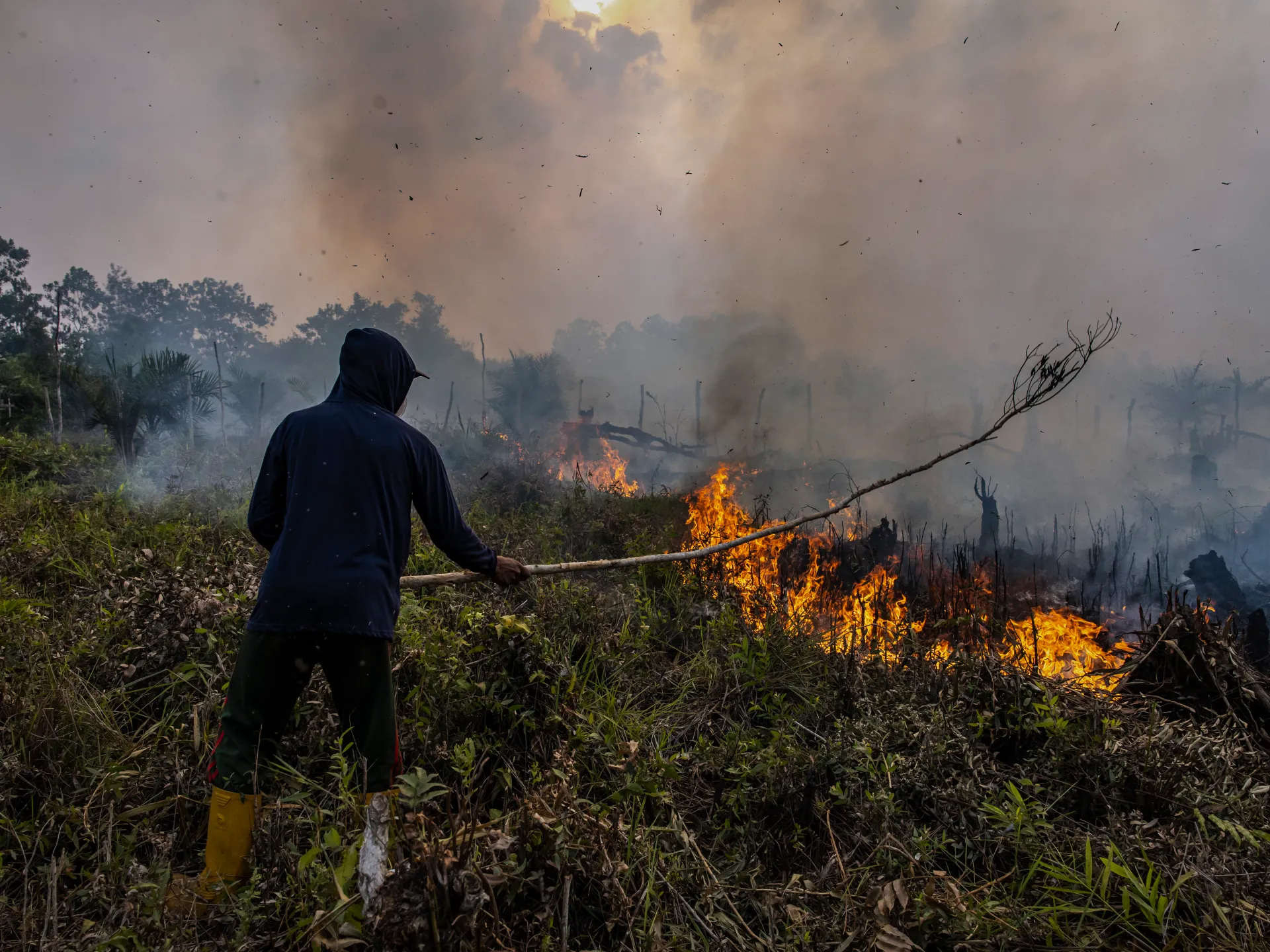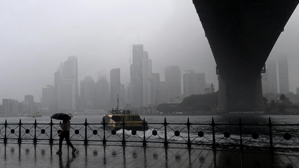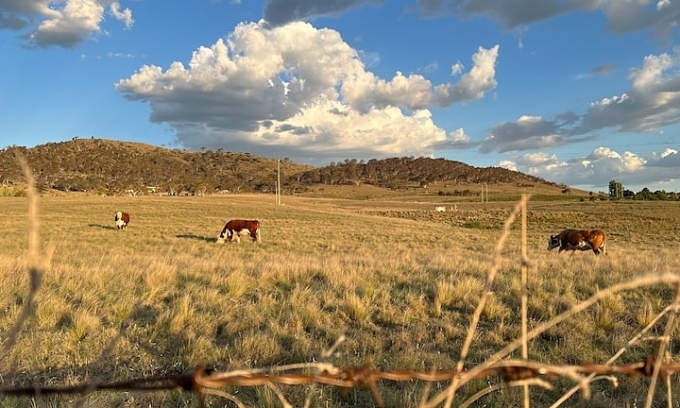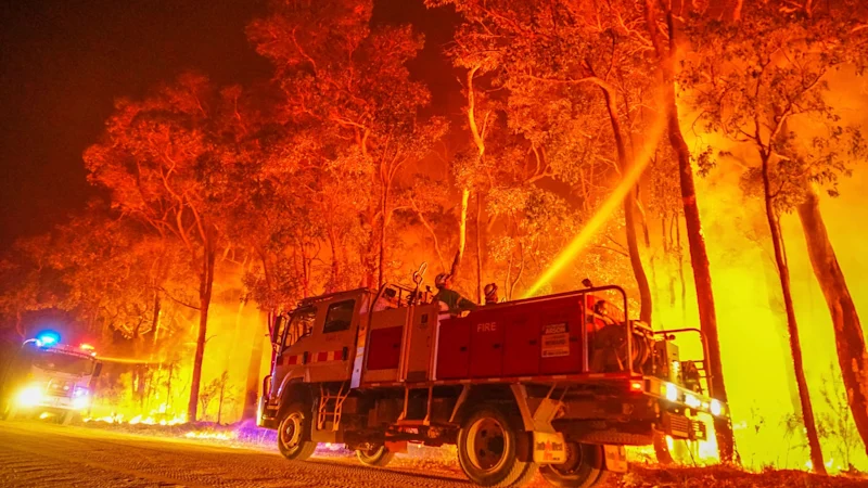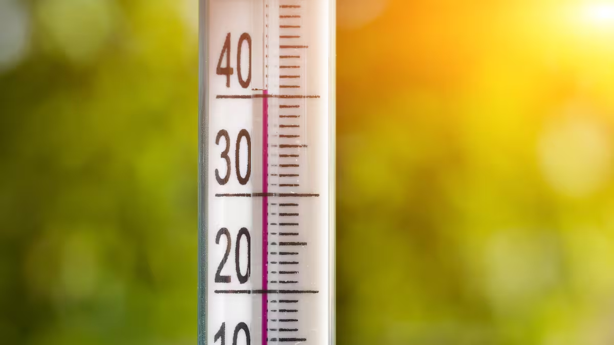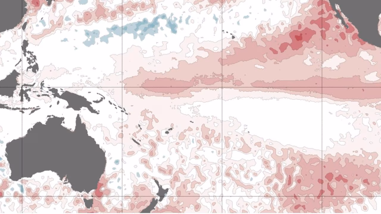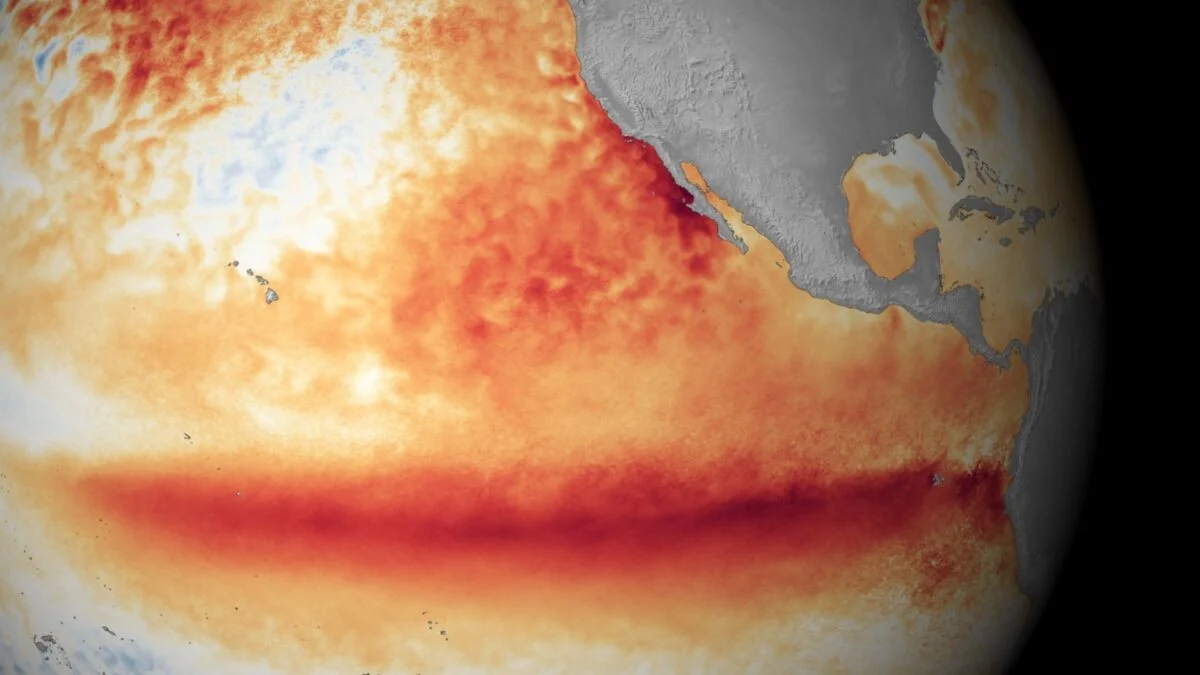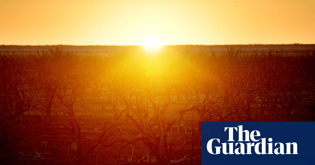
The Bureau of Meteorology (BoM) has declared an El Niño event — and some dramatic labels are starting to emerge.Terms like 'super El Niño' and, in some overseas reporting, 'Godzilla El Niño' have been used in some media reporting to describe a potentially powerful climate pattern.But Australian scientists say the language can sometimes give the wrong impression. Super El Niño is an informal meteorological term rather than a specific scientific classification, and researchers say the strength of an El Niño event does not automatically translate into stronger impacts for Australia.What makes an El Niño 'super'?El Niño and La Niña are opposite phases of the El Niño–Southern Oscillation (ENSO), a naturally occurring climate pattern driven by interactions between the Pacific Ocean and atmosphere.News that makes senseYour trusted source for staying up-to-date with the world around you. Get free daily news updates and analysis, straight to your inbox.El Niño develops when sea surface temperatures in parts of the tropical Pacific become warmer than average and atmospheric conditions shift alongside them.Historically, El Niño has been associated with warmer and drier conditions across parts of Australia.CSIRO senior research scientist Dr Carly Tozer said the term 'super El Niño' was originally coined by scientists to describe when sea surface temperatures in the tropical Pacific exceed 2C.However, she said operational forecasting more commonly refers to events as 'strong' or 'very strong'. The World Meteorological Organization also does not use 'super El Niño' as part of its standard operational classifications.The BoM similarly says descriptions such as 'super', 'rare' or 'unusual' are not used in its ENSO classifications.Instead, forecasters assess a range of indicators — including ocean temperatures, atmospheric conditions and long-range climate outlooks, to understand how conditions may evolve.The bureau says the impact of each El Niño varies, and that the strength of an event does not always align with its effects on Australia’s weather and climate.That means a weaker El Niño can still bring significant changes to rainfall and temperatures, while a stronger event may produce fewer noticeable impacts.Scientists say ocean temperatures alone are also not enough to determine whether El Niño conditions have fully developed, with atmospheric signals such as trade winds, pressure patterns and cloud activity needing to shift in tandem.Why a stronger El Niño doesn’t always mean stronger impactsExperts say one of the biggest misconceptions surrounding terms like super El Niño is the assumption that a stronger Pacific Ocean signal automatically means more severe outcomes.Tozer said that's not necessarily the case."It's important to remember that the strength of the El Niño does not necessarily equate to the strength of the impact in Australia," she said.She said El Niño should be understood as one influence among many."El Niño is only one factor associated with drought in Australia."An El Niño points to possible drier conditions and an increased risk of drought. Droughts occur after an extended period, such as more than a year, of much lower-than-average rainfall."The BoM has similarly warned that the impact of every El Niño differs, and stronger events do not always correspond with stronger effects on rainfall and temperature.Why Australia doesn't experience El Niño evenlyScientists say the term can also be misleading because Australian weather outcomes depend heavily on where people live.Tozer said El Niño was a useful indicator of dry conditions across eastern Australia broadly, but local impacts could vary substantially.She said parts of northern and south-east Australia, including the Murray–Darling Basin, often see a greater likelihood of a dry spring during El Niño conditions.But she said large parts of Western Australia, western Tasmania and the eastern seaboard may see little change in their normal chances of dry conditions.El Niño is only part of the pictureExperts say focusing too heavily on El Niño can also risk overlooking the broader climate system.Tozer said multiple factors shape Australian weather and climate outcomes."While El Niño plays a large role in moderating Australia's climate, it's not the only driver of dry conditions in Australia."Other processes like the Indian Ocean Dipole, Southern Annular Mode and related or unrelated weather systems all contribute to Australia's climate variability."The BoM similarly notes that long-range forecasts incorporate multiple climate drivers rather than relying solely on ENSO indicators.Forecasters also say uncertainty remains around how conditions may evolve later this year.Forecasts matter more than nicknamesFor scientists, the message is not to ignore El Niño, but rather acknowledge that labels like 'super' or 'Godzilla' should not be treated as a shortcut for certainty.Weather outcomes remain dependent on how multiple climate systems interact, and forecasts continue to evolve.For Australians, experts say regularly updated outlooks remain a more useful guide than dramatic weather nicknames.For the latest from SBS News, download our app and subscribe to our newsletter.
Australia faces an El Niño. But the hype may be getting ahead of the forecast
Experts warn terms like 'super El Niño' can oversimplify forecasts and Australian impacts.
773 words~4 min read