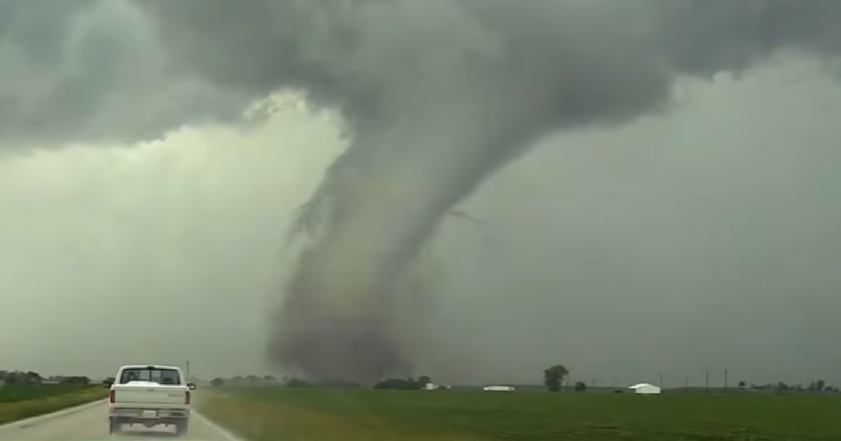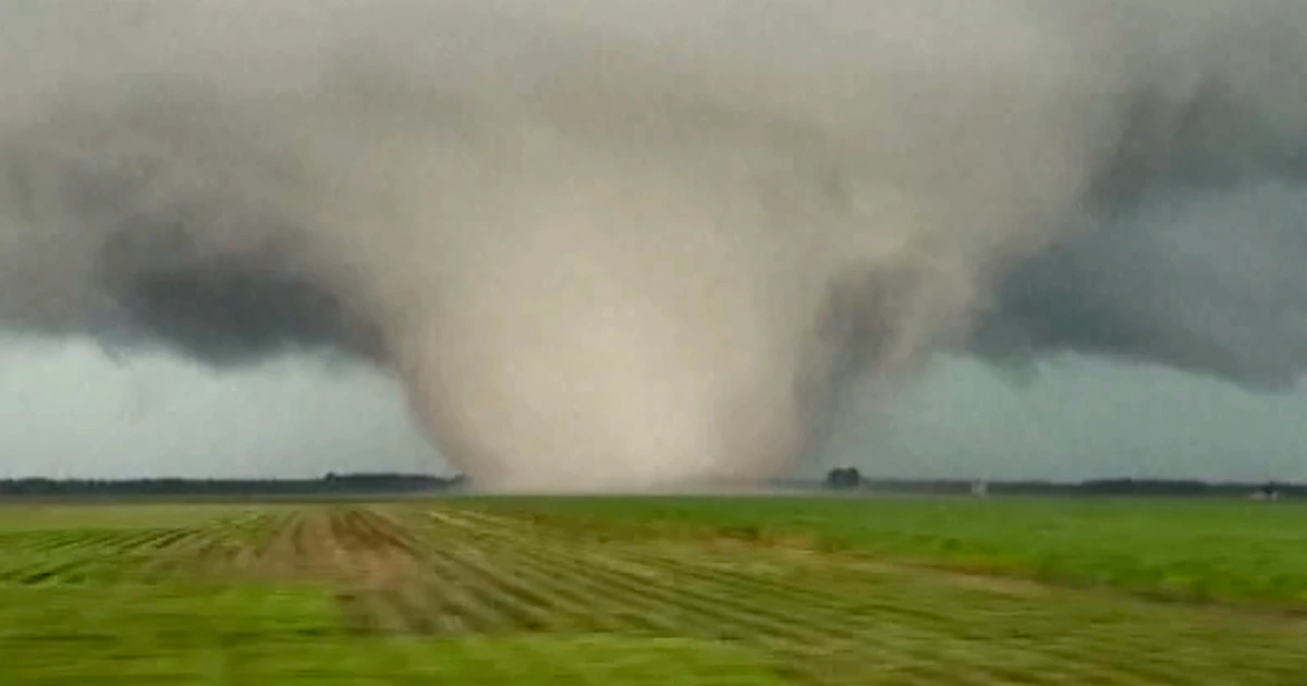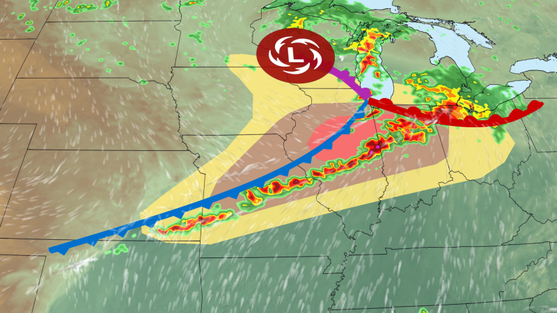
A severe thunderstorm outbreak fueled by an unusually strong storm system for June is possible Wednesday in the Midwest with intense, long-lived tornadoes, large hail and widespread damaging wind gusts all on the table.
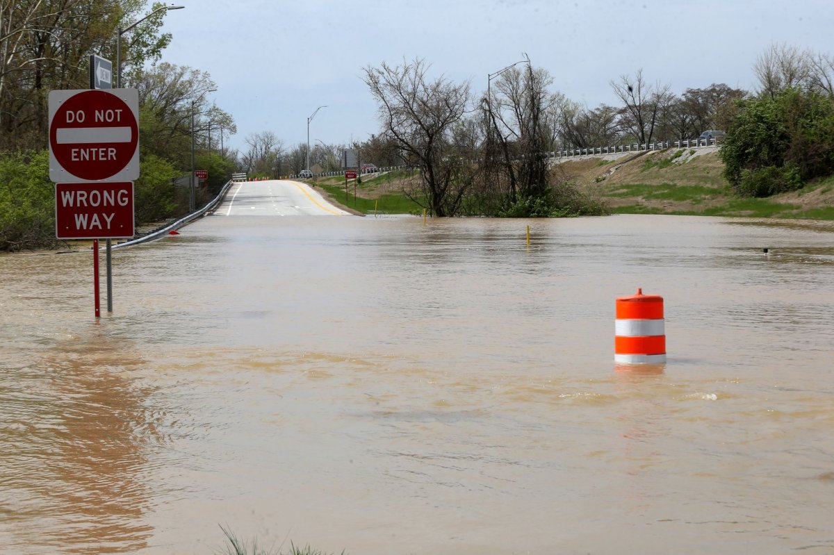
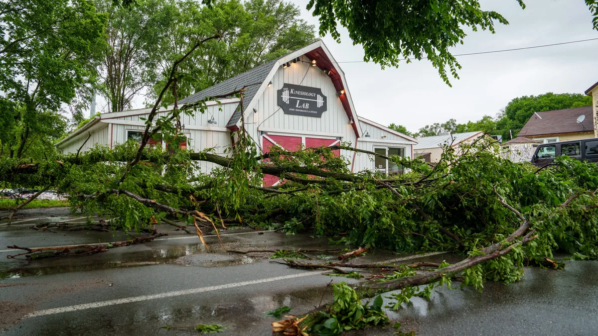
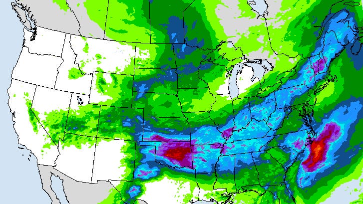
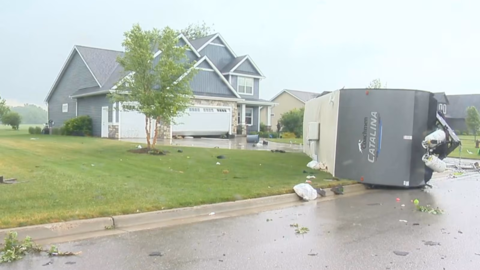
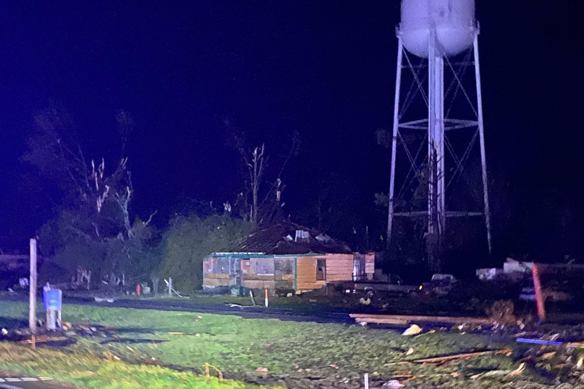
The new threat adds insult to injury for a weather-weary region that can’t seem to catch a meaningful break this month: A multi-day siege of storms last week produced more than 1,500 reports of wind, hail and tornadoes in the central United States.
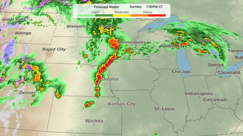
Wednesday’s most concerning threat will roar to life in the afternoon, but some potent storms will bubble up in the morning too in parts of southern Minnesota and eastern Iowa.
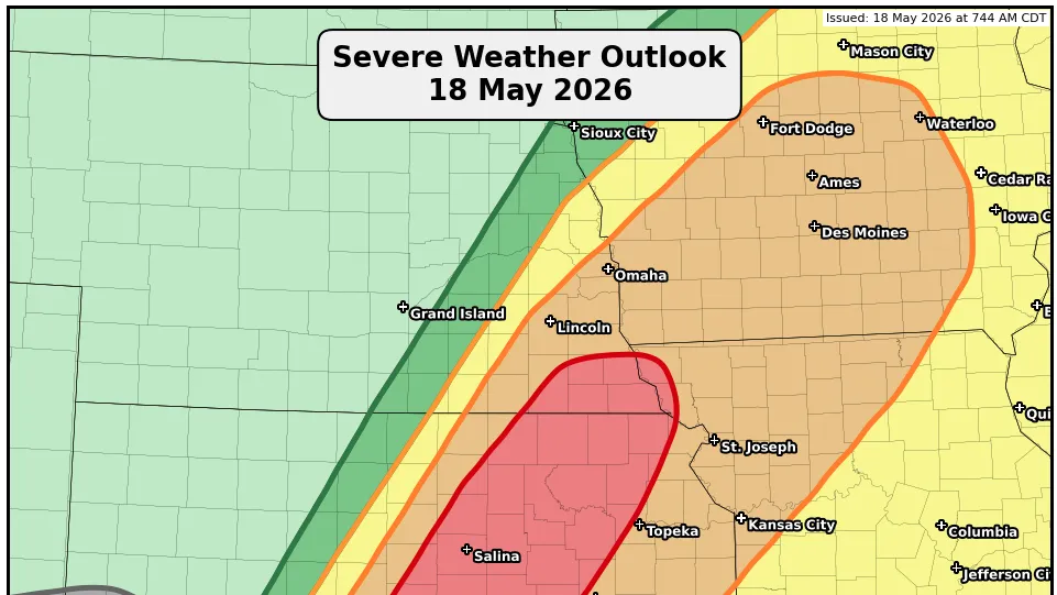
The storm threat will push east from there and center mainly on an area from Missouri to Indiana in the afternoon and early evening. A Level 4 out of 5 risk of severe thunderstorms is in place for parts of central and northern Illinois and northwestern Indiana, while the rest of the area is mostly under a Level 3 of 5 risk.
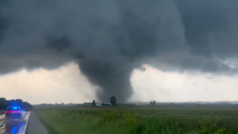
Supercell thunderstorms are expected to charge through these areas.