view more
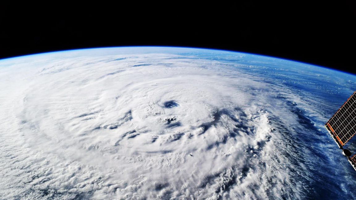
Traditional global climate models were like early digital cameras — they had only about ten thousand pixels to cover the entire planet. At that low resolution, big storm systems looked like blurry blobs. You couldn't see their true shape, how long they lasted, or where they dumped the heaviest rain.
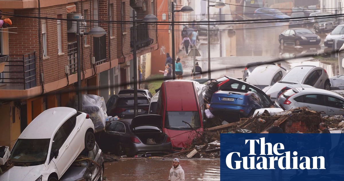
That created serious problems. Because those coarse models couldn't directly simulate thunderstorms, they had to rely on rough approximations, called “convective parameterization schemes” — and those often failed. They produced too much light drizzle, missed extreme downpours, got the timing of rain wrong, and completely failed to capture the large, organized clusters of thunderstorms known as mesoscale convective systems (MCSs). Those MCSs are exactly what cause most flash floods, damaging winds, and record-breaking rain events.
Now, next‑generation "kilometer‑scale" models have jumped to over 50 million pixels per global layer — roughly 2.8 km (about 1.7 miles) of resolution. That's sharp enough to see individual thunderstorm updrafts and rainbands directly, without guesswork.
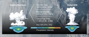
With climate change driving extreme weather toward "more frequent, more severe," scientists urgently need to know: do these sharp new models actually get storms right?