See more Daily Mail on Google - save us as a Preferred SourceBy MARK DUELL, DEPUTY CHIEF REPORTER (DIGITAL) Published: 11:03 BST, 15 June 2026 | Updated: 13:58 BST, 15 June 2026
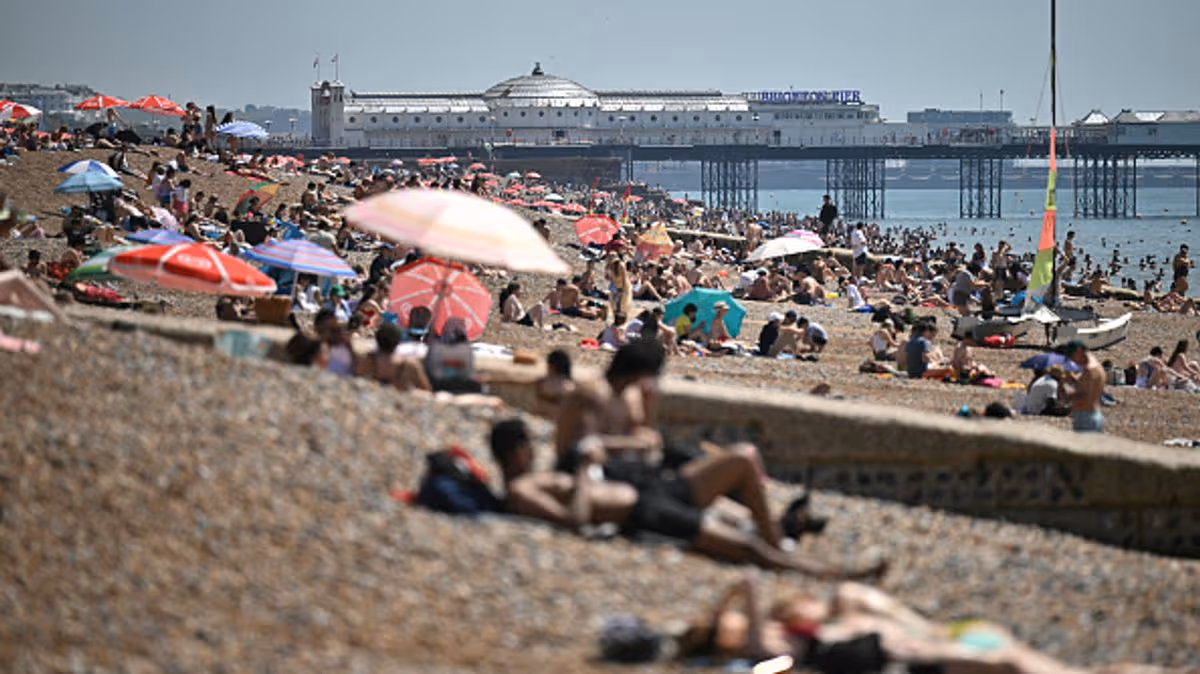
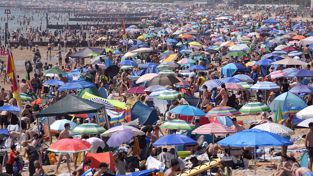
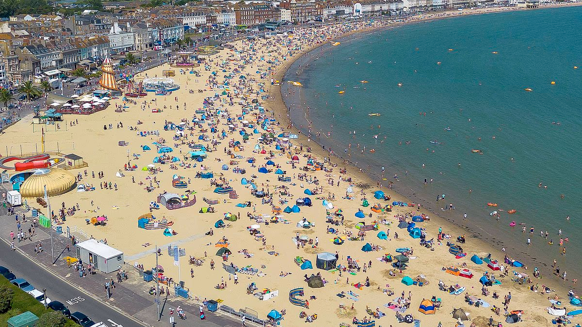
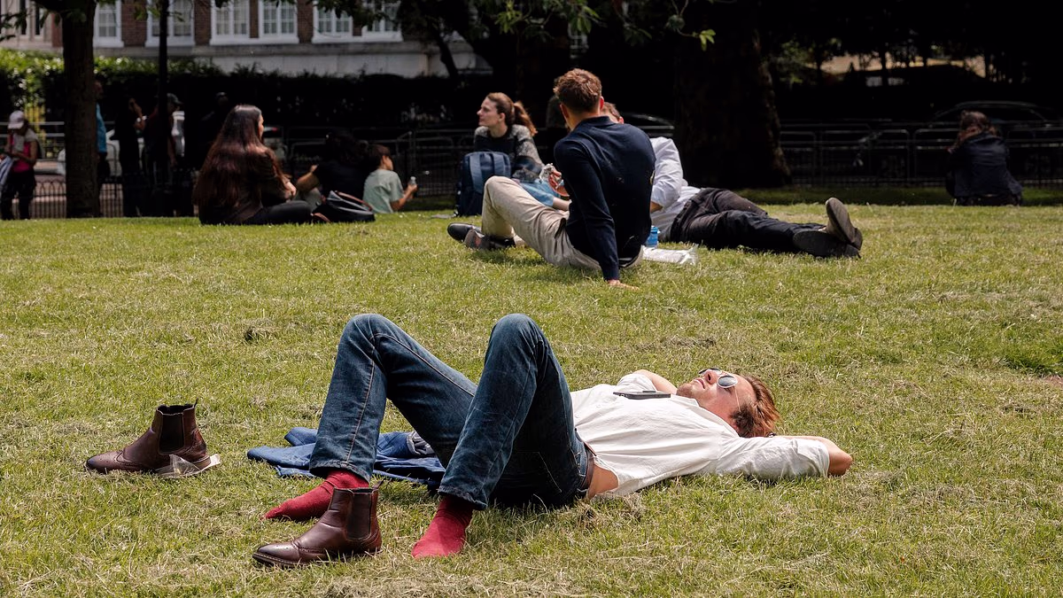
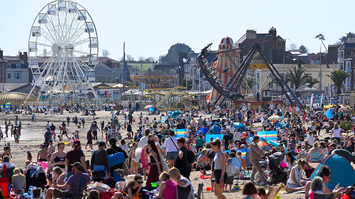
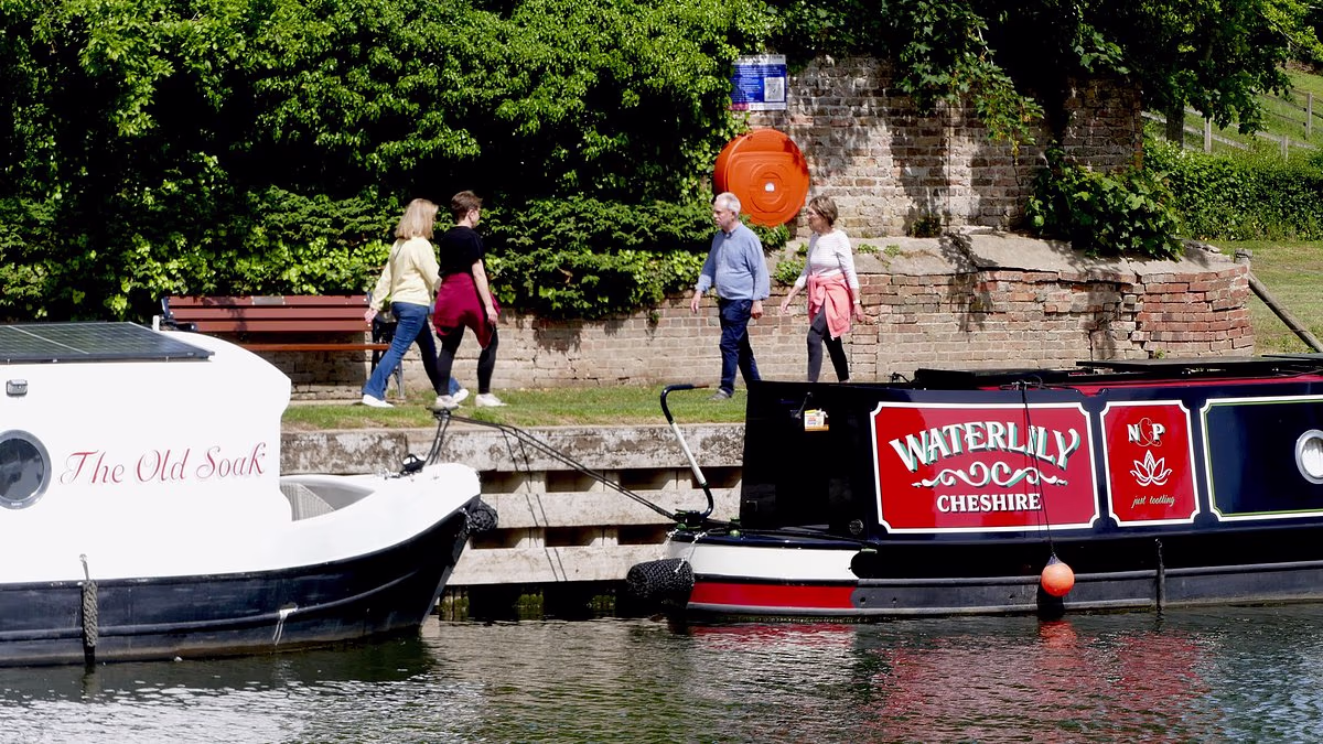
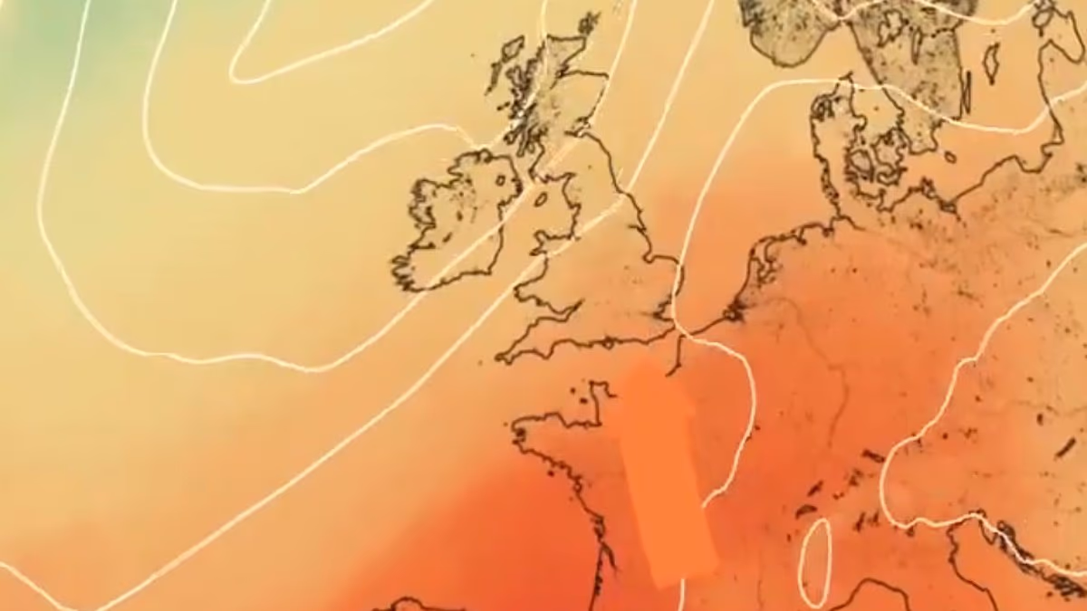
Britain was today warned to expect its second heatwave of the year from Thursday as temperatures soar towards 30C and Government officials issue health alerts.Parts of southern England and the Midlands are most likely to experience the very hot weather which is anticipated to last for at least four days until Sunday.Yellow heat health alerts will be activated for the South East, East, East Midlands and London from Wednesday afternoon, the UK Health Security Agency confirmed today.The alerts, which warn of some impacts on health and social care services including a 'greater risk to life of vulnerable people', will run until next Monday. Officials also said 'water‑related incidents' such as cold‑water shock and drowning could increase.The Met Office said the South and South East of the country are likely to see thermometers rise over the coming days to reach 28C or higher by Thursday.The heatwave threshold - defined as three consecutive days at or above a set temperature, which is 28C in London - could be reached in the South by Saturday.It comes three weeks after a record-breaking heatwave saw England and Wales record their hottest ever day in May with highs of 35.1C and 32.9C respectively.Last Monday, the Met Office was also forecasting a heatwave for the weekend just gone, but temperatures ended up only hitting 24.1C – well below the threshold. People sit on a bench at Wimbledon Common in London yesterday as they enjoy the warmth The Met Office forecast for London shows temperatures will soar towards 30C this weekend The UKHSA said yellow heat health alerts will be activated from Wednesday afternoon The heatwave threshold is defined as three consecutive days at or above a set temperatureThree weeks ago people flocked to Bournemouth beach to enjoy the heat on Monday, May 25Conditions will be dry and settled for most areas today, but cloudy and cooler weather is expected in the North East with a chance of showers and thunderstorms.Further cloud and rain could spread from the west tomorrow.Met Office meteorologist Honor Criswick said high pressure building across the UK will bring warm and humid conditions, with temperatures climbing above the seasonal average in some areas.She added: 'Throughout the week things are heating up in the south and South East. We've got high pressure starting to build and there's a warm plume moving up through continental Europe.'Whether or not it'll be a heatwave remains to be seen as there's still a lot to play for, but things are certainly turning a lot warmer, if not maybe even hot, by the end of the week, although this is mostly confined to the South East.'Other areas will warm up, but it's also very humid so they are likely to be cloudy, with rain and showers. By Thursday we're looking at around 28C in London, so certainly pushing into the high 20s.'The heatwave last month saw temperatures on May 26 of 35.1C at Kew Gardens in London and 32.9C at Bute Park in Cardiff.This came at the end of meteorological spring, which finished on May 31. England and Wales had their warmest spring on record thanks partly to the heatwave.The UK had four heatwaves in 2025 - two in June, one in July and one in August. The country's highest temperature of last year was 35.8C at Faversham in Kent on July 1.