Audio By Vocalize
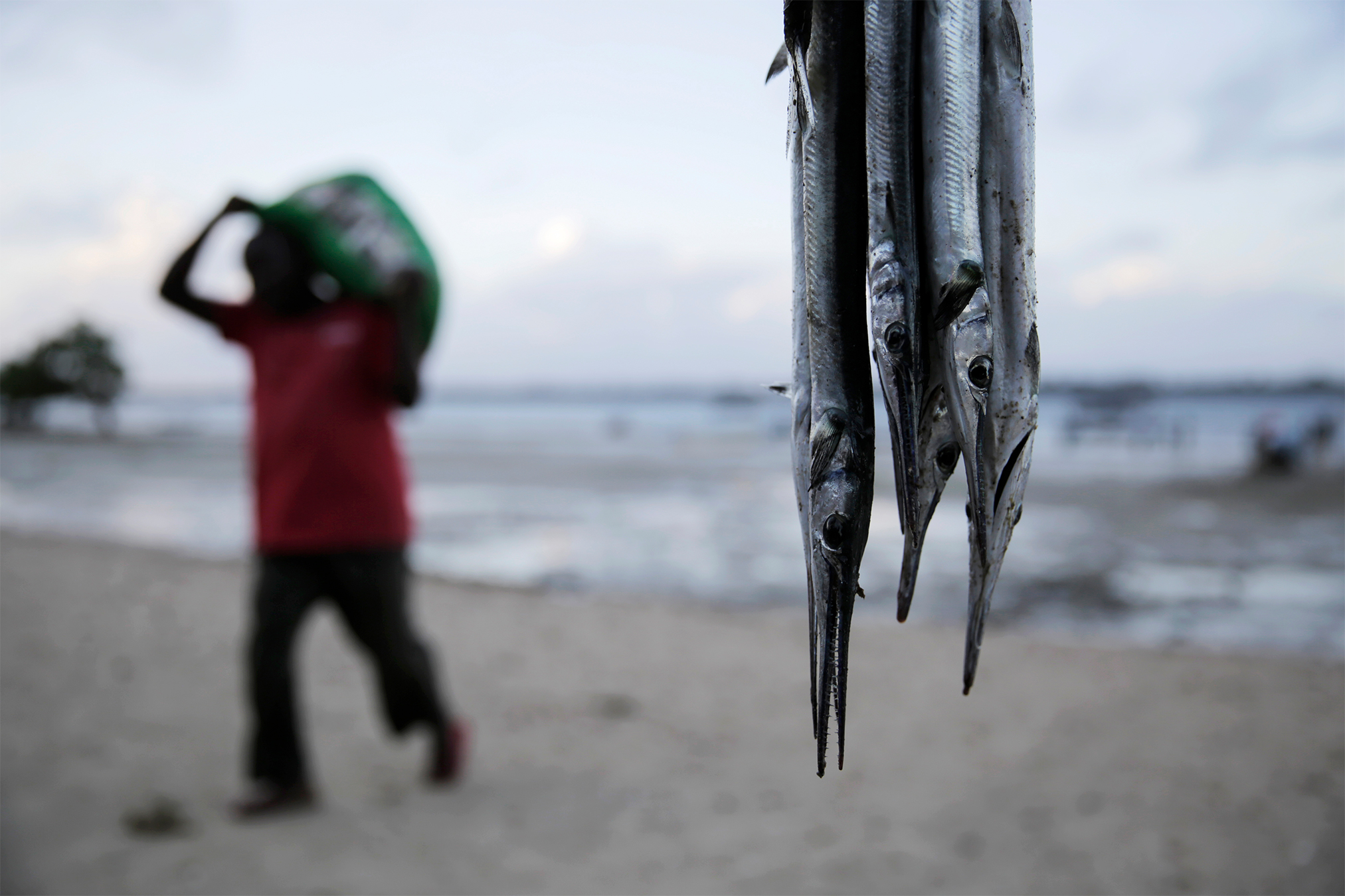
Kenya to develop its first Marine Spatial Plan (MSP).[File, Standard]
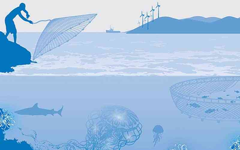
Through the Kenya Marine and Fisheries and Socio-Economic Development Project (KEMFSED), Kenya is advancing the development of its first Marine Spatial Plan (MSP), a comprehensive map designed to guide present and future human activities along the country’s coastline.
The geographical scope of the MSP covers the land–sea interface, internal waters up to the high-water mark adjacent to the coastal counties of Mombasa, Kwale, Kilifi, Tana River and Lamu, as well as the territorial sea, the Exclusive Economic Zone (EEZ) and the extended continental shelf.
The plan is expected to provide a structured framework for balancing conservation with economic use of marine resources.