Unable to return, displaced southern Lebanese turn to satellite images to check on homes
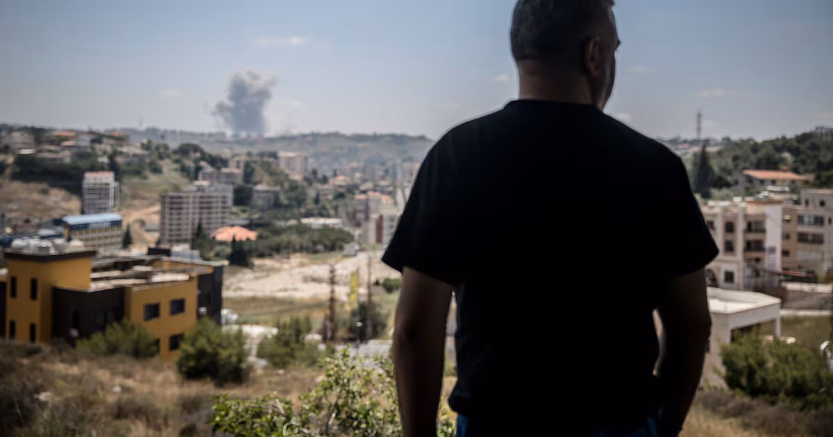
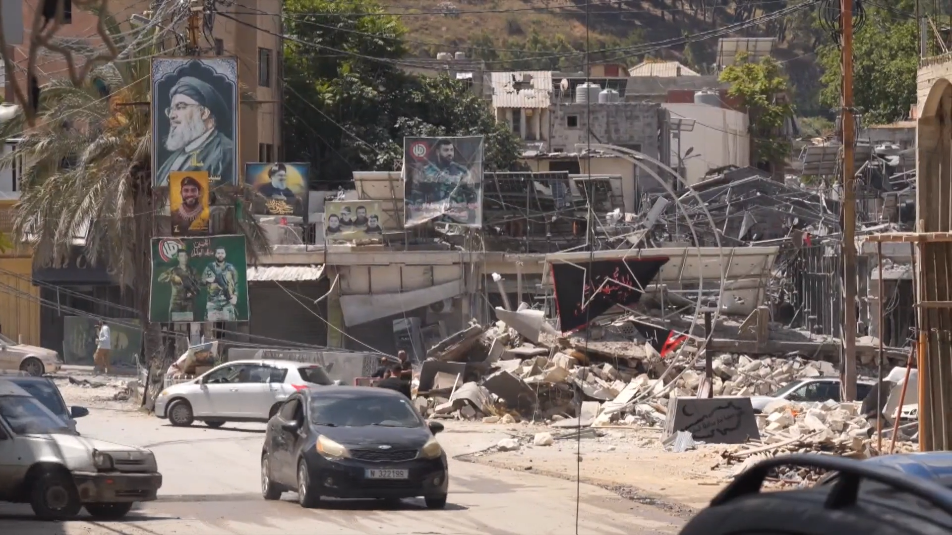
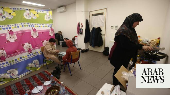
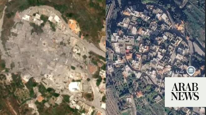
BEIRUT: Displaced residents of villages in southern Lebanon, who currently have no way of reaching their homes, are turning to commercial satellite imagery to learn whether the houses they fled are still standing.
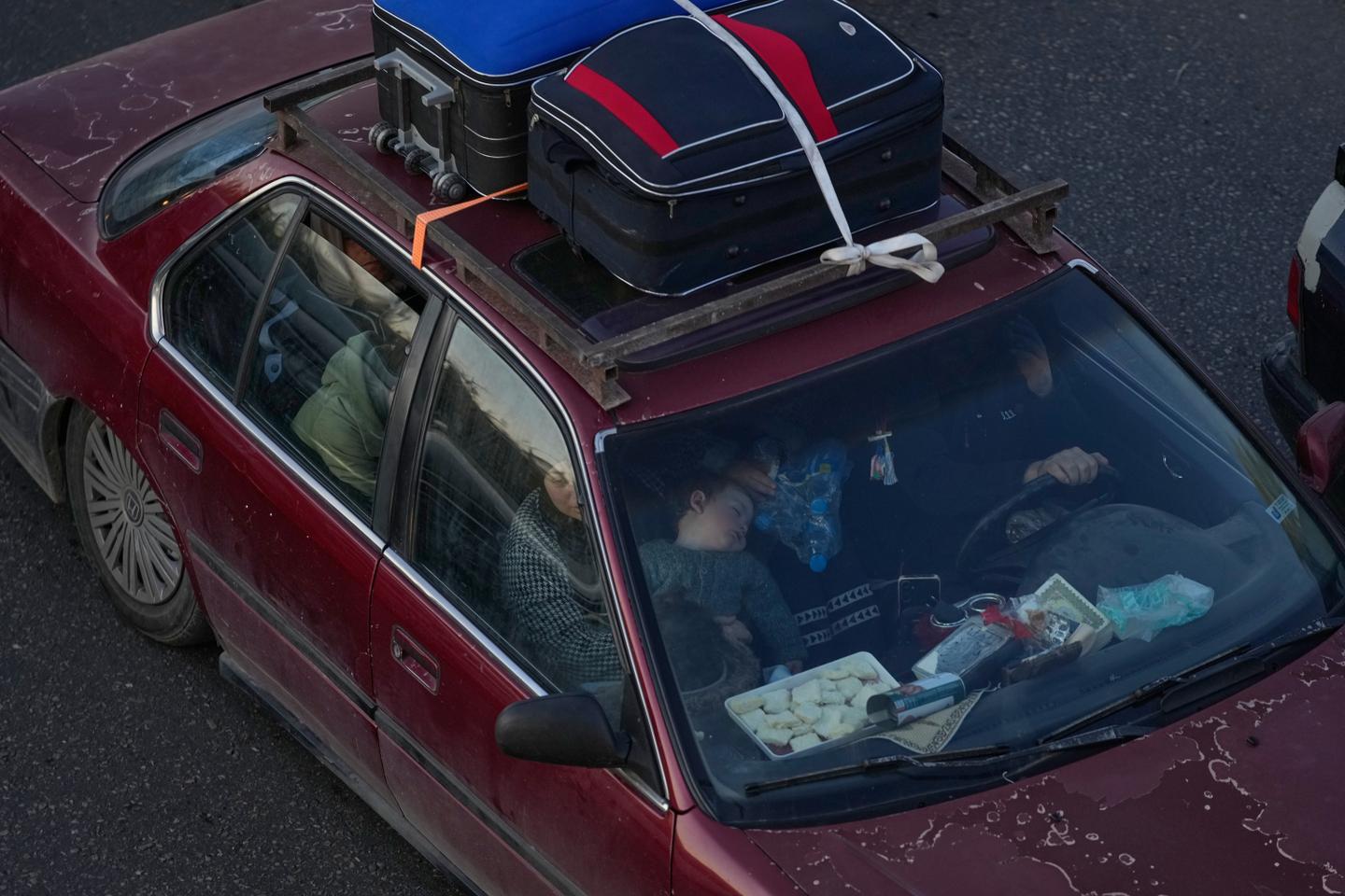
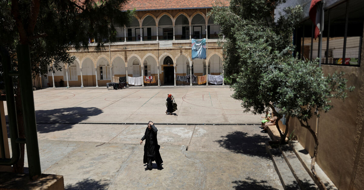
For many families, the images offer the first glimpse of homes left behind during successive waves of displacement since Israel’s war on Lebanon began. Some pool money with neighbors to purchase the images, hoping to answer a question that has become an obsession: Is there anything left to return to?
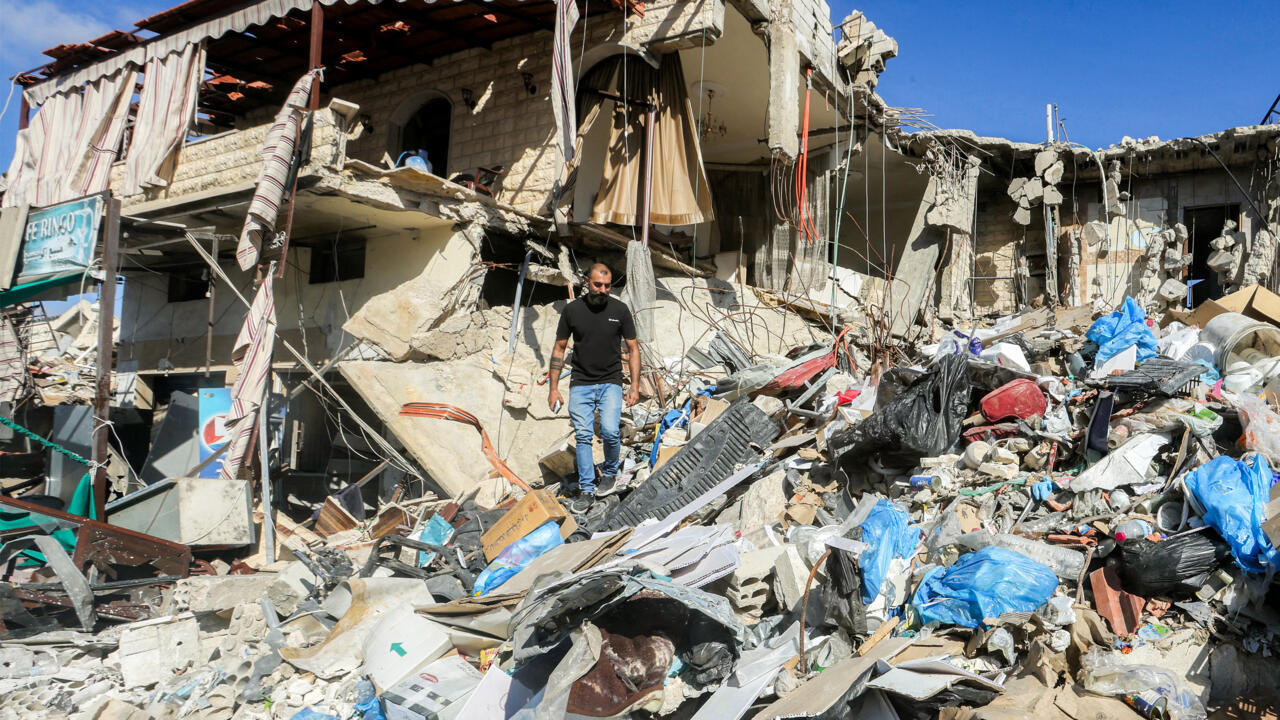
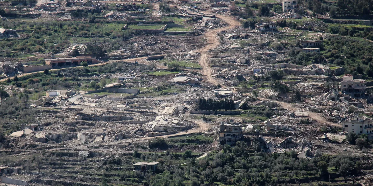
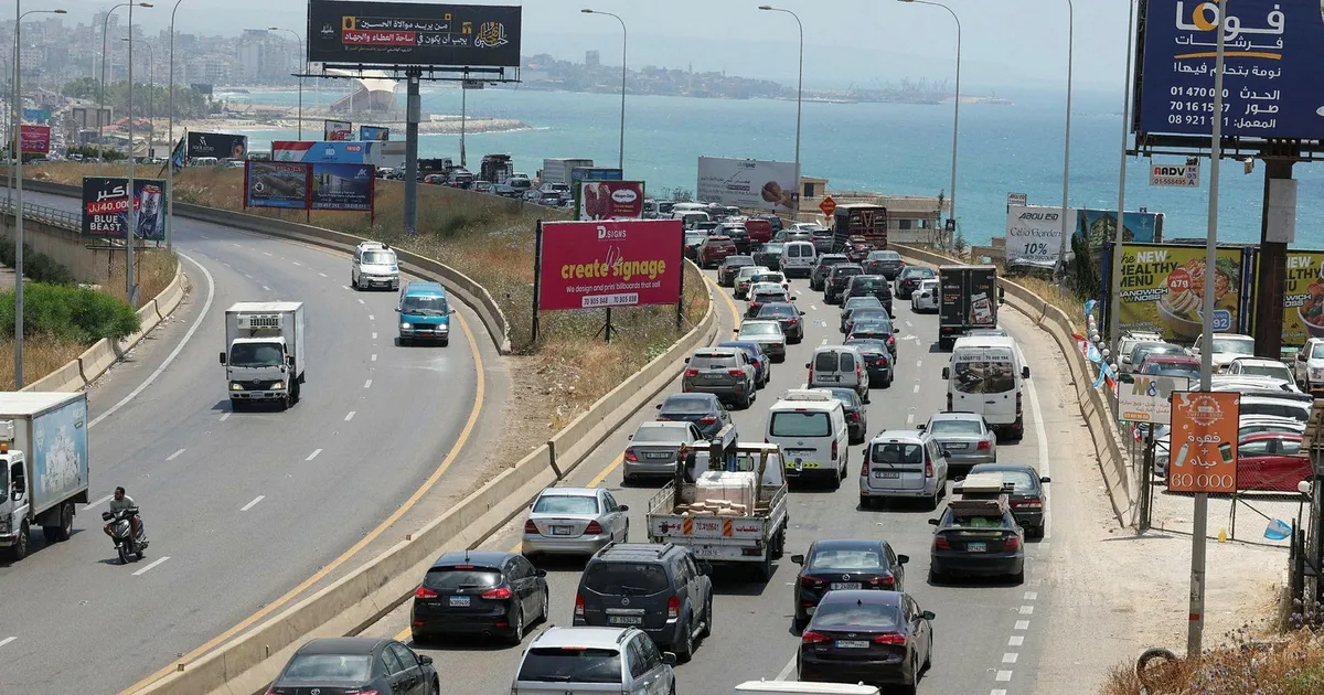
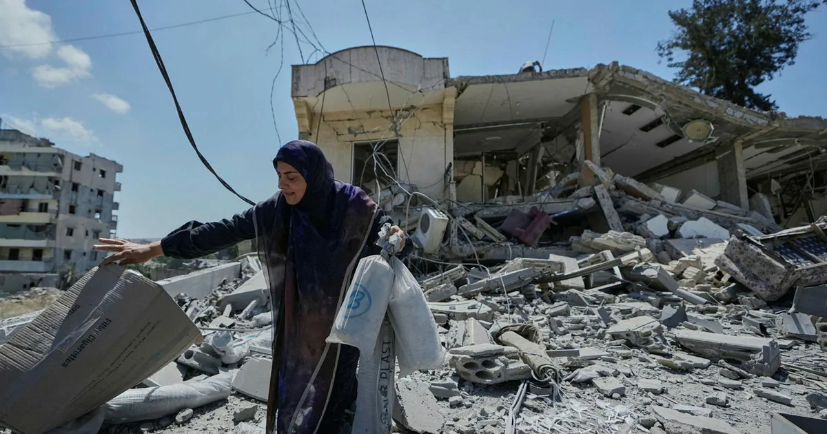
The practice has spread across southern Lebanon as Israeli evacuation orders, continued military operations, and systematic destruction have left dozens of villages inaccessible to their residents.
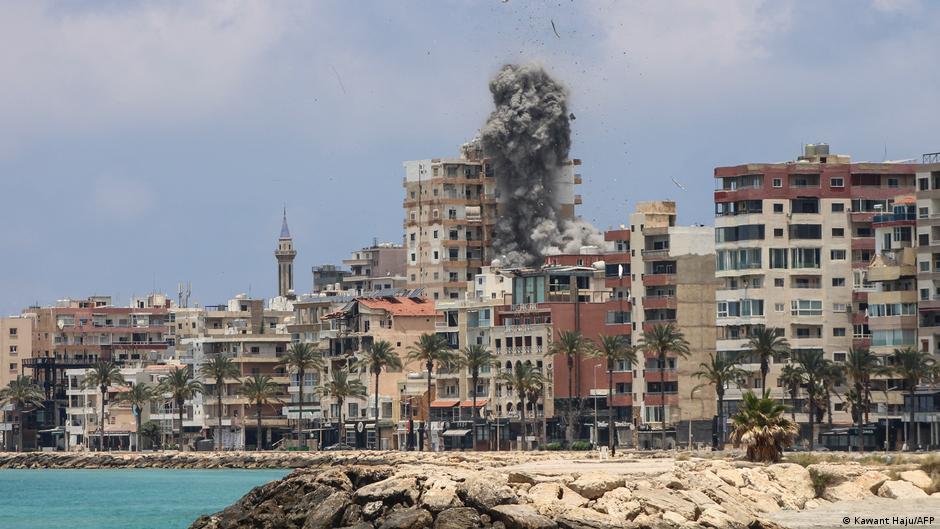
Eighty-five villages have effectively been cut off since Israel’s incursions into southern Lebanon, which began in 2023 and intensified further in March. In April, Israel established what it calls a “Yellow Line” buffer zone extending between 1.2 and 12 kilometers north of the Blue Line.