Imagine, if you will, a college student returning from summer break for the start of a new semester. Heading to her first class of the day, she pulls up the campus map on her phone and is intrigued to find two options: human or multispecies.Article continues after advertisement
Instinctively, she clicks “human” and sees the familiar layout of the idyllic school grounds she’s come to know. It confirms that she’s headed in the right direction. She starts to put her phone away but hesitates. After pausing for a moment, she navigates back to her browser and clicks “multispecies.”
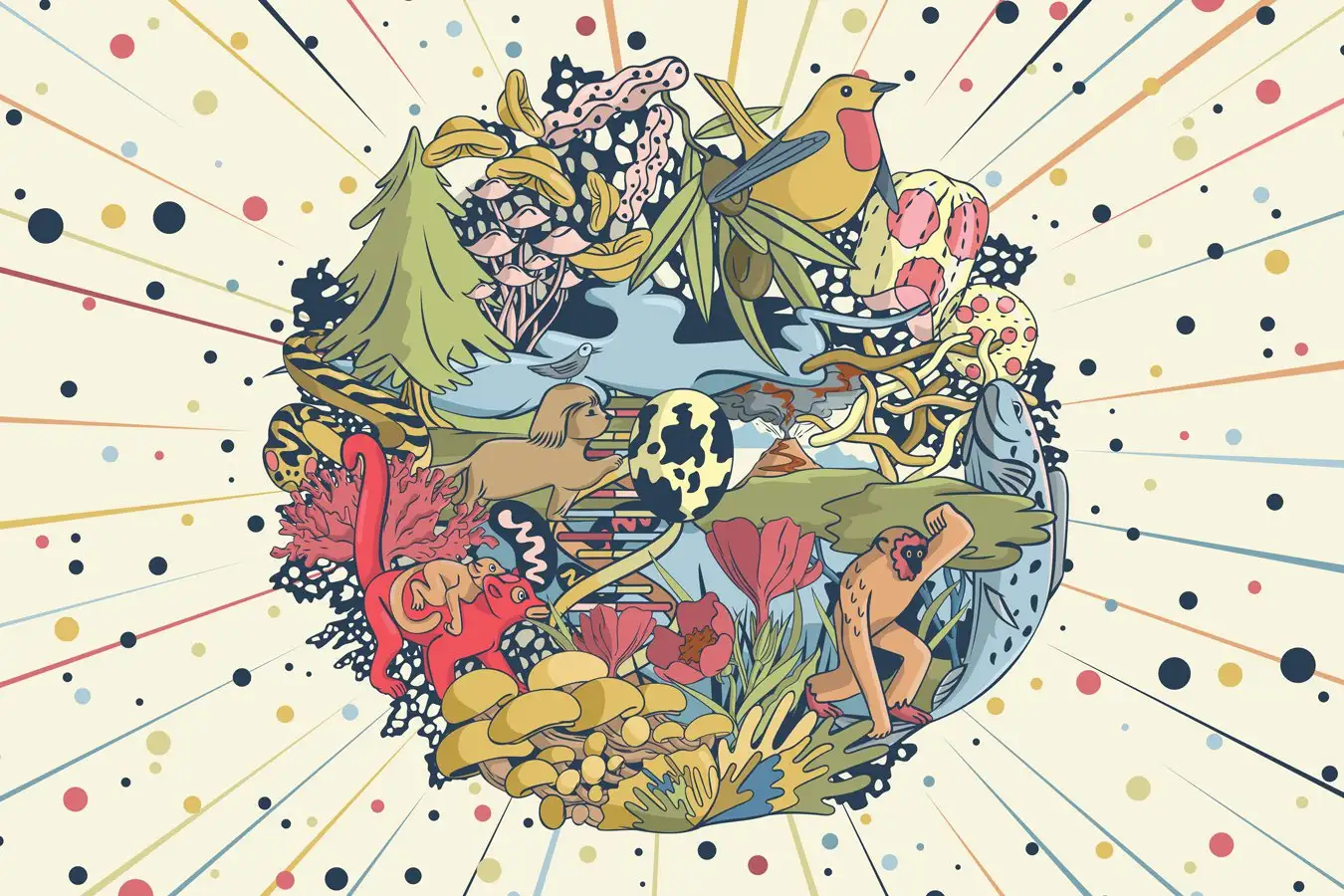
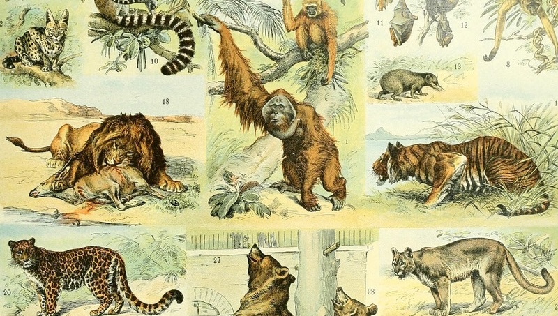
Illustration by Oliver Uberti.Immediately, a vibrant new map unfolds, displaying not just the resident housing and sidewalks she recognizes, but also a galaxy of other color-coded markers. Seagull nests and flyways. Ponds teeming with frogs and newts. Hedgehog burrows and transit routes. A clickable kaleidoscope in the palm of her hand.
Locating the grassy quad she’s standing on, the student zooms in on her favorite dining hall, the Stannary. Identified on the map by a blue fork-and-knife icon as a popular eatery, she notices that it’s also tagged as a stopping point on the seagulls’ flight path. Slowly peering up at the brick building ahead of her, she glances to the roof. Her eyes bulge when she spots a long row of birds, who appear to be having lunch. To nobody in particular, she blurts out, “No. Way.”