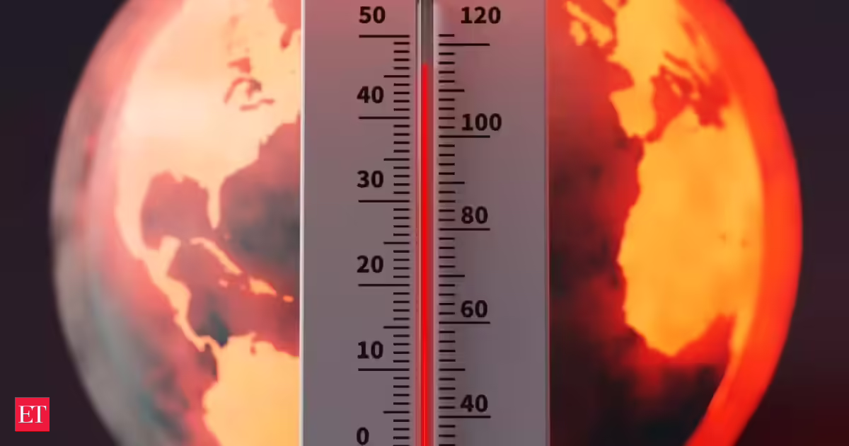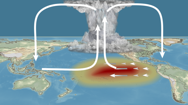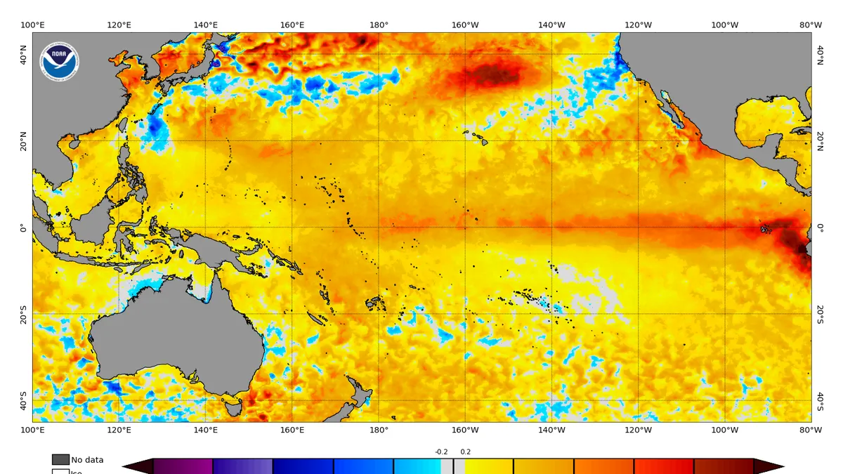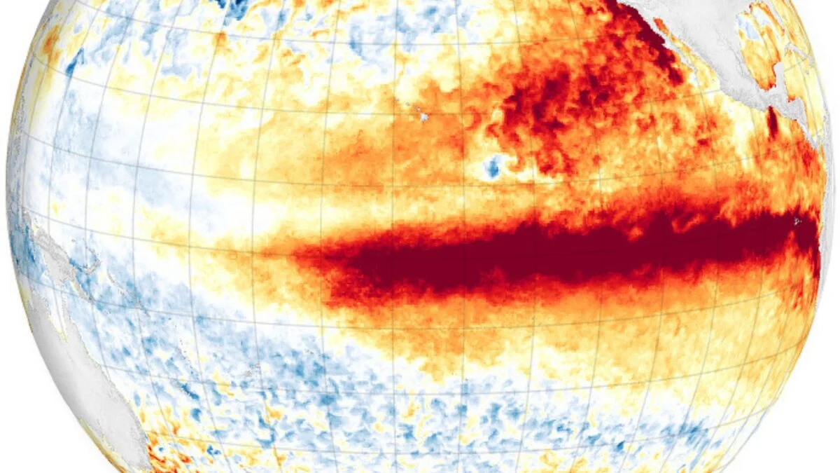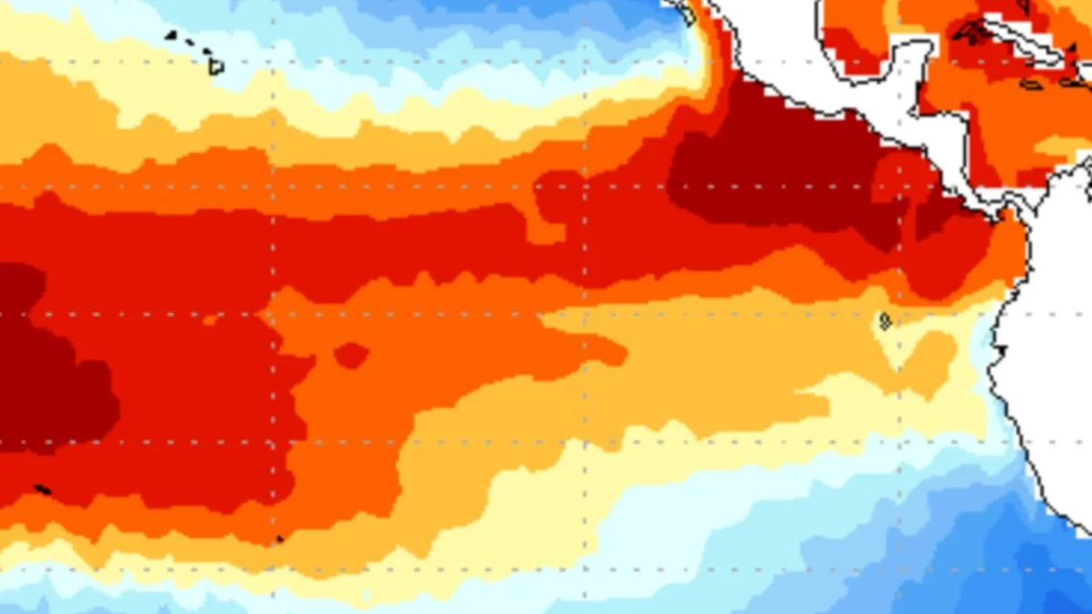
As meteorologists around the world grow increasingly confident that a “super” El Niño could be just around the corner, one weather agency has already made the call. In a statement translated by Gizmodo, the Japanese Meteorological Agency (JMA) officially declared the onset of El Niño today. The JMA is the first major weather organization to make this call. According to the statement, Japan is bracing for above-normal temperatures across the nation as a result of above-average Pacific sea surface temperatures. On Monday, the National Oceanic and Atmospheric Administration (NOAA) estimated that there is an 82% chance of El Niño emerging in June. The agency should release an updated El Niño forecast on Thursday, but according to former NOAA meteorologist Alan Gerard, the U.S. is still weeks away from a formal El Niño declaration. El Niño looking inevitable NOAA does not declare El Niño until sea surface temperatures in the Niño-3.4 region—the primary part of the equatorial Pacific Ocean used to track El Niño and La Niña—remain or are expected to remain at least 0.9 degrees Fahrenheit (0.5 degrees Celsius) above average for five consecutive, overlapping three-month periods.
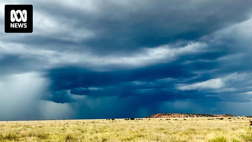
Still, the atmosphere is already showing some telltale signs of El Niño, Gerard reports. Three named storms have formed in the eastern Pacific within the last 10 days, marking an early, active start to the basin’s hurricane season. The first, Tropical Storm Amanda, took shape on June 3 and has since dissipated. Tropical Storm Boris followed on Monday and made landfall on the Pacific Coast of Mexico on Tuesday, bringing heavy rain and a risk of flash flooding. Now, the National Hurricane Center is tracking Tropical Storm Cristina as it drifts westward just south of the coast of El Salvador, threatening to bring more heavy rainfall, flooding, and mudslides to Central America.