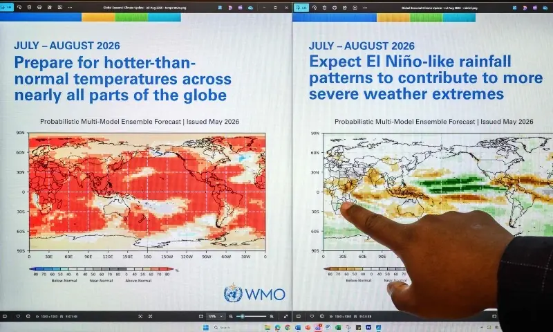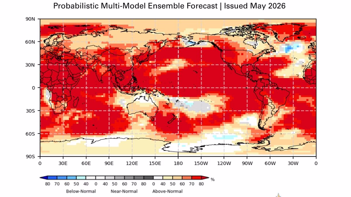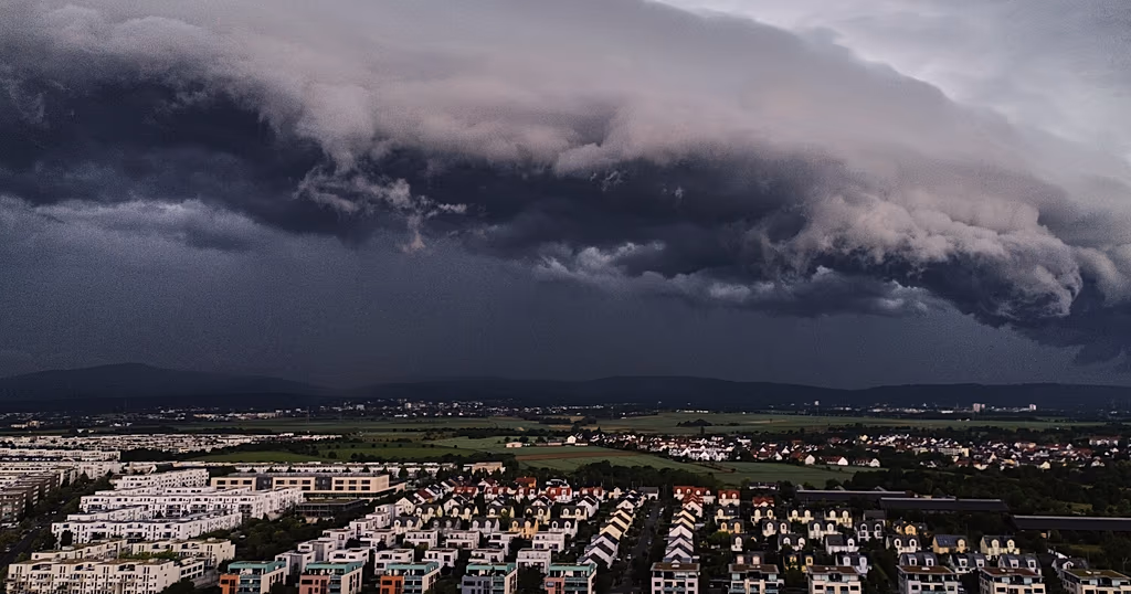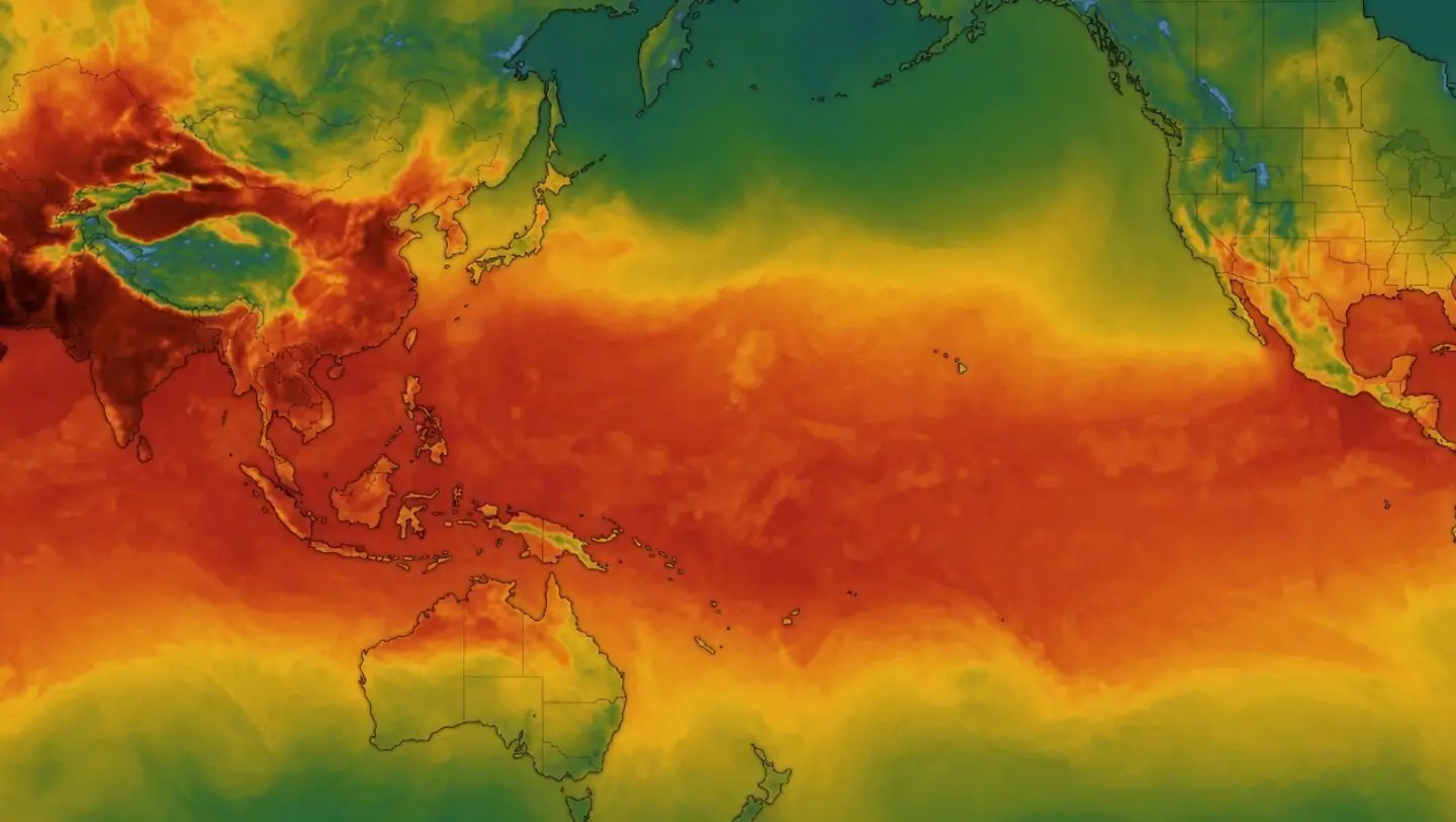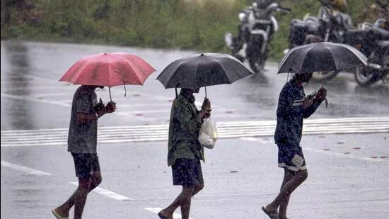
There is an 80% chance of an El Nino developing between June and August, the World Meteorological Organization (WMO) warned on Tuesday, a grim portent for the world’s climate in general and India’s monsoon in particular.WMO warns of 80% chance of El Nino developing between June and August (AFP)El Nino is a periodic warming of sea surface temperatures in the central and eastern Pacific Ocean, which typically lasts between nine and 12 months. The system plays havoc with global temperature and rainfall patterns and increases the risk of extreme weather.Also Read | Strong El Nino developing, South Asia to get below normal rain, flags WMOWhat to expect in India?In India, an El Nino is associated with a weaker monsoon and harsher summer.The El Nino which is currently taking shape will be moderate and could even be strong, said the update, a possibility that will raise alarm bells in India, which is already staring at a weak monsoon.The possibility that El Nino conditions will develop until at least November is “near or above 90%”, said the agency.“The science is clear: El Niño is arriving on our doorstep in the coming months with 90% certainty. The world must treat it as the urgent climate warning it is,” UN Secretary-General António Guterres said in a statement.“El Niño conditions will pour fuel on the fire of a warming world. Impacts will hit even harder, travel even farther, and cross borders with devastating speed. The only effective response is climate action equal to the crisis – ending the addiction to fossil fuels, accelerating the shift to renewables, protecting the most vulnerable, and delivering early warning systems for all,” he added.Also Read | PMC to review water cuts amid El Nino concernsRainfall likely to be below normalRainfall is likely to be below normal during the June–September southwest monsoon across much of South Asia, with the strongest signal over central regions, according to a seasonal forecast by WMO issued on April 30.The map issued by WMO showed below normal rain over almost all of India.WMO El Niño updates are based on a consensus of models from WMO Global Producing Centres, experts from national meteorological and hydrological services and climate prediction centres around the world.They are produced through a collaborative effort between the WMO and the International Research Institute for Climate and Society (IRI).HT reported on May 10 that ocean temperatures this April were the highest since a record spell of warmth in 2024, as the world’s waters heat up rapidly with a strong El Nino event approaching.Also Read | What India must do as climate crisis worsens‘Need to prepare for strong El Nino event’These increasing surface anomalies are being fed by unusually warm subsurface conditions across the tropical Pacific, with temperatures exceeding 6°C above average and providing a substantial reservoir of heat that is contributing to the observed surface warming.“We need to prepare for a potentially strong El Niño event – which will exacerbate drought and heavy rainfall and increase the risk of heatwaves both on land and in the ocean. The most recent El Niño, in 2023-24, was one of the five strongest on record and it played a role in the record global temperatures we saw in 2024,” said WMO secretary general Celeste Saulo.El Nino is typically associated with increased rainfall in parts of southern South America, the southern United States, parts of the Horn of Africa and central Asia, and drier conditions over Central America, northern South America, the Caribbean, Australia, Indonesia, and parts of southern Asia.
80% chance of El Nino forming between June and August, warns World Meteorological Organisation
In India, an El Nino is associated with a weaker monsoon and harsher summer. | India News
583 words~3 min read