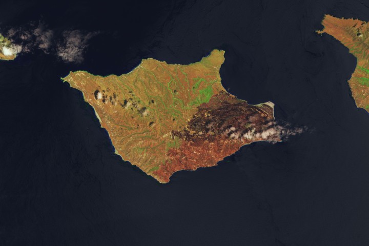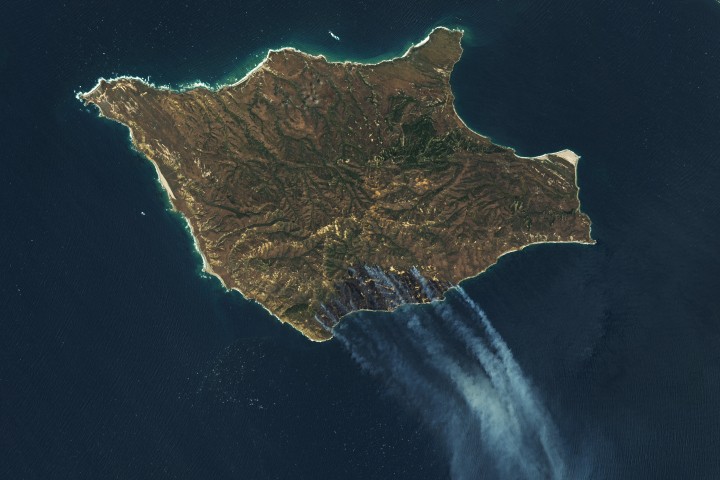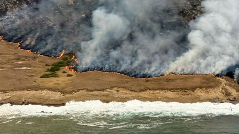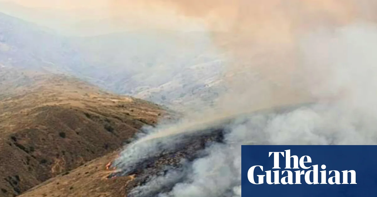
A pair of newly released NASA satellite images show just how dramatically the Santa Rosa Island Fire changed one of California's Channel Islands in little more than a week, with a burn scar spreading across a large section of the island. The human-caused fire, which started on May 15, ultimately burned 18,379 acres, about one-third of Santa Rosa Island.
One image shows the island on May 16, a day after the fire was first spotted, while a second image from May 24 reveals how much more of the landscape had been scorched after several days of growth. In NASA's false-color imagery, burned areas appear brown while healthy vegetation shows up in green.
An animation showing the burn scar from the Santa Rosa Island Fire on May 16, compared to May 24. Images courtesy NASA
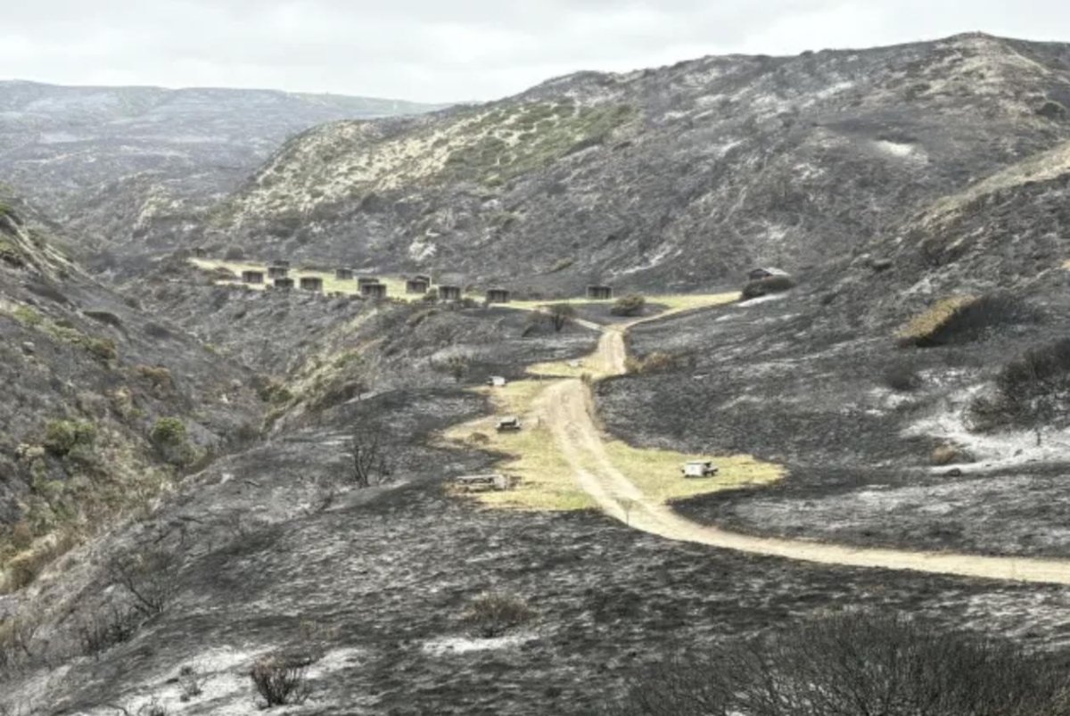
"Santa Rosa Island, like the other Channel Islands, is known for its diversity of plant and animal species, some of them rare," NASA said. "Observers were concerned that the fire threatened the island's Torrey pines, a rare type of tree that in the United States grows naturally only on the northeastern coast of Santa Rosa Island and near San Diego."
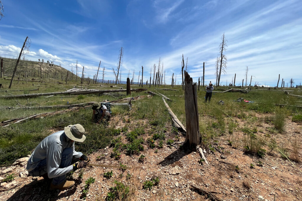
Initial post-fire surveys indicated the Torrey pine stand remained largely intact, with the canopy mostly spared, though NASA said some pockets of forest were damaged where fire intensity was higher. Fire crews also worked along the northwest edge of the blaze to protect the island's cloud forests by cooling fuels ahead of the fire.