3 min readImage of the Day for June 2, 2026A wildland fire charred grassland, coastal sage scrub, and chaparral across one-third of the island, the second largest of the Channel Islands.NASA Earth ObservatoryJun 02, 2026 Article
View more Images of the Day:
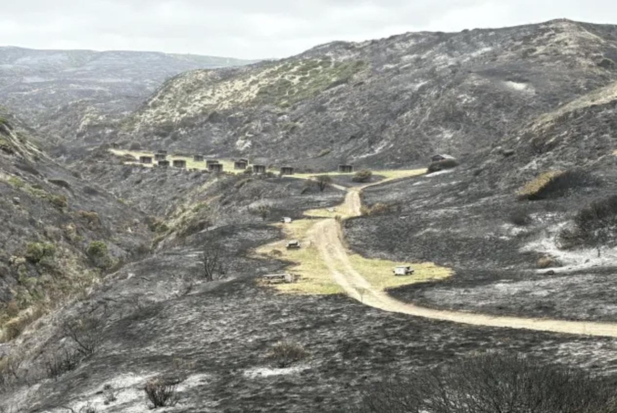
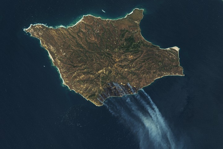
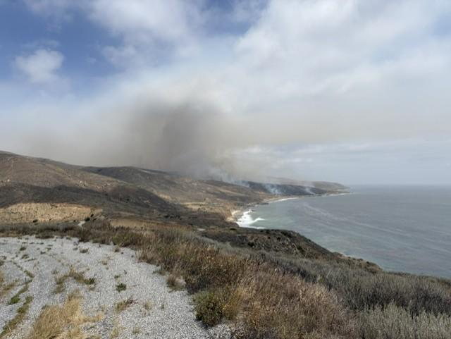
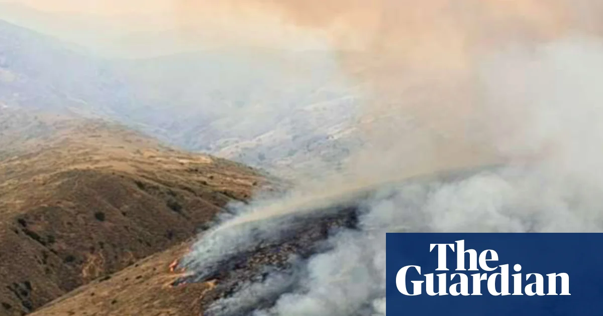
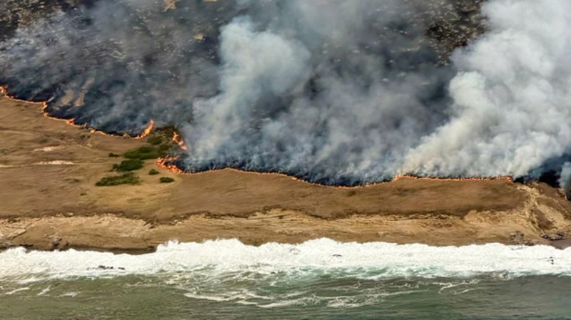
On May 15, 2026, a fire was spotted from aircraft on the southeastern side of Santa Rosa Island, part of California’s Channel Islands National Park. The blaze spread over the next several days, ultimately burning 18,379 acres (7,438 hectares)—about one-third of the island.
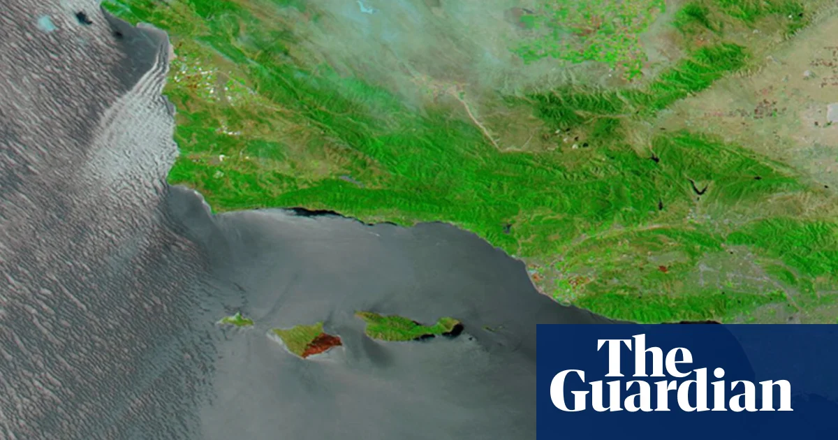
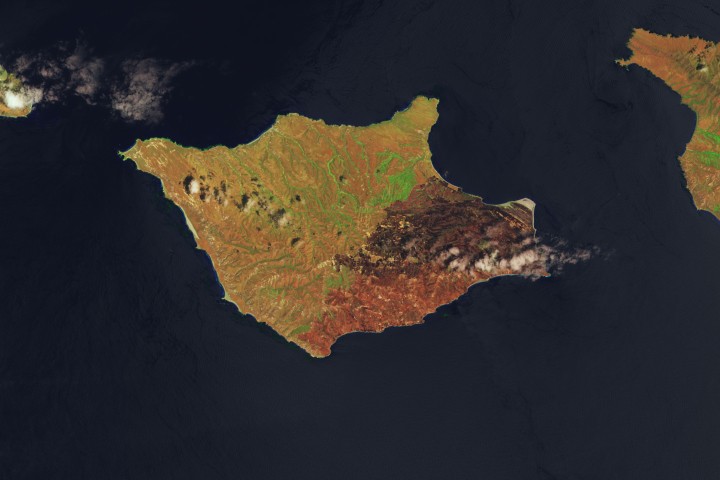
These images show the expansion of the fire’s burned area between May 16 (left), the day after it was discovered, and May 24 (right), after the fire’s growth had stabilized. The Landsat satellite images are false-color to help distinguish burned areas (brown) from healthy vegetation (green). Officials reported the fire was 97 percent contained by the evening of May 26.
NASA tools utilizing satellite observations, namely FIRMS (Fire Information for Resource Management System) and the Fire Event Explorer, show how the fire spread to the north and east over several days. As it advanced, it consumed areas of grassland, coastal sage scrub, and island chaparral.