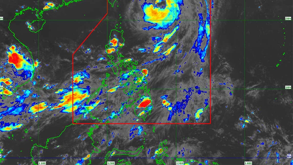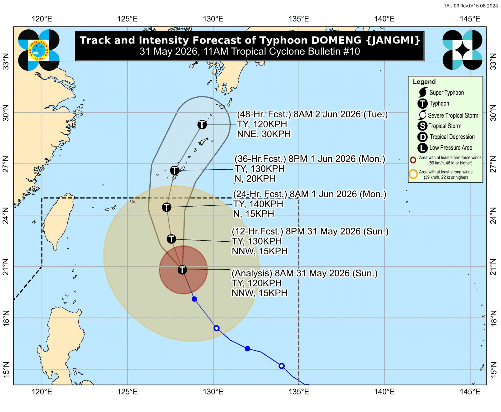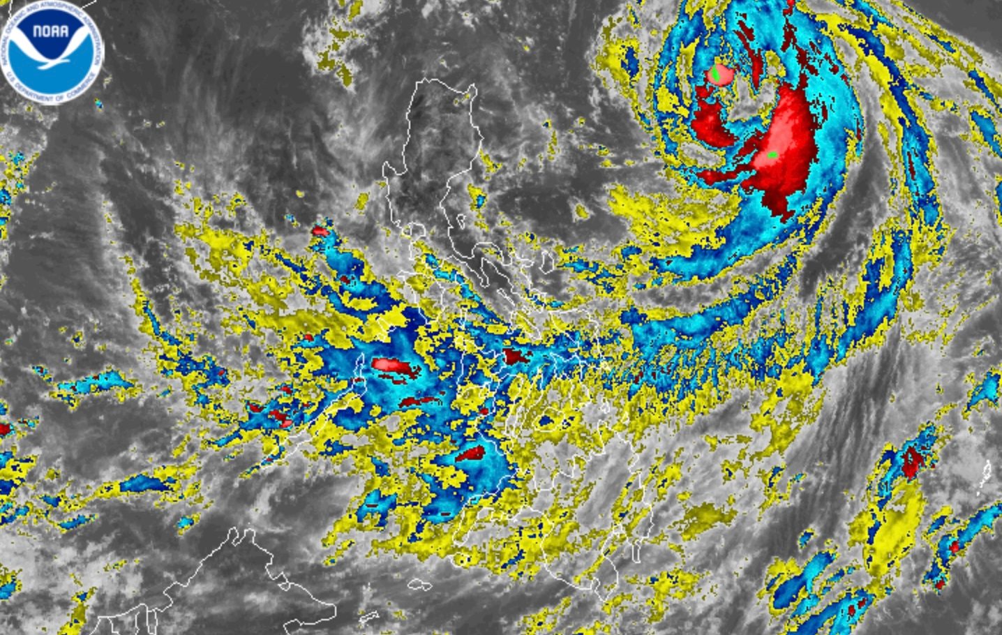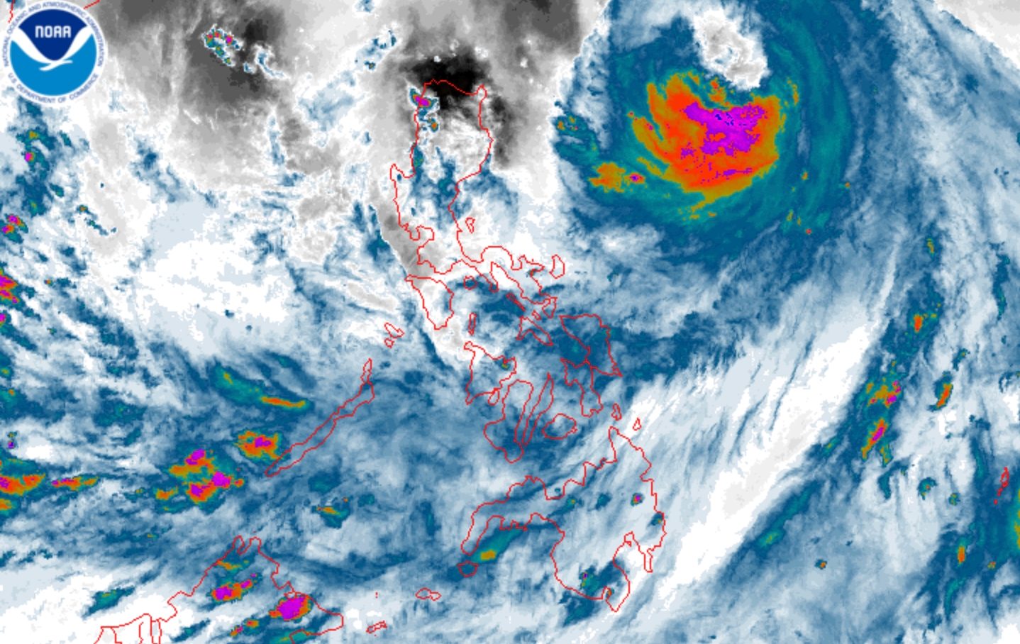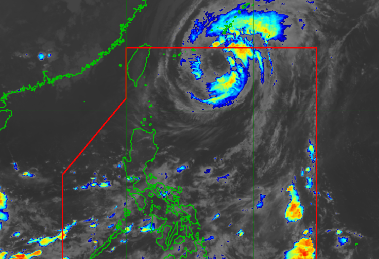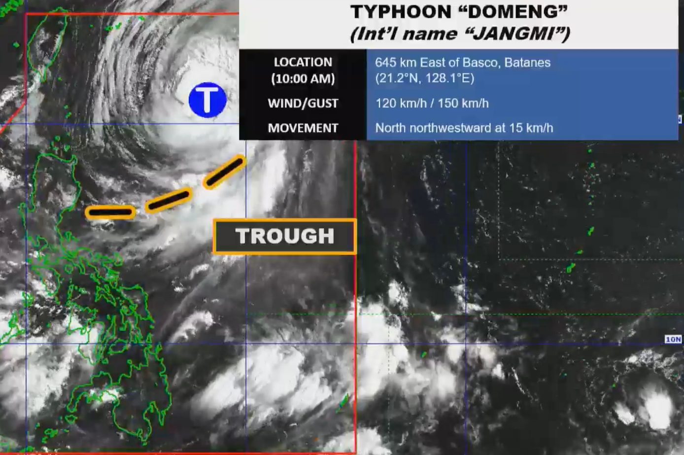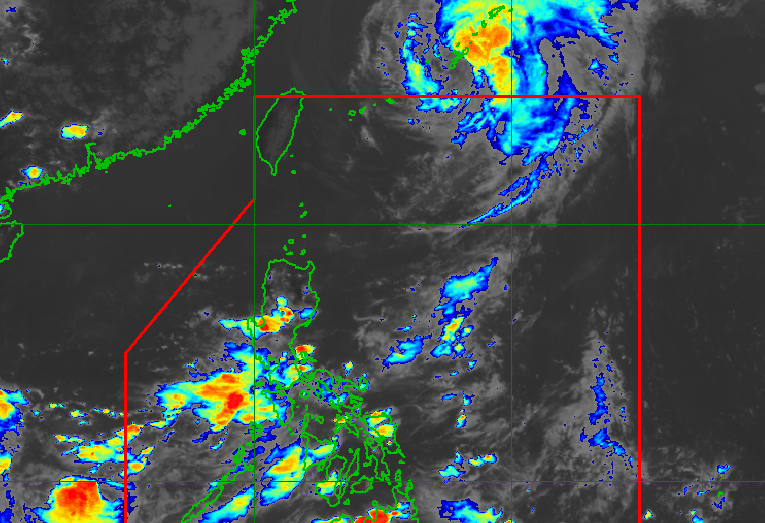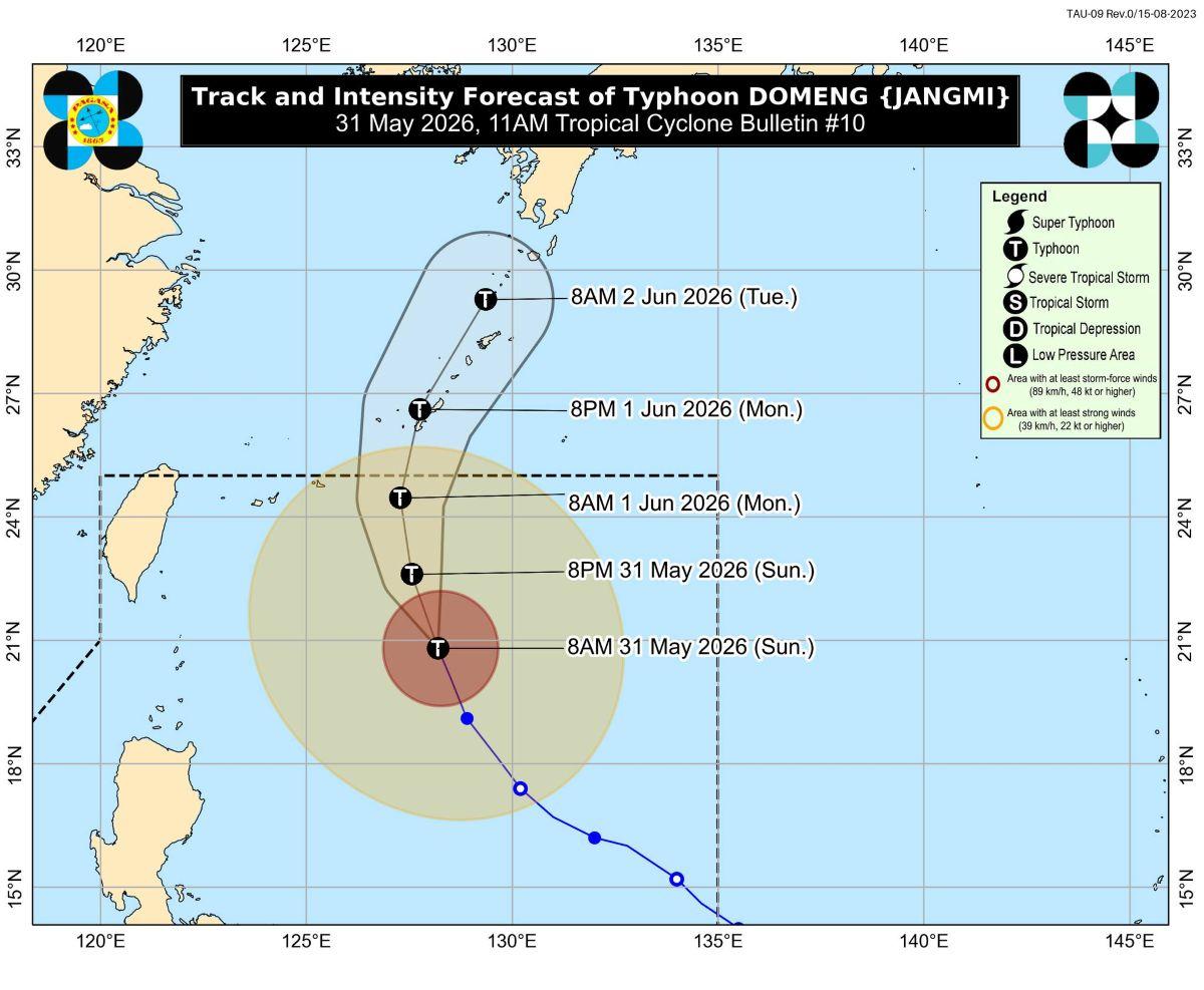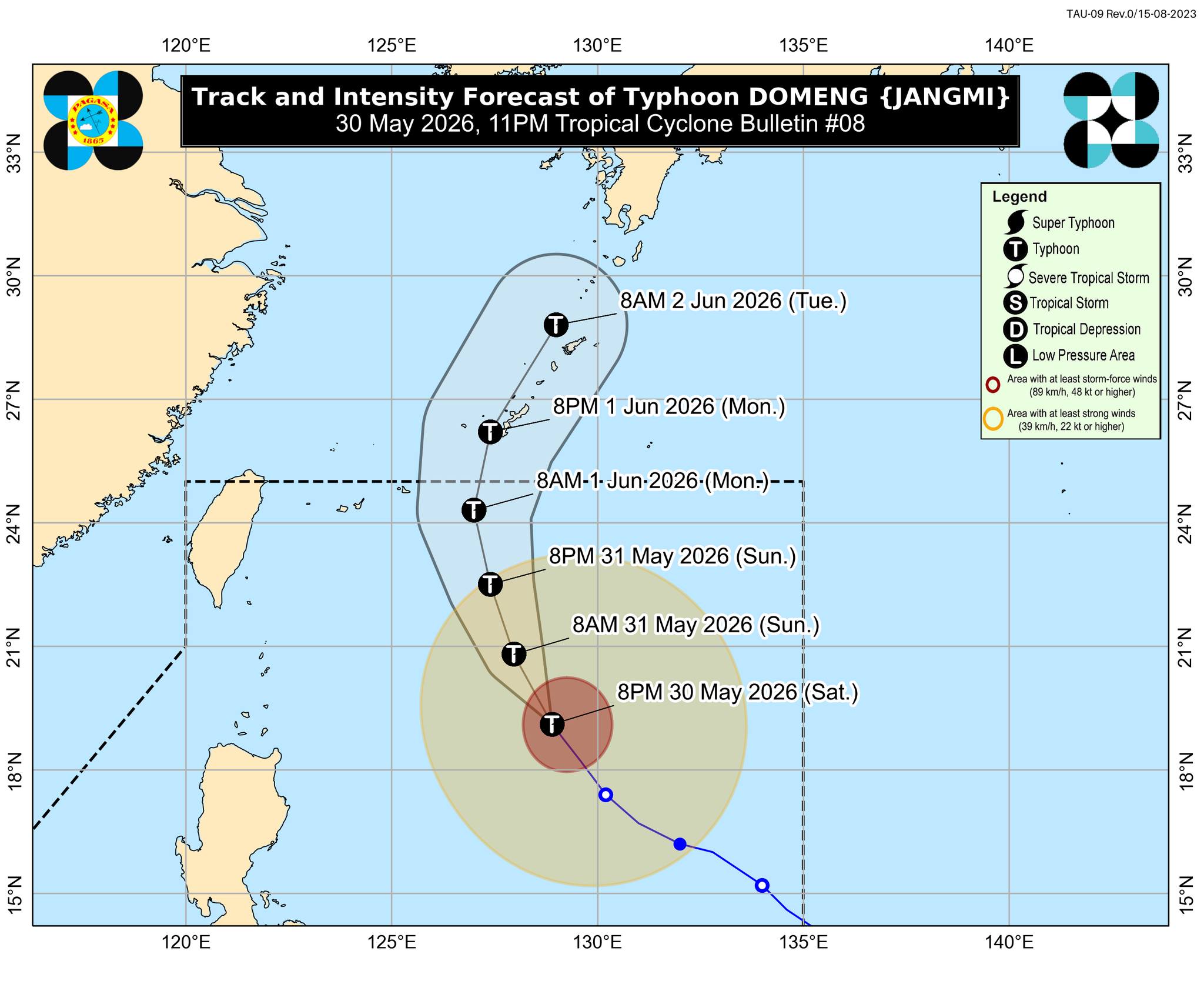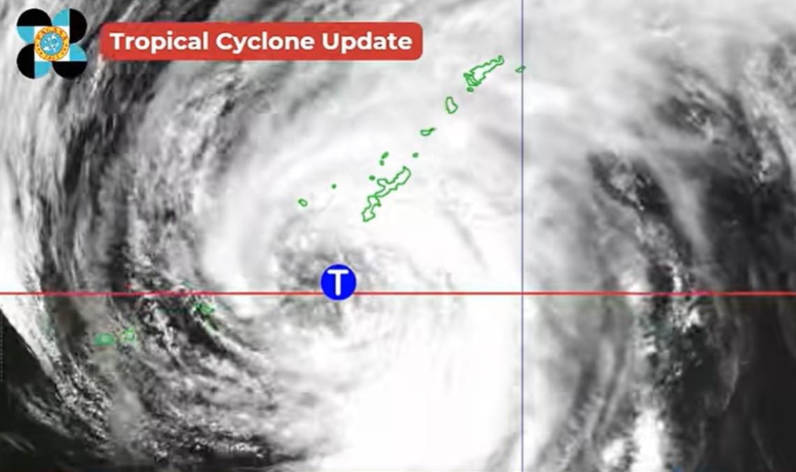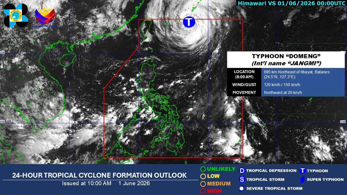
By LYJAH TIFFANY BONZO, GMA News Published June 1, 2026 11:25am Updated June 1, 2026 11:31am + Add GMA on Google Make this your preferred source to get more updates from this publisher on Google. Typhoon Domeng (international name: Jangmi) slightly weakened on Monday morning as it continued moving northward near Okinawa, Japan, state weather bureau PAGASA said.As of 10 a.m, PAGASA said the center of the eye of Typhoon Domeng was estimated at 710 km northeast of Itbayat, Batanes, with sustained winds of 120 km/h near the center, and gusts of up to 150 km/h.Typhoon Domeng is likely to exit the Philippine Area of Responsibility (PAR) at noon on June 1, PAGASA added.HabagatMeanwhile, the periphery of Domeng is expected to enhance the Southwest Monsoon (Habagat), which will bring strong to gale-force gusts over the following areas:Today, June 1: Batanes, Babuyan Islands, Metro Manila, CALABARZON, MIMAROPA, Bicol Region, Panay Island, and Negros Occidental. June 2: Batanes, Babuyan Islands, Central Luzon, Metro Manila, CALABARZON, MIMAROPA, Camarines Norte, and Camarines Sur. June 3: Ilocos Region, Benguet, Isabela, Quirino, Nueva Vizcaya, Central Luzon, Metro Manila, CALABARZON, MIMAROPA, Camarines Norte, Camarines Sur, Aklan, and Capiz.In its 11 a.m. weather advisory regarding the Southwest Monsoon, PAGASA said Occidental Mindoro, Zambales, and Bataan may expect 50 to 100 mm of rainfall today until noon of Tuesday, June 2. The amount of rainfall may be higher in mountainous and elevated areas.PAGASA advised the public and disaster risk reduction and management offices to take all necessary measures to protect life and property. —KG, GMA News
Typhoon Domeng slightly weakens, moving northward near Japan —PAGASA
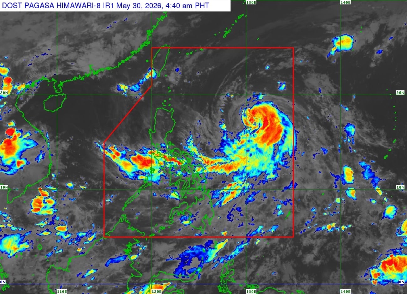
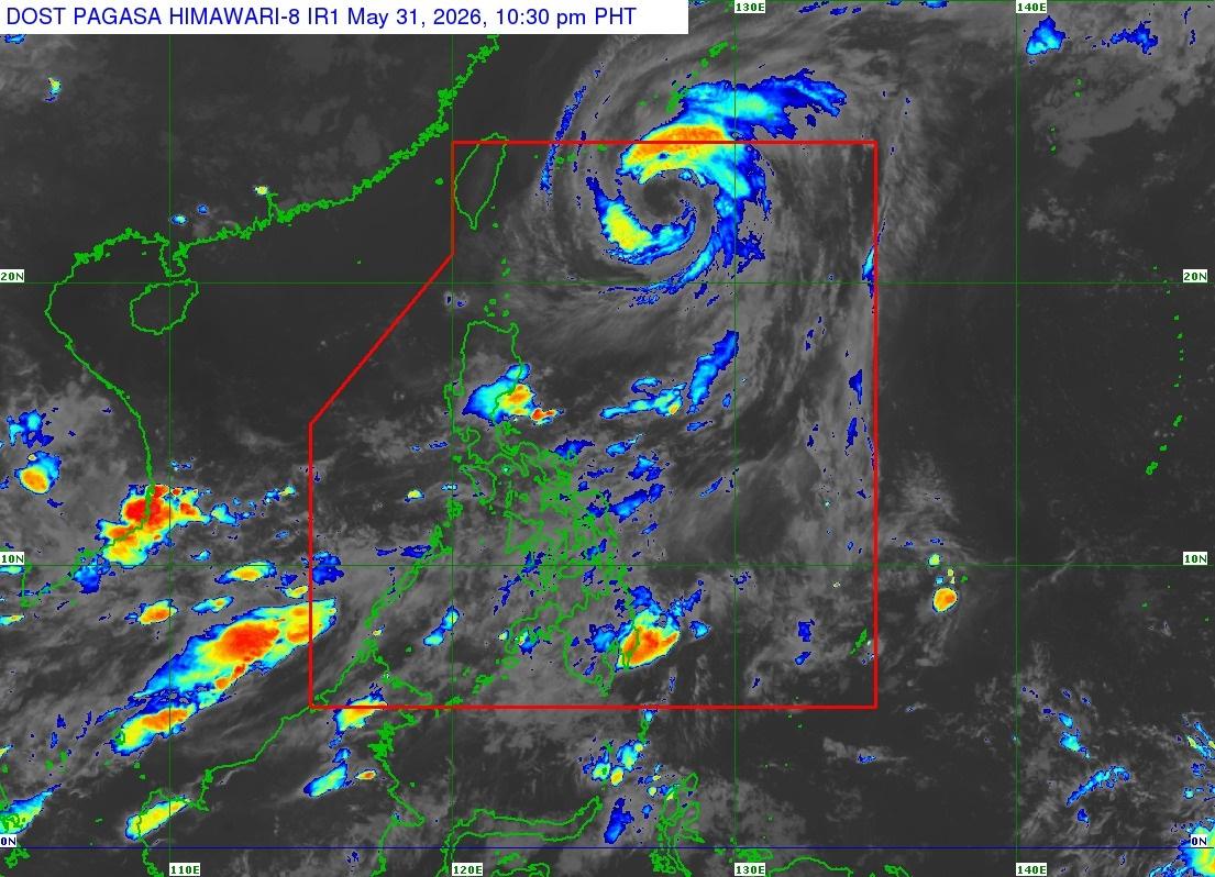
Typhoon Domeng (international name: Jangmi) slightly weakened on Monday morning as it continued moving northward near Okinawa, Japan, state weather bureau PAGASA said.
257 words~1 min read