Hanoi plans to move parking, shops, transit and utilities underground into one connected network, easing a surface running out of room, under a master plan that treats the underground as a "second city".
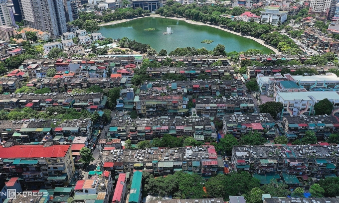
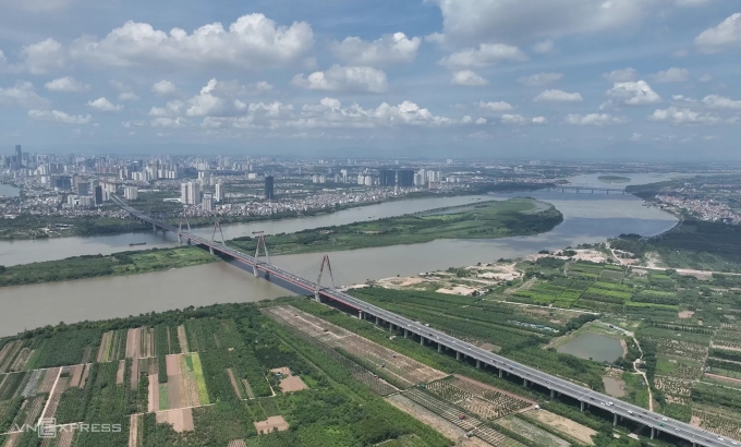
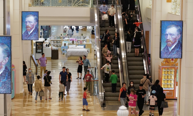
The shift is a response to hard limits above ground. The capital's core is straining under traffic, parking shortages and overloaded utilities, and in historic central wards such as Hoan Kiem, Ba Dinh, Dong Da and Hai Ba Trung there is almost no land left for large infrastructure.Under the new plan, underground space will no longer be a scatter of disconnected basements but a single integrated system, knitted into existing centers, transit-oriented development zones and the metro network, with major underground hubs linked by strategic tunnels. The idea is a city that works vertically rather than one that simply spreads.Development is sorted into four depth tiers, each with a defined job. The top layer, from 0 to 15 m, handles daily life: pedestrian walkways, underground parking, utility lines, shopping space and the connections to metro stations, which makes it the most commercially valuable level. From 15 to 30 m sits the technical and strategic layer, with deep metro lines, disaster-prevention systems, energy and strategic-material reserves, and facilities needing tight climate control. The 30 to 50 m band is reserved for core infrastructure: large groundwater reservoirs, key utility corridors and defense and security installations. Everything below 50 m is locked away as a strictly protected reserve, untouched within this planning horizon.The metro is the backbone of the whole scheme. Stations become three-dimensional complexes, and within a 500 m radius a resident could move, shop and park entirely underground without surfacing. Hanoi plans "Super Hub" complexes at major interchanges including Ngoc Hoi, Yen Vien and Tay Thang Long, designed as underground "city lobbies" linking high-speed rail, metro and commercial streets.The plan also splits the city along the Red River. To the south, the focus is underground transport and large-scale parking tied together by utility tunnels. To the north, priority goes to underground transit concourses, shopping streets and reserved space for cross-river tunnels. Long Bien and Gia Lam are slated for a "smart" model that fuses infrastructure with data centers and city-management systems, while the satellite belt of Son Tay, Hoa Lac, Xuan Mai and Phu Xuyen will host underground parking and technical networks serving high-tech parks and computing facilities. Construction will be restricted or banned outright at heritage sites, on weak ground and in protected security zones.