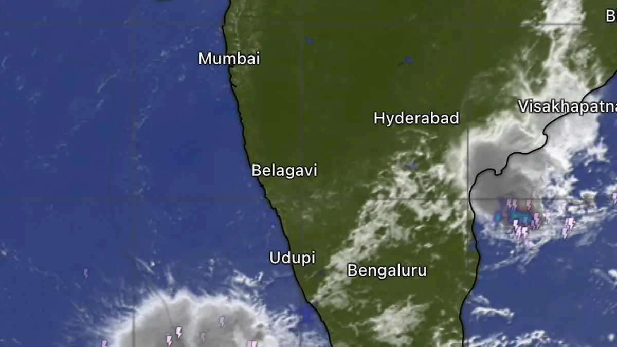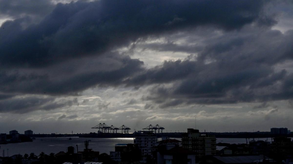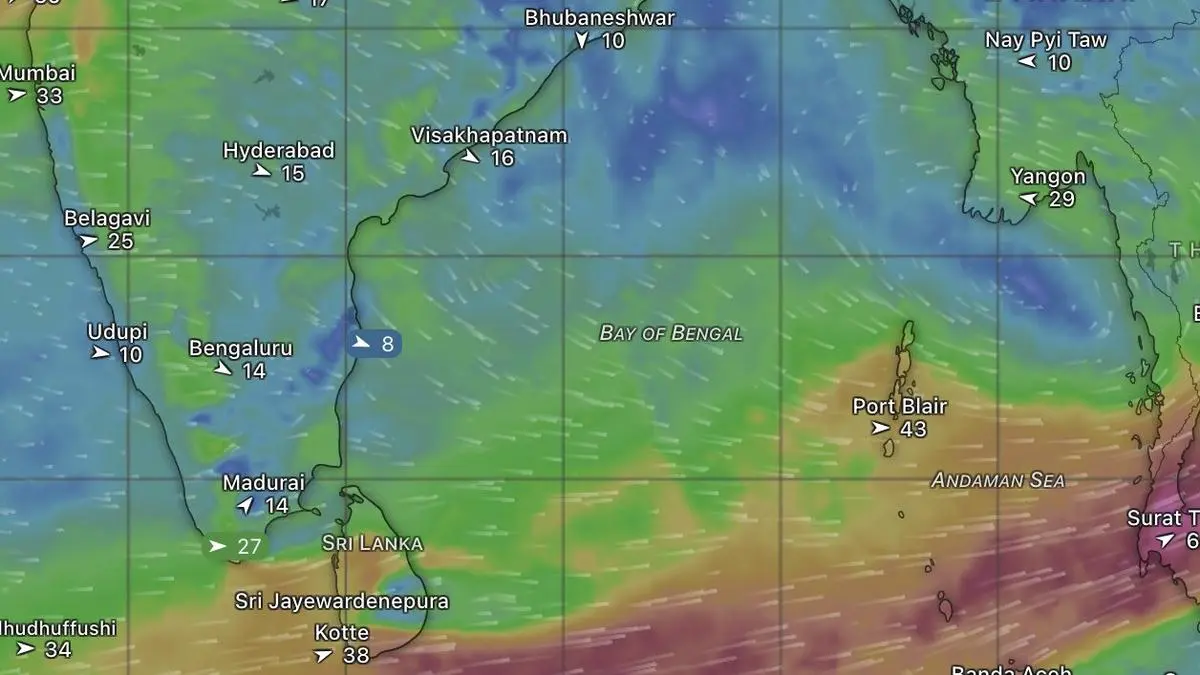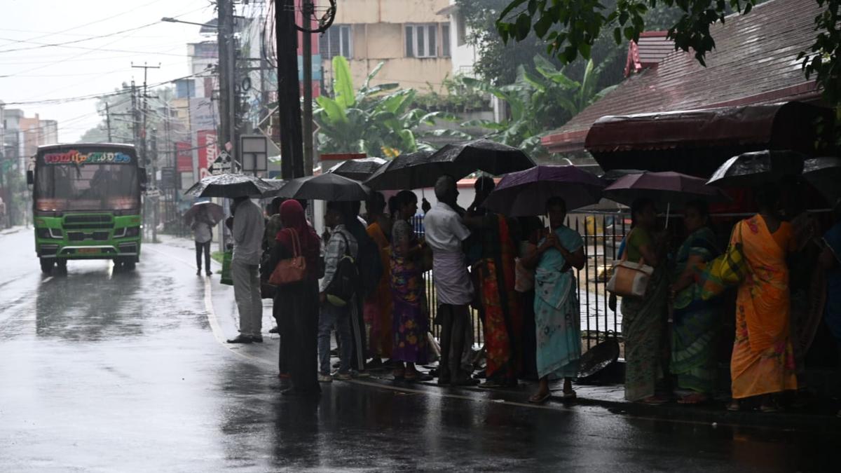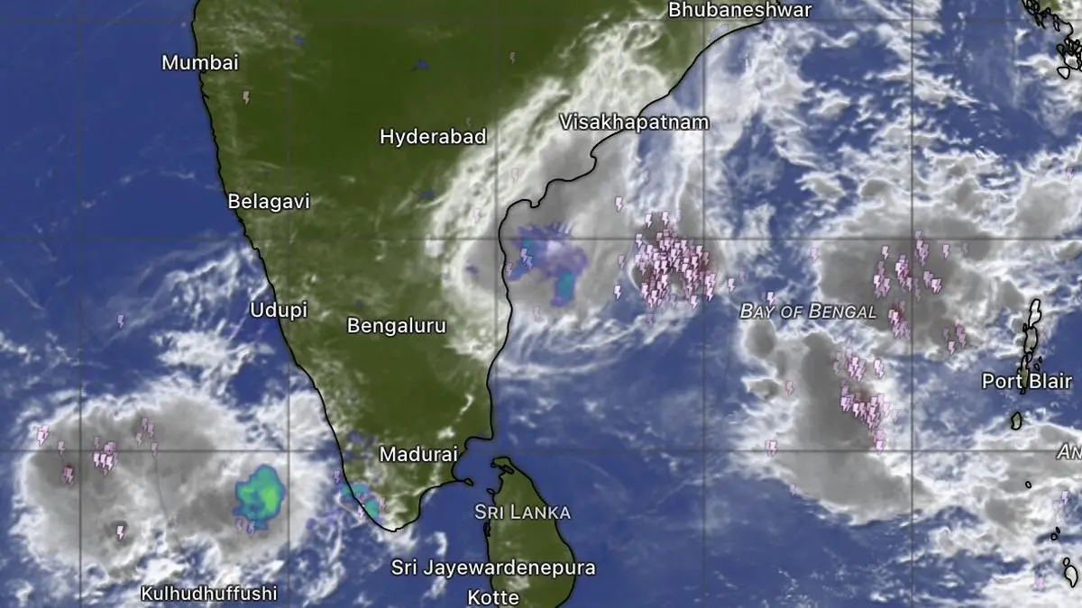
Clouds packing thunderstorms, lightning and showers are seen rising over both the Arabian Sea and the Bay of Bengal on Saturday morning. But monsoon onset over Kerala coast may have to wait still.
| Photo Credit:
www.windy.com
Satellite imagery at noon on Saturday showed a large and increasingly organised cloud mass drifting over and settling across Lakshadweep, just off the Kerala coast. It is packed with thunderstorms and frequent lightning, offering an encouraging signal for the advancing south-west monsoon. Yet the monsoon itself appears content to wait before making its formal onset over Kerala.Flagging windsThe key obstacle remains the wind pattern in the middle troposphere, around 4.5 km above sea level. For monsoon onset, these winds must turn south-westerly and strengthen. Instead, they remain easterly. Forecasts from the European Centre for Medium-Range Weather Forecasts (ECMWF) indicate that the transition to south-westerlies may begin over the next three to four days.Likely onset windowIf that evolution unfolds as projected, the winds could acquire sufficient depth and strength between June 3 and June 5, creating a favorable window for monsoon onset. India Meteorological Department (IMD) has identified a persistent and presumably helpful cyclonic circulation over south-east Arabian Sea near Lakshadweep, but its outlook differs markedly from the ECMWF scenario.Numerical guidanceLatest IMD numerical model guidance suggests lower-level winds may remain north-westerly through June 4–5, while higher-level winds are also not expected to align with classic monsoon pattern. This raises questions about when the IMD will consider the required onset criteria to have been fully satisfied. Current model guidance indicates that wind direction and strength may not align with ideal monsoon conditions until around June 9.Western disturbanceThe broader synoptic environment offers little additional confidence. A rogue western disturbance, along with a network of cyclonic circulations and land-based troughs distributed across the landscape—three of each as of Saturday morning—continues to disrupt the atmospheric setup. Such land-based features are often characteristic of a landscape still resisting the monsoon’s advance. They would typically weaken and disappear as moisture-laden south-westerly monsoon current establishes itself. For now, clouds are in place and the thunderstorms to both sides of the peninsula (Arabian Sea and Bay of Bengal) are active. What remains missing is the full atmospheric alignment required to convert promise into onset. Published on May 30, 2026