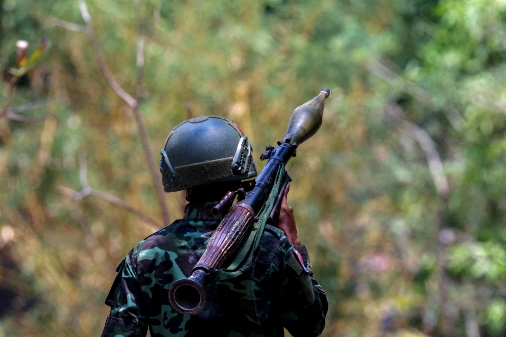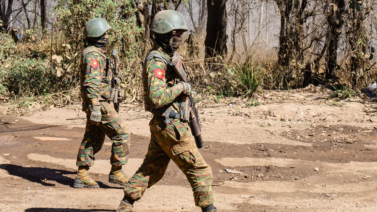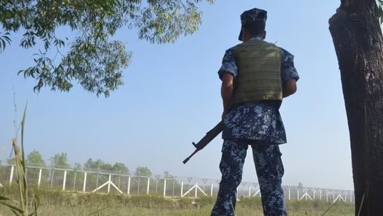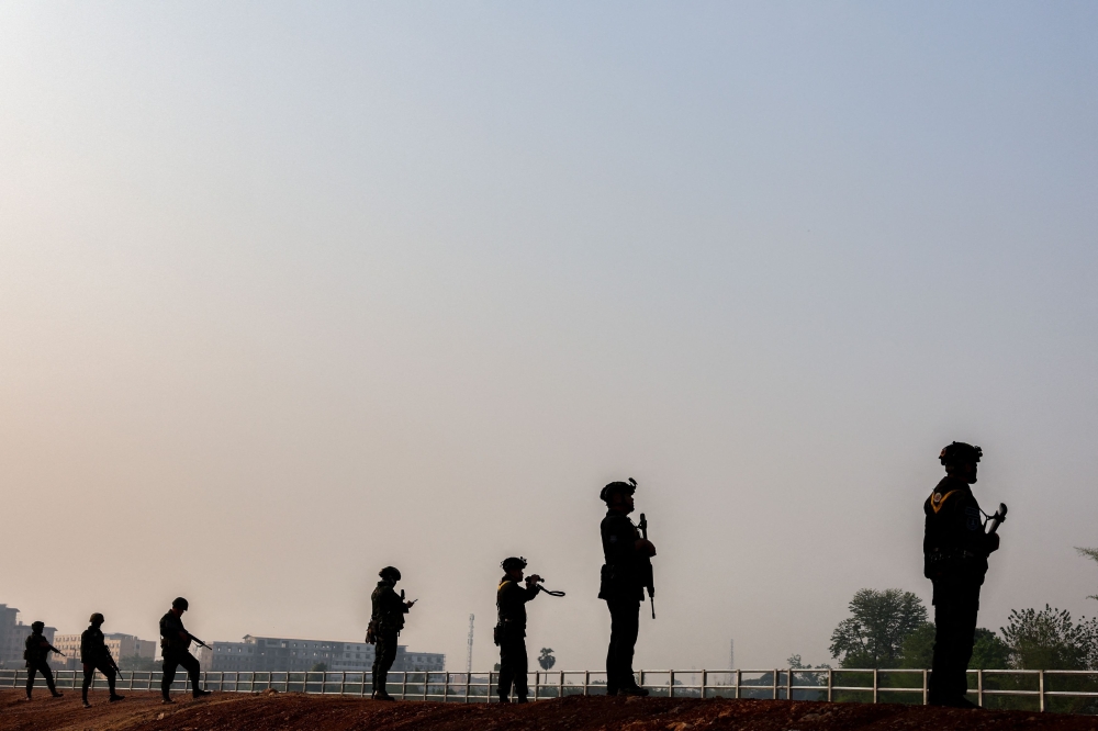
On May 19, 2026, the Myanmar Armed Forces (Tatmadaw) and the Zomi Revolutionary Army (ZRA) recaptured Tonzang, a strategically vital town located on the Tedim-Kale trade route, from Chin ethnic armed organizations (EAOs). This is a part of the ongoing broader Myanmar government offensive in mountainous Chin State in western Myanmar.
Last month, the Myanmar government forces recaptured Falam, the second most important town in Chin State. Now the Tatmadaw can potentially expand its offensive toward Rihkawdar, located on the India-Myanmar border. Due to the timing of the offensive, the location of the Chin State, and the political situation in neighboring Indian states and Bangladesh’s Chattogram Hill Tracts (CHT), the offensive holds important political and strategic ramifications for Myanmar, India, and Bangladesh.
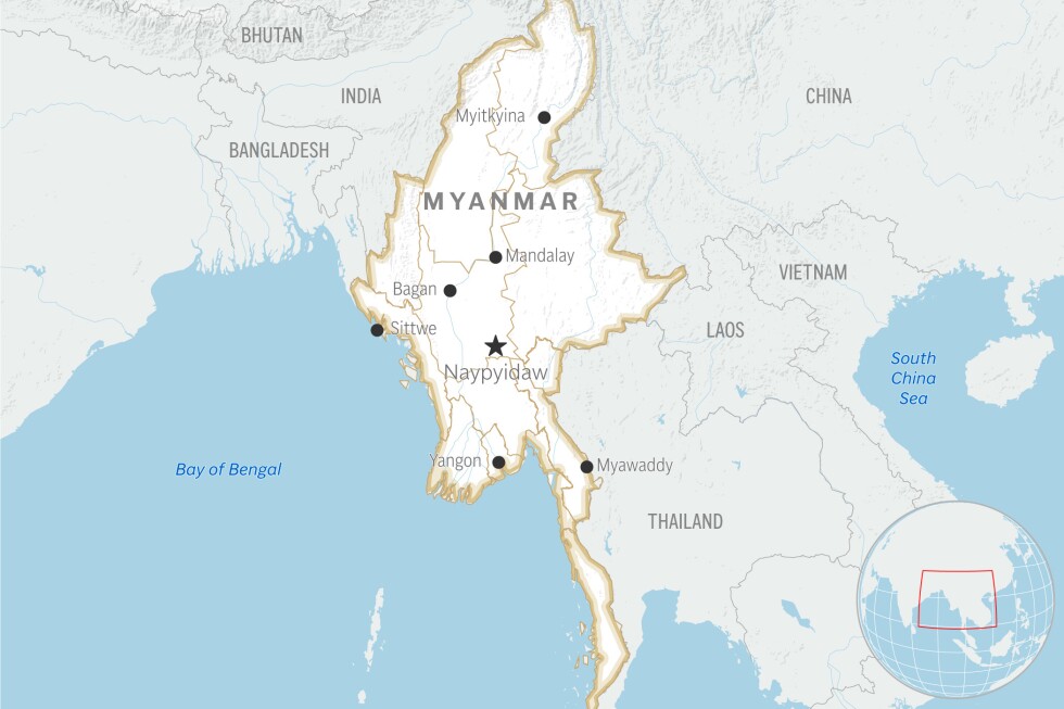
A map highlighting the location of Chin State in Myanmar. Via Wikimedia Commons.
Conflict in Chin State
Chin State, with a land area of 36,018 square kilometers and a population of nearly half a million, is located in northern Myanmar, and it is populated primarily by the predominantly Christian Chin peoples. The Chin peoples are a collection of ethnic groups who speak the Kuki-Chin languages, and who share ethnic ties with the Kuki-Chin peoples of Bangladesh’s CHT, the Mizos of India’s Mizoram, and the Kukis of Manipur and Nagaland.