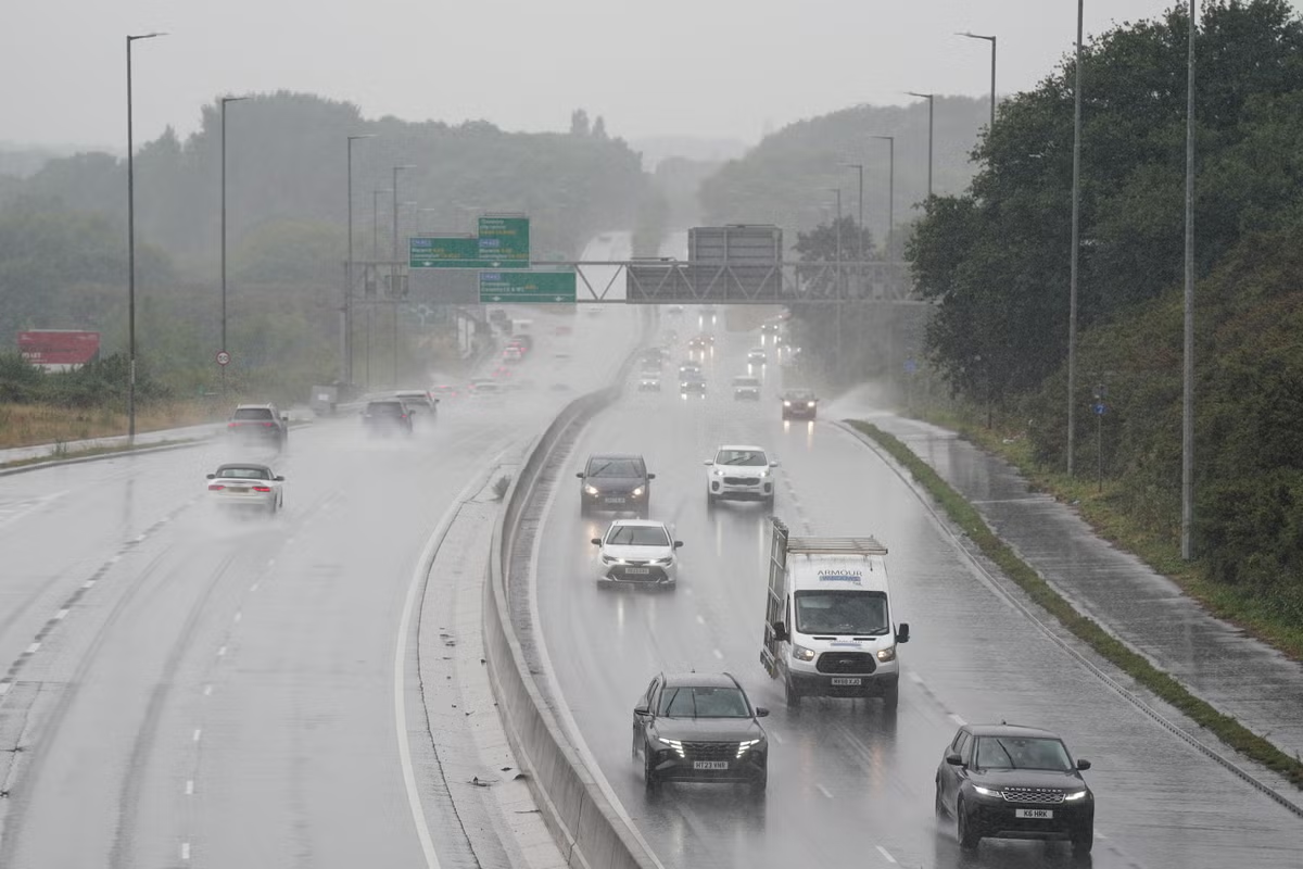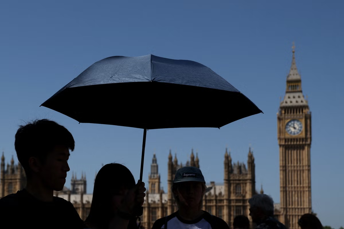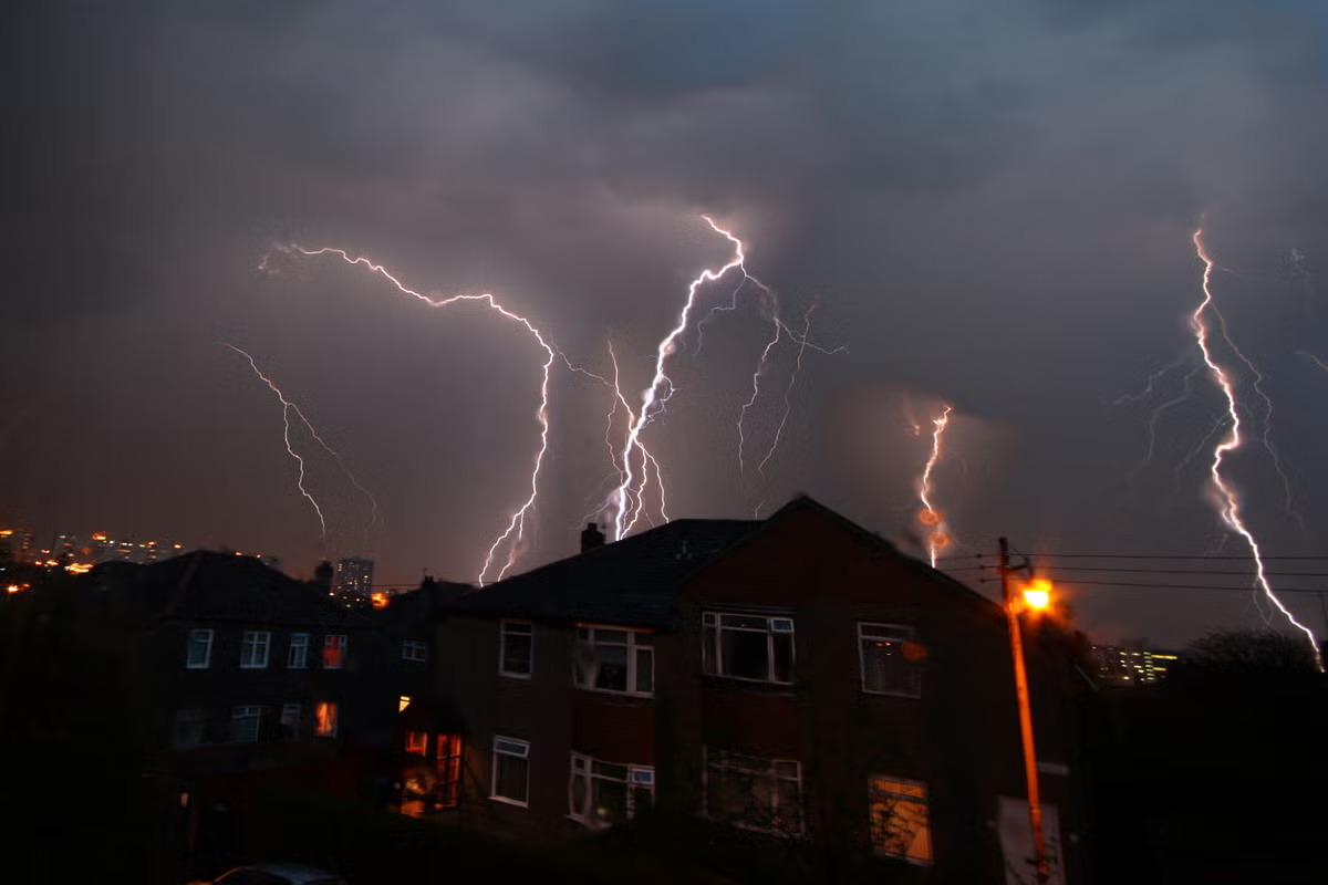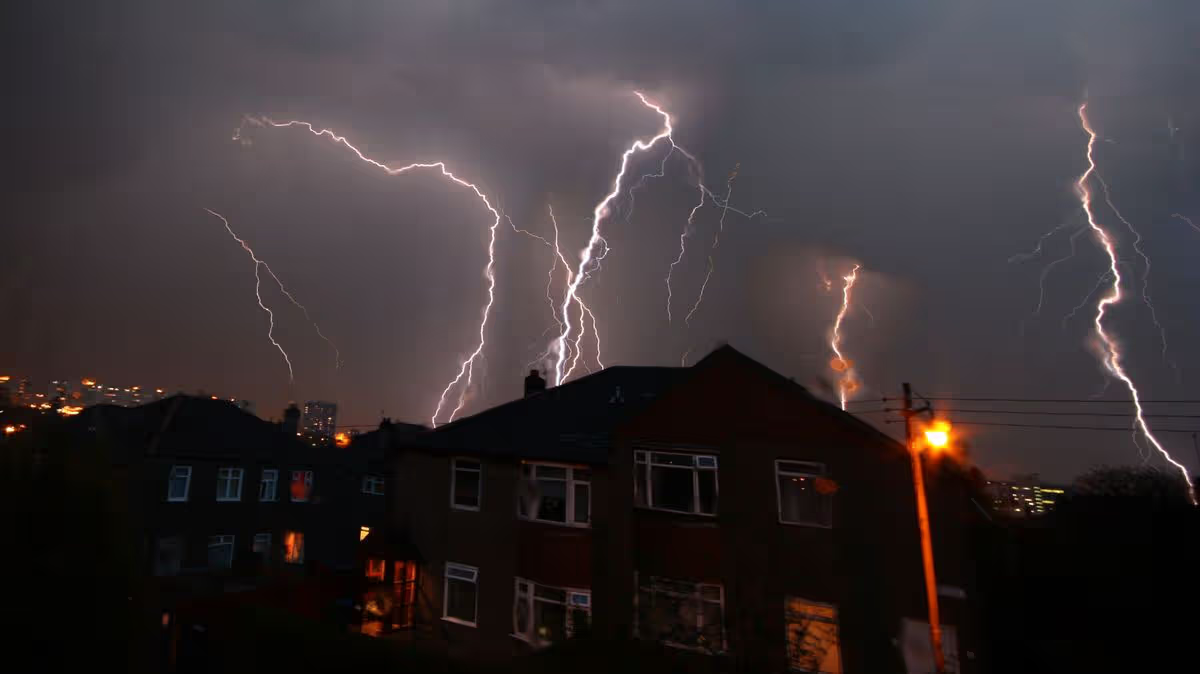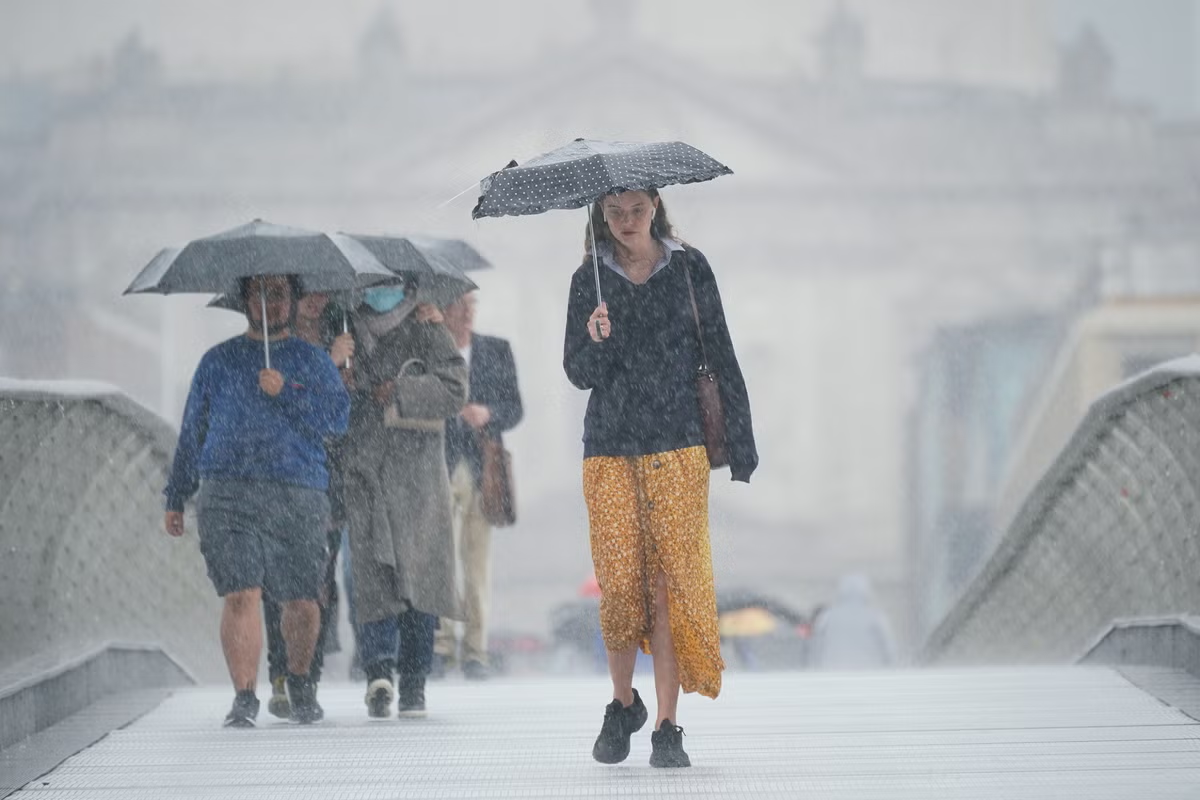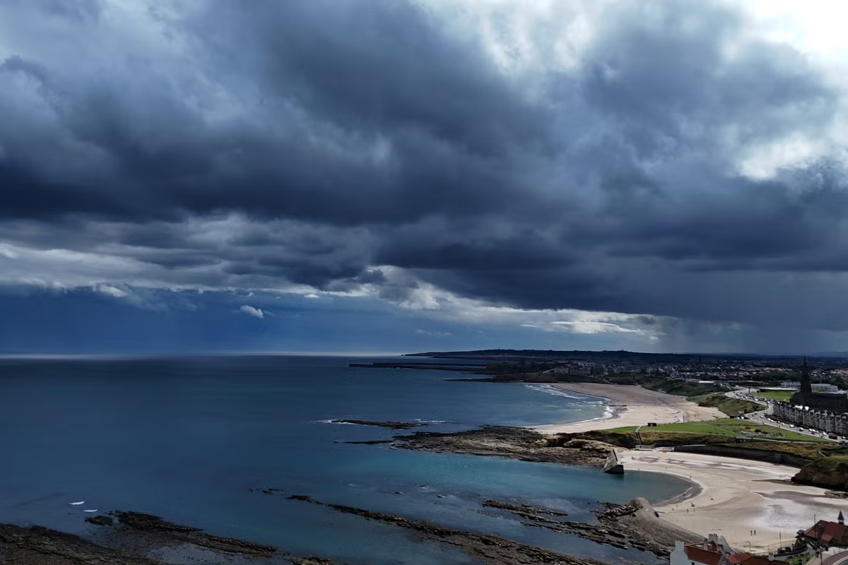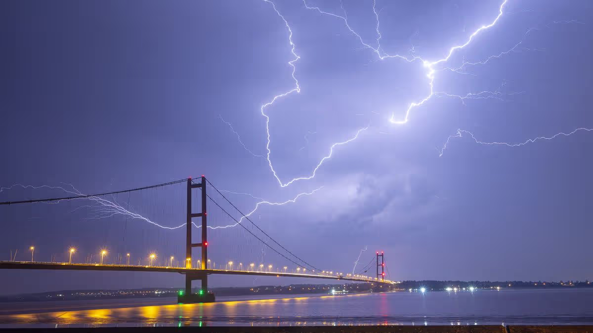
NewsUK NewsStormsThe Met Office has issued a weather warning for thunderstorms, likely to lead to some disruption in places, including south Wales and parts of the Southwest of England14:29, 27 May 2026Forecasters have listed four hazards likely to be caused by thunderstorms today and into Thursday morning.A yellow weather warning is in place for the storms, which are expected throughout the afternoon and this evening. The heaviest of these are anticipated across Wales and the Southwest of England, the Met Office says.These will lead to several dangers, with such severity that Brits should "prepare emergency kits" - items including torches and batteries, and a mobile phone power pack. Rain will be heavy, and hailstones could present hazards at times.The change in the weather - for some - is abrupt after temperatures exceeded 30C for the majority of the nation in the past few days. Those in Cardiff sweltered in 32.9C on Tuesday but, with the low pressure creeping in from the west, the mercury is now expected to fall during the rest of the month.READ MORE: Body found in search for boy who went missing in Cheshire lake during heatwaveREAD MORE: UK households urged to 'never' put 3 items in bin bags or wheelie bins this summerThe Met Office has listed four key hazards Brits should take during the stormy conditions. These are;There is a good chance driving conditions will be affected by spray, standing water and/or hail, leading to longer journey times by car and busProbably some damage to a few buildings and structures from lightning strikesSome short term loss of power and other services is likelySome flooding of a few homes and businesses possible, leading to some damage to buildings or structuresThe Environment Agency has no flood alerts in place as yet but there was, until this morning, concern for some parts of the Midlands. These warnings, such as an alert for the River Blythe in Warwickshire, have been removed for now as the forecast rapidly changes.But rain is forecast, and will be heaviest in the west. The Met Office added: "After another hot day, thunderstorms are expected to develop across parts of Wales as well as some western and southwestern parts of England during this afternoon and through the evening."While many places will miss the worst conditions, where thunderstorms do occur they bring the potential for torrential downpours of rain, frequent lightning, large hail and strong, gusty winds."Drizzle will move from west to east on Thursday too, strongest over the Home Counties in the afternoon. Due to this, driving conditions may remain challenging throughout the day, including at evening rushing hour in parts of the Southeast of England.Article continues belowThe Met Office forecast for Thursday states: "Mostly dry with sunny spells, but also a few showers and thunderstorms possibly breaking out across England & Wales later in the day. Warmer again for many."Choose Daily Mirror as a 'Preferred Source' on Google News for quick access to the news you value.Met OfficeWeatherStorms
Met Office warns four hazards feared today as violent thunderstorms loom
The Met Office has issued a weather warning for thunderstorms, likely to lead to some disruption in places, including south Wales and parts of the Southwest of England
494 words~2 min read