view more
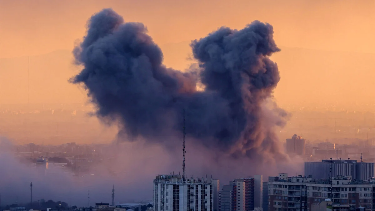
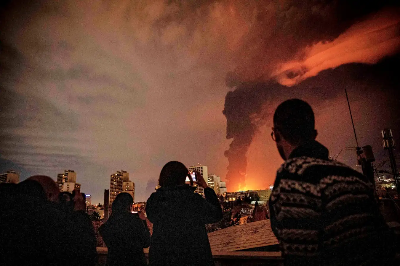
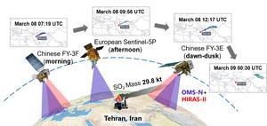
On the evening of March 7, 2026, a series of explosions and fires occurred at multiple oil storage and refining facilities in Tehran, Iran. A research team has utilized a constellation of satellites to investigate and quantify this sulfur dioxide (SO₂) pollution event.
The results of their study are published in the journal Advances in Atmospheric Sciences on May 26.
There is a lack of high quality, real-time ground-based atmospheric monitoring in the Middle East. This leaves a “data vacuum” when industrial disasters occur. “We aimed to demonstrate that satellite remote sensing can fill this gap by providing wide spatial coverage and frequent observations to monitor atmospheric pollutants over large areas,” said Professor Peng Zhang, Meteorological Observation Centre, China Meteorological Administration.
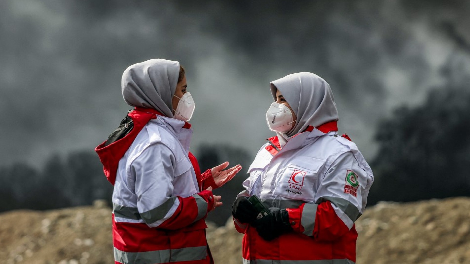
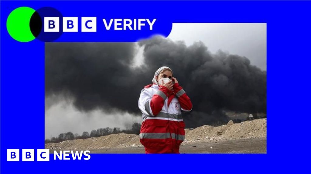
When the March 7 explosions and fires occurred, the Fardis, Shahran, and Aghdasieh depots, as well as the Tehran Oil Refinery were devastated. The Shahran Oil Depot was particularly hard-hit, with burning oil entering the city's sewer system and igniting urban green belts, creating a major source of toxic smoke. Local residents reported immediate health impacts, such as respiratory distress, skin irritation, and a "bitter taste" in the mouth. Scientists are particularly concerned with SO₂ pollution because of its strong irritant and corrosive properties. The combustion of petroleum products mixed with local rainfall also produced "black rain,” a corrosive mixture of oil droplets and soot. As a major precursor of acid rain, it poses a substantial threat to the regional atmospheric environment and public health.