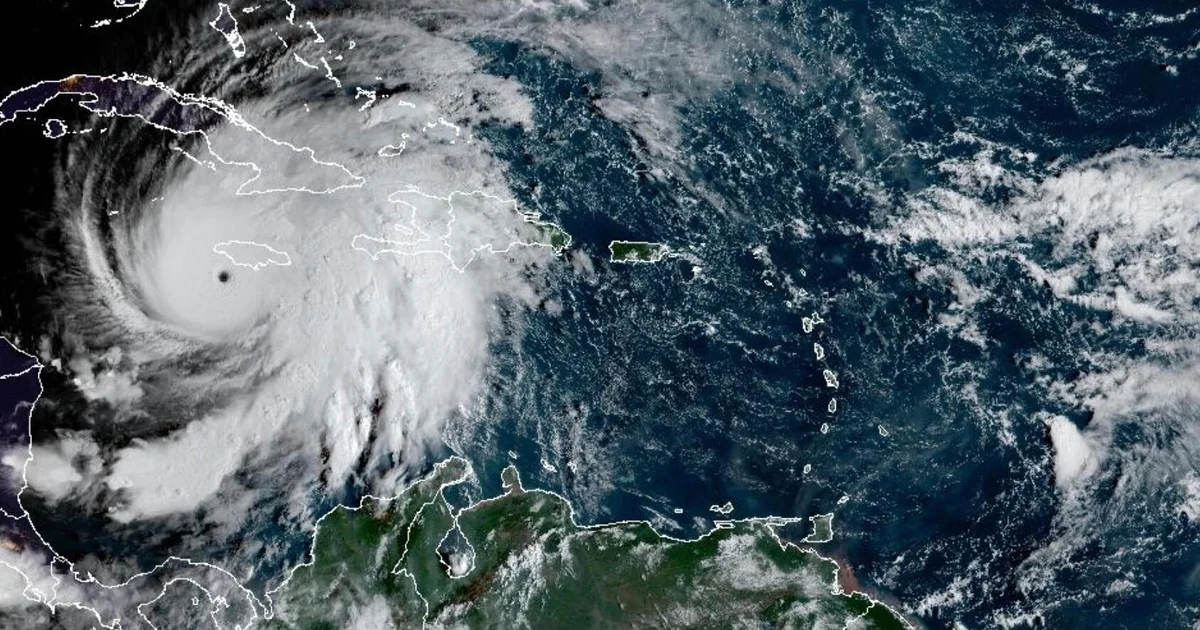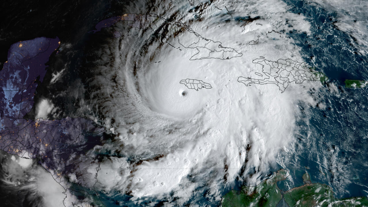
Previous early forecasts have generally suggested a slightly below-average Atlantic season, while noting high levels of uncertainty in the forecast.Show Caption
With hurricane season just over a week away, forecasters from the National Oceanic and Atmospheric Administration will issue the federal government's official 2026 Atlantic hurricane season forecast Thursday, May 21.This will mark the first time federal forecasters reveal their expectations for the hurricane season, after months of outlooks from private forecasters and researchers. Those outlooks have grappled with a confounding mixture of warm ocean temperatures (which can feed hurricane activity) and a brewing El Niño (which can suppress hurricane activity in the Atlantic).The early forecasts have generally suggested a slightly below-average Atlantic season, while noting high levels of uncertainty in the forecast. Experts have said people in hurricane-prone zones should essentially ignore these forecasts — a less active hurricane season can still be a deadly and dangerous one.When will NOAA release its 2026 Atlantic hurricane season forecast?The forecast will be released on Thursday, May 21 at an 11 a.m. ET news conference at the NOAA Aircraft Operations Center in Lakeland, Florida.Speakers will announce the anticipated activity for the 2026 Atlantic hurricane season. Along with factors that may influence hurricane development (such as the looming El Niño), they will also provide advice for how the public can prepare for the season, which begins June 1 and ends November 30.The anticipated activity for the central and eastern Pacific hurricane seasons will also be announced.A typical year averages about 14 tropical storms, with seven spinning into hurricanes, based on weather records from 1991 to 2020.Colorado State forecasters predict a below-average Atlantic hurricane season, with six hurricanes total and only two of those expected to become major hurricanes of Category 3 or higher.Several factors will play a role in the outlook including sea-surface temperatures, the progress of the El Niño pattern in the Pacific Ocean, how it's linking up with the atmosphere and the timing of other planetary waves that influence the hurricane season.El Niño holds the keyEl Niño can have a huge impact on the severity of the hurricane season in both the Atlantic and the Pacific oceans."Typically, El Niño leads to more rising air over the tropical Pacific, which then leads to stronger upper-level wind shear and sinking air across the tropical Atlantic," said associate scientist Andy Hazelton of the University of Miami in a recent email to USA TODAY. "This usually reduces the number of hurricanes in the Atlantic, especially in the Caribbean."Conversely, "El Niño years are typically associated with more activity in the eastern Pacific," Matthew Rosencrans, NOAA’s lead hurricane seasonal forecaster, said in a recent e-mail to USA TODAY.Why sea-surface temperatures matterThe forecast also will take into consideration changes in sea-surface temperatures, because of the influence warmer waters can have on tropical storm and hurricane formation. In some cases, studies have shown warmer ocean temperatures can counter some of El Niño's influence.Sea-surface temperatures right now are above normal in many locations across the hurricane basins.In the Niño region along the equator west of South America, they are running at near record highs for this time of year. The same is true for the global average ocean temperature and across the Gulf of America, renamed by the Trump administration from the Gulf of Mexico.Doyle Rice and Dinah Voyles Pulver are national correspondents for USA TODAY who cover weather and climate. Reach them at drice@usatoday.com and dpulver@usatoday.com.