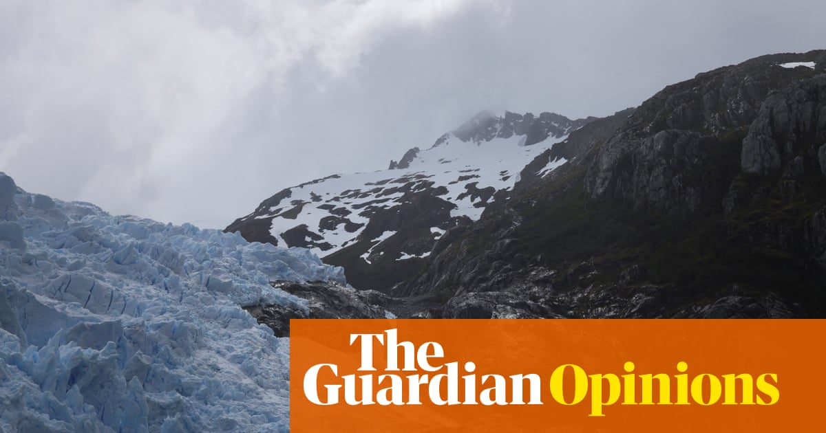
A review paper led by researchers from the University of St Andrews highlights the transformative potential in the use of radar in polar research to predict future sea levels.
Published in the journal Reviews of Geophysics, the research explores how radar has long been used to examine into, and beneath glaciers and ice sheets where direct observations are difficult to obtain. This work focuses on one powerful application—polarimetry—which examines differences in radar signals using different antenna orientations.
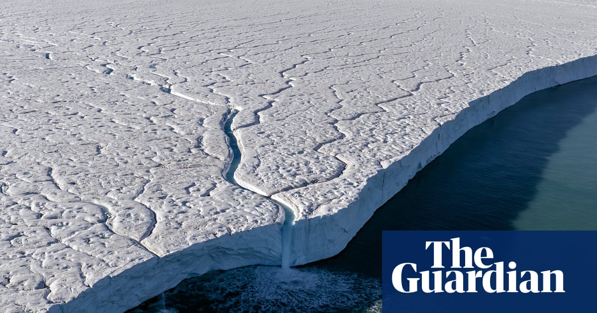
Radar polarimetry is primarily used to measure the orientation of ice crystals, known as crystal fabric. This fabric strongly influences how ice flows, a key factor in predicting future sea level rise as ice is transported from land to ocean.
But ice is also a time capsule, preserving a record of past flow and climate changes over thousands to tens of thousands of years. By detecting subtle shifts in crystal alignment, polarimetric radar can reveal when and how ice flow responded to major climate events, unearthing a unique archive of Earth's environmental history.
Dr. T.J. Young, one of the lead authors from the School of Geography and Sustainable Development, said, "The methodological and technological advances that we've been seeing in polarimetric radar over the past decade have been so exciting in that it shines a light on to clues that reveal how glaciers have behaved in the past, that were otherwise invisible to other geophysical imaging techniques.