This month, engineers at NASA’s Jet Propulsion Laboratory in Southern California are testing a spacecraft sensor that will help measure how quickly Arctic sea ice is disappearing. And while that instrument won’t launch for another year, scientists started preparing for its use during a recent field campaign in the Canadian wilderness.
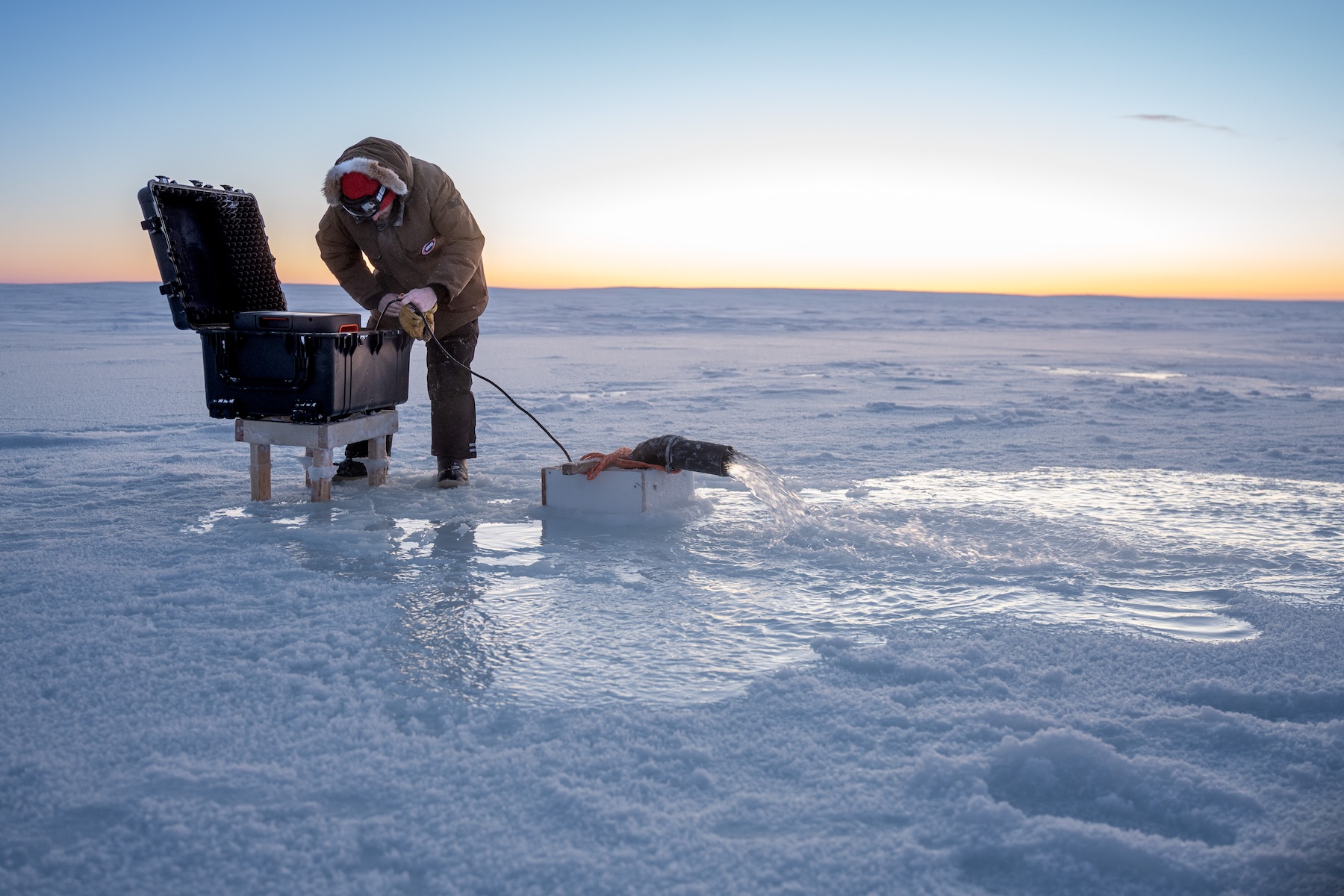
Researchers spent two weeks in April flying above the Arctic Ocean, often watching sunrise from an altitude of 1,500 feet (457 meters) in a World War II-era plane. A variety of cutting-edge sensors used to measure the thickness of sea ice and snow were aboard the plane, including a stand-in for the microwave radiometer now undergoing testing at JPL. Measuring sea ice thickness is tricky, requiring a number of precise figures, including how high the sea ice rises above water, the depth of snow on top of that ice, and microwave emissions from the surface.
Flights were timed to the passage of satellites overhead so coordinated observations could be taken of the same features. Combining the airborne and satellite data will improve scientists’ ability to measure sea ice and understand how climate conditions are evolving across the Arctic.
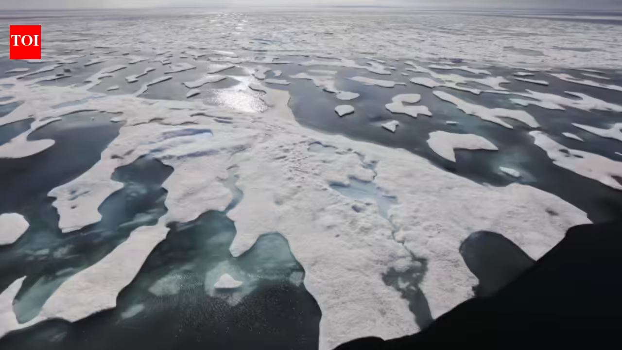
In recent decades, the extent and thickness of Arctic sea ice have changed. Improving measurements of those changes helps scientists better understand the Arctic system while supporting navigation, weather and ocean research, and future satellite observations. As Arctic shipping activity increases, the region is also becoming strategically and economically more significant.