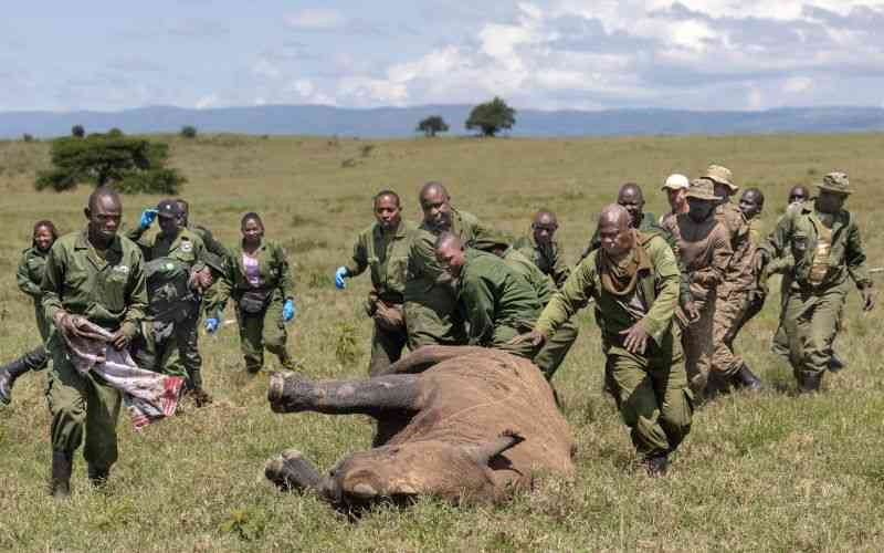
In 2012, Africa’s elephant population was facing its worst poaching crisis in decades. Well-organized hunters were slaying the animals by the hundreds and outwitting every effort by park rangers to thwart them. To help stop the carnage, Jake Wall, a Canadian researcher and geography PhD working for the organization Save the Elephants, wrote an algorithm.
Wall’s program was designed to detect when an elephant’s GPS collar had stopped moving for more than five or six hours—signaling the animal might be dead and triggering an SMS alert to local wildlife managers.
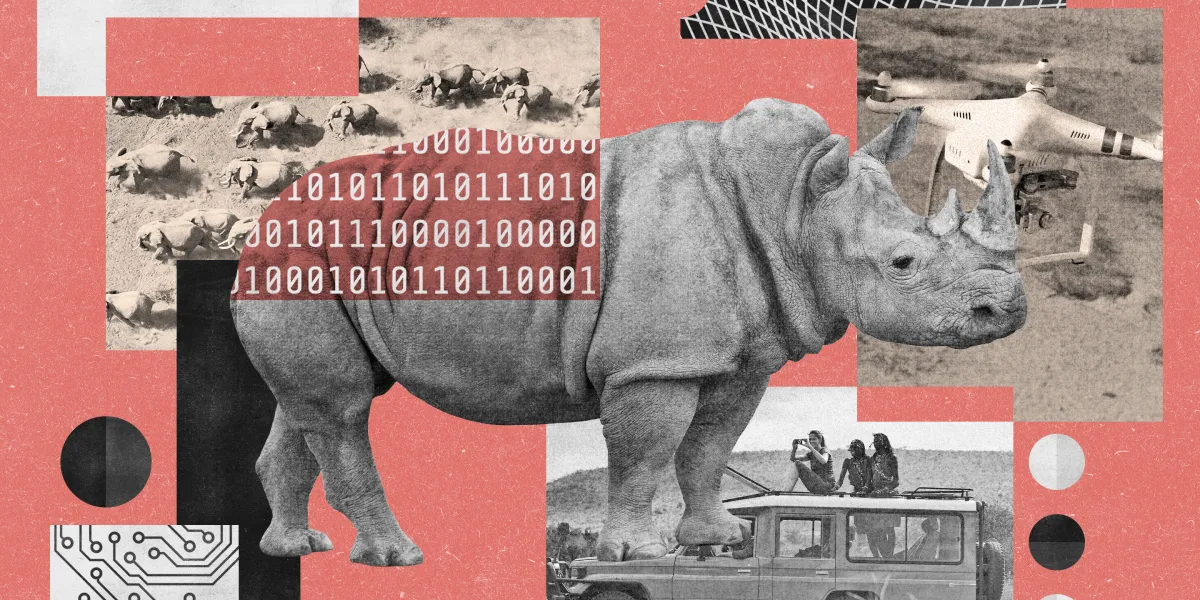
It was a pioneering first step, tracking harm on the road to preventing it. And it marked the beginning of EarthRanger, a wildlife-management platform that has expanded to a remarkable degree—and is saving animals’ lives.
Launched in 2015, EarthRanger is now an AI-integrated data visualization and analysis software platform that gives conservationists the real-time information they need to keep animals, habitats, and communities safe. It collects, integrates, and displays data not just from GPS collars, but from camera traps, patrol reports, and remote sensors. It can provide an interactive-map view of tagged animals, rangers, and other assets like vehicles, fences, and other equipment—and sometimes poachers too—generating alerts that can mobilize field teams so they can intervene quickly if they see evidence of trouble.