Intervention for farming and flood risk change the unique systems as communities grapple with how to live alongside the vital waterways
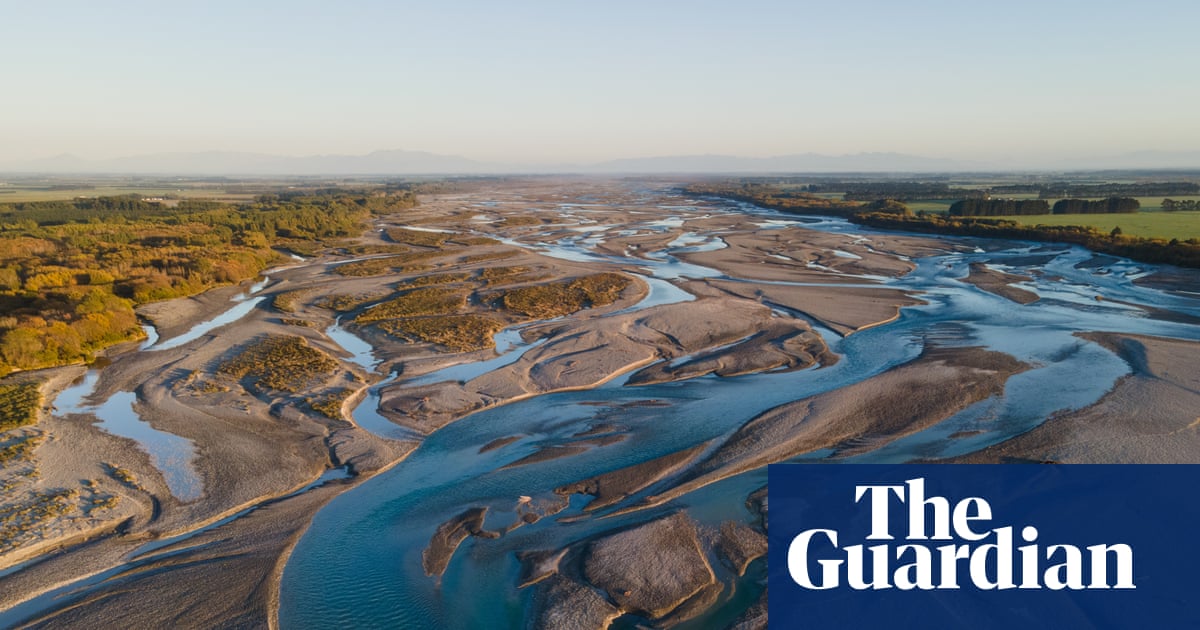
When British settlers started building Christchurch city 170 years ago, they largely ignored the nearby Waimakariri River, which twists from the South Island’s alps towards the eastern shore.
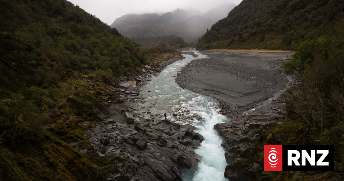
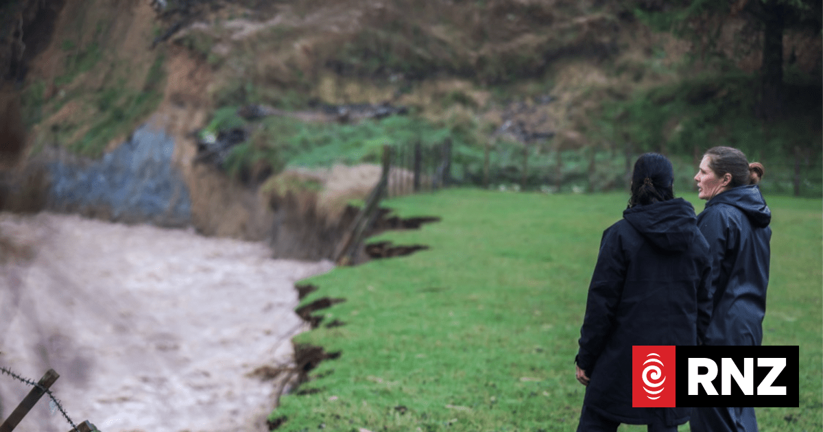
But rain and glacial shifts compelled the braided river – a globally rare form of river with many woven channels – to take on a new shape, occasionally flooding land and depositing tonnes of shingle in its wake.
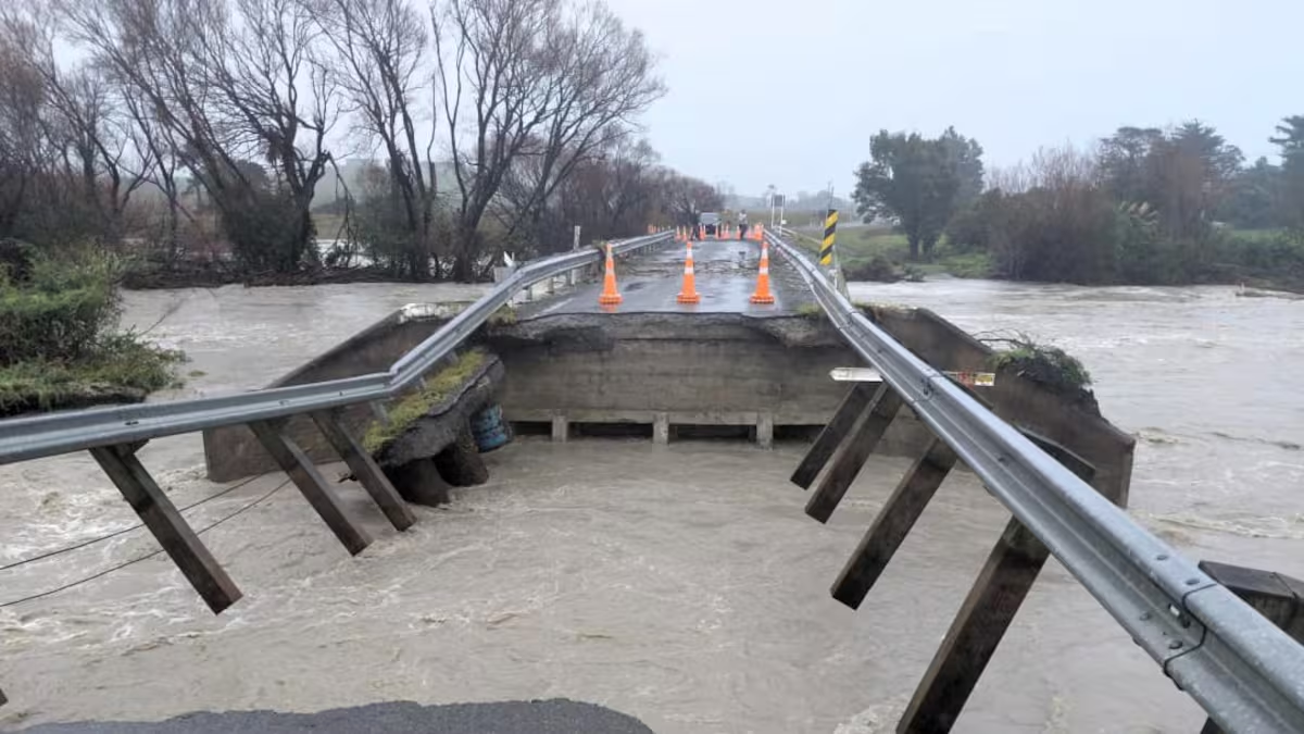
By the 1920s, the Waimakariri was described as a “flood menace” in a report to authorities, one that showed a “deficiency of nature, which must be made good by the art of man”.
With that, the river was brought into submission, slowly hemmed in with stopbanks, exotic tree planting and gravel extraction. Now it requires endless maintenance to tame the river and prevent the risks of flooding to homes, infrastructure and the nearby airport.