Low pressure system funnels rain over already saturated areas, compounding risk of further flooding
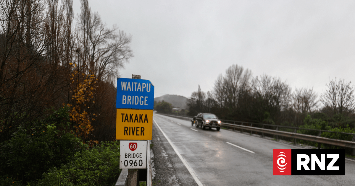
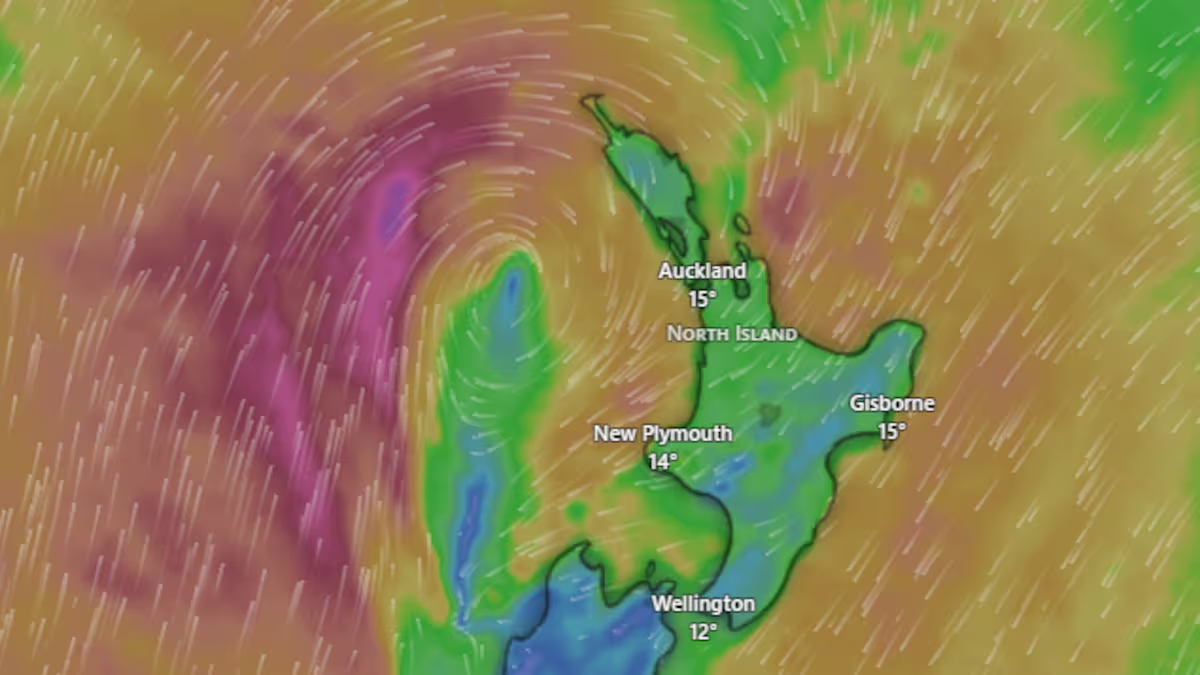
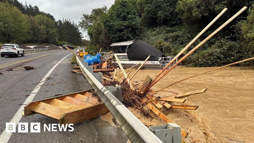
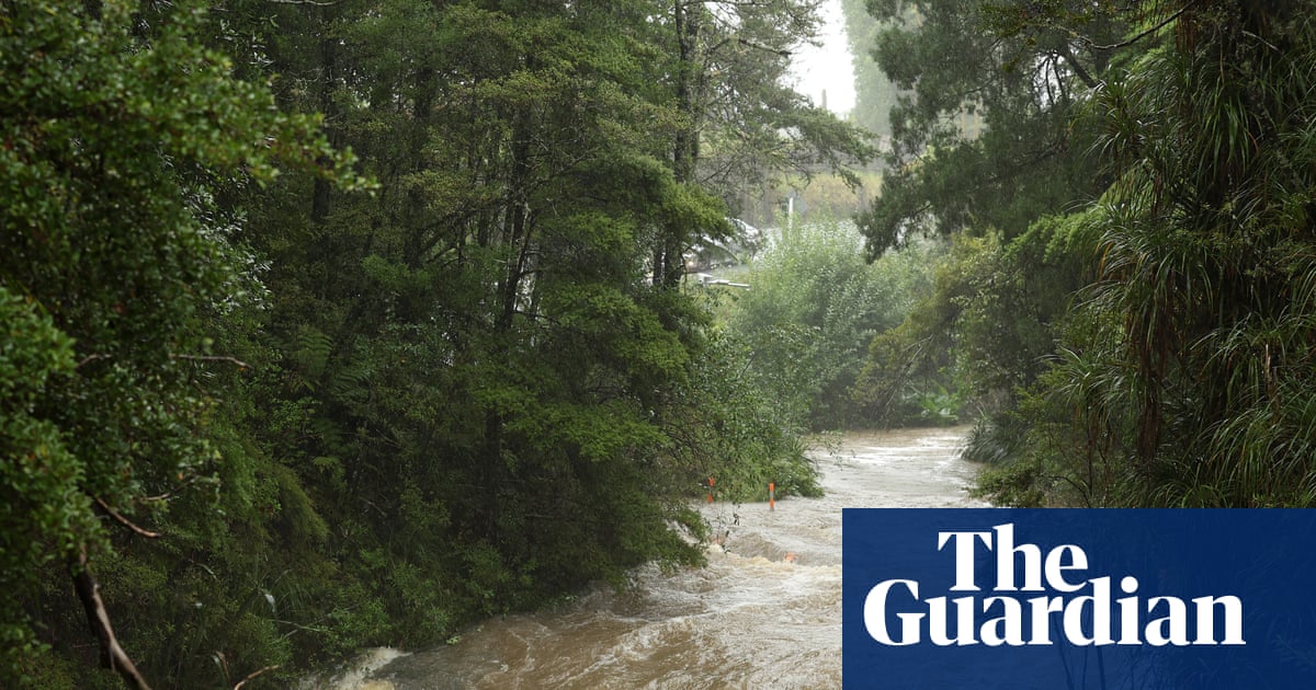
A deep area of low pressure to the south-east of New Zealand’s North Island swept into the region on Sunday, bringing heavy rain, gale-force winds and dangerous coastal swells that lashed exposed shorelines. The storm triggered power outages, forced evacuations and damaged infrastructure, with further impacts likely on Monday as the system lingers for a time, before tracking southwards later.
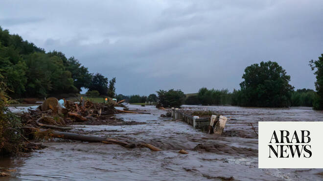
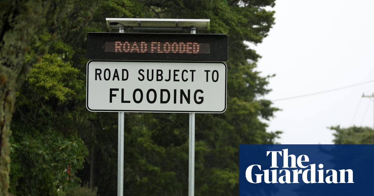
Its arrival came after days of widespread flooding in the Ōtorohanga district, where a man was found dead after his vehicle became submerged in flood waters. Some areas recorded more than 100mm of rain in 24 hours on Thursday, with Gisborne, Hawke’s Bay and the Bay of Plenty bearing the brunt of the deluge. The Tararua district and Wairarapa have also been experiencing heavy rain and strong winds from the storm, with 24-hour rainfall totals reaching more than 100mm locally, and wind speeds of about 80mph (130km/h) along coastal parts.
The unusually persistent system developed when a cold front tracking east across the country late last week merged with a strengthening low-pressure system offshore, causing it to deepen. It then became trapped between two blocking high-pressure systems, stalling in place and subjecting the same communities to prolonged heavy rain.