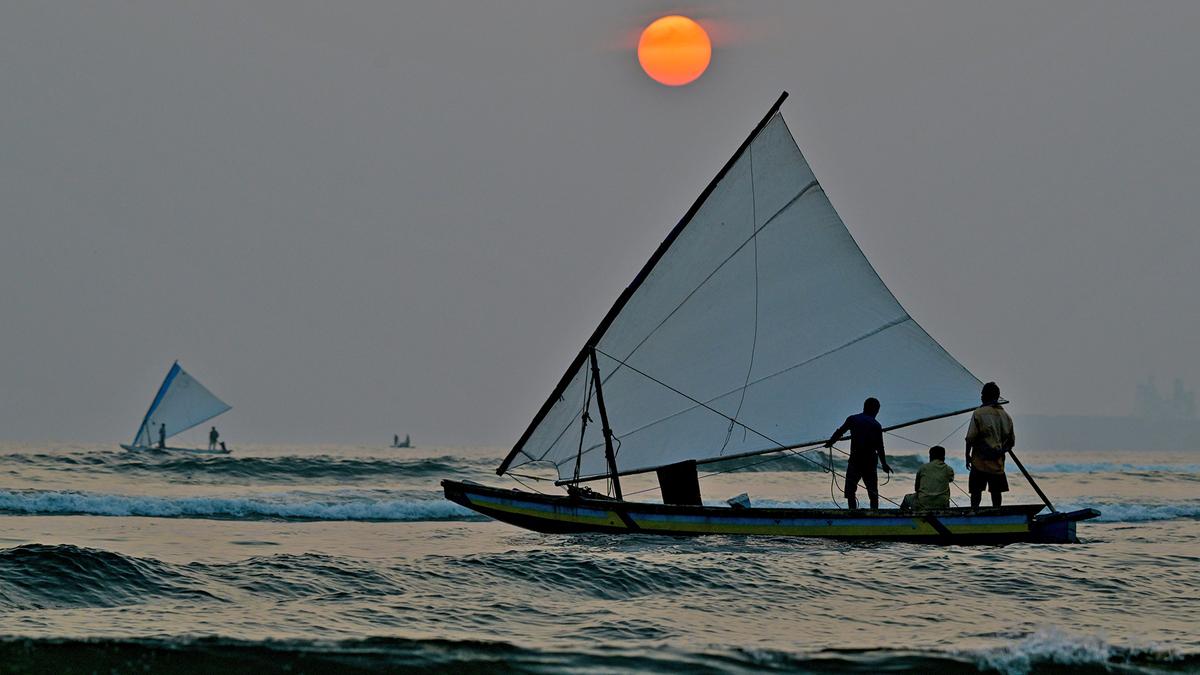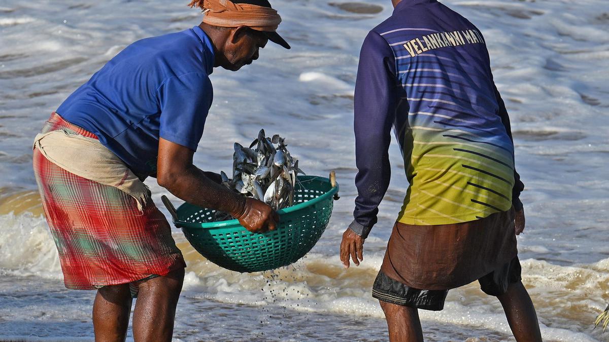
For millions of people living along India’s vast and varied coastline, the sea is both a source of livelihood and a persistent risk. It feeds families and fuels trade, but it also brings cyclones, high waves, powerful swells and severe erosion.
Accurate, location-specific forecasts of these sea-state conditions are essential for coastal communities, mariners, and planners and such forecasts depend on sustained, high-quality wave observations. Over the past two decades, a quiet transformation has been taking place just offshore.
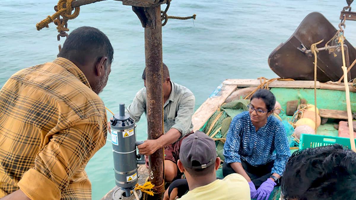
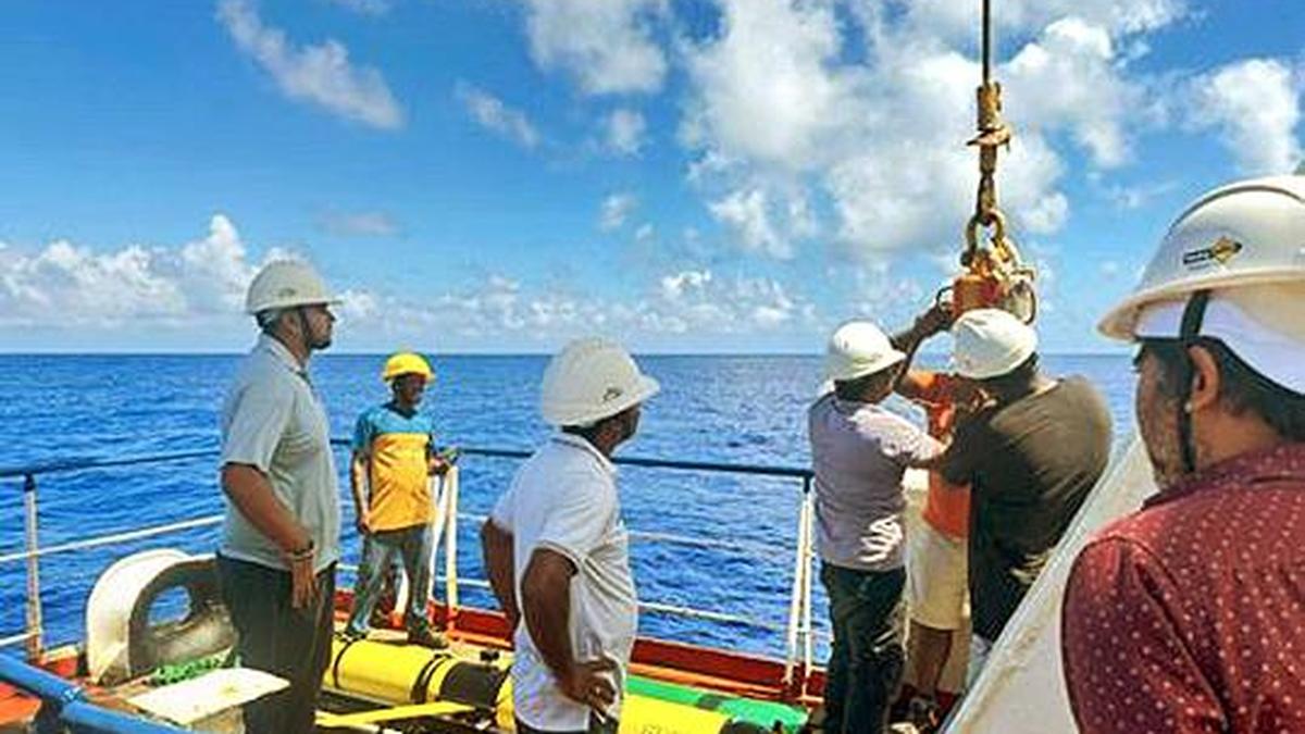
Anchored in nearshore waters and rocking with the waves are instruments that do far more than measure the sea — they connect scientists, fishers, ports and policymakers in a unique partnership built on trust.
The Wave Monitoring Along Nearshore (WAMAN) buoy network of the Indian National Centre for Ocean Information Services (INCOIS) is behind this transformation. Now in its 18th year, the network’s 17 buoys, spread along India’s coastline, have become a critical source of real-time information on wave height, direction and energy. These data feed forecasts, support early warnings and strengthen coastal decision-making.
What makes WAMAN unique is that it is a community-owned coastal observation system — one of the first of its kind in the Indian Ocean region with active participation from local communities, making forecasting both more effective and more sustainable.